Why to buy?
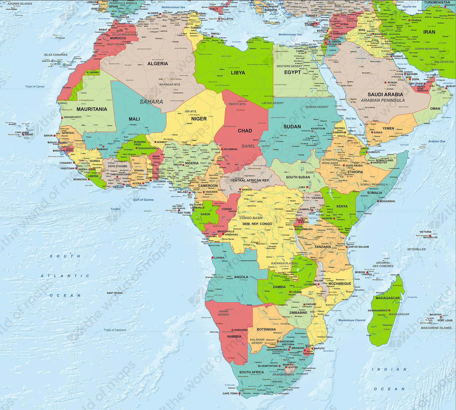
- All countries are distinguished by colour
- Shows the depths of the seas in relief
- Political map of Africa in English
Additional information
A very detailed and extensive political map of Africa. The map has a beautiful colour combination, a contemporary look and is in English.
The countries, capitals, larger and smaller cities, waters, rivers, main roads, mountain areas and their names are clearly displayed
There is a vector sample as well as a jpg sample downloadable. The vector sample is a default that shows the structure, layers and details of the file as provided. It does not display the exact image of the map itself.