What can a map signify?
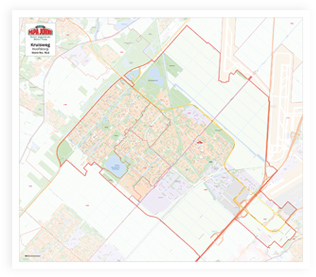
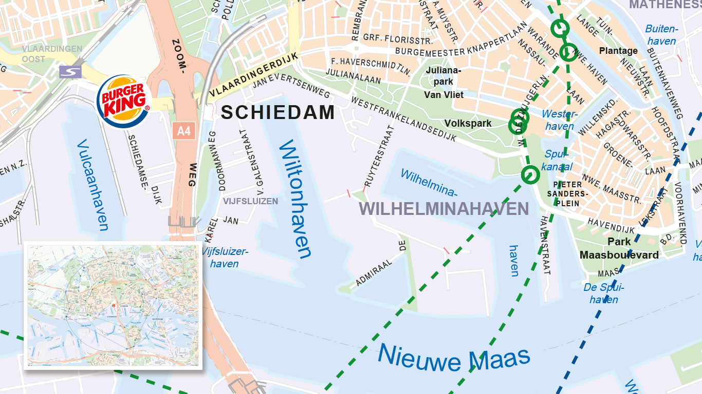
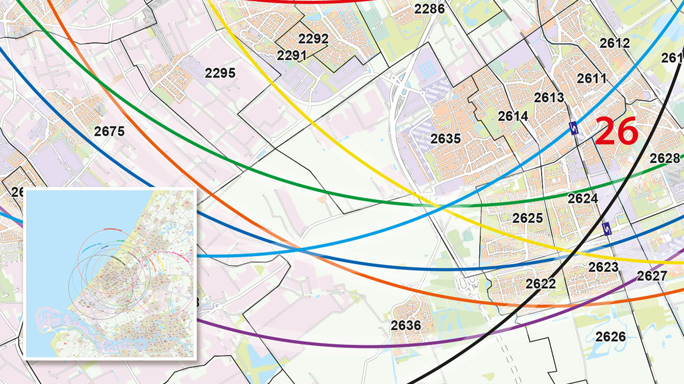
This type of map is often used by corporations or departments within companies who specify in the carriage of goods. On a zone map, the customer's work or sales area is displayed. The map is divided into zones. These zones may be areas drawn from a calculated distance. From the transport location(s), circles are drawn on to specify distances. The display of places and/or postal codes can be determined in which zone a location is based.
“A zone map covers a region or several regions in which a company wishes to move”
Stepping it up
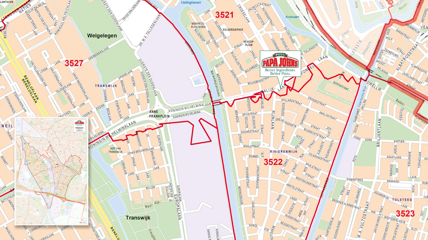
It becomes more complex when zones are created based on the distance travelled. In particular, delivery companies want to know which customer locations are within a ‘X’ minutes’ drive on a scooter, bike or car. A zone boundary gives a much more realistic calculation of the distance that needs to be travelled, including the associated travel time.
Multifunctional use
Often, a larger area is divided by country. For example, on the basis of a postal code area, you are able to establish a fixed weekly delivery day graphically. Such maps are often displayed on the website, so customers have an idea of the delivery day or price when orders placed. The maps are also often used as a wall map or placemat within the company for the same reason.
Compiling a map?
Do you have a zone or area that you would like to compile? Get in touch with us via e-mail, chat or simply gives us a call.


