What can a map signify?
Towns, provinces, federal states, departments, ministries and embassies. All these authorities believe that they want to logically design their own work area. These can be enriched with all kinds of additional information as desired. Many authorities have their own data. The digital information is often used to make a local wall map. This is often a large-scale map or whiteboard for the purpose of decorating a hallway or room.
"A maps main focus is orientation, but can also be used for decorative purposes"
Extra data needed?
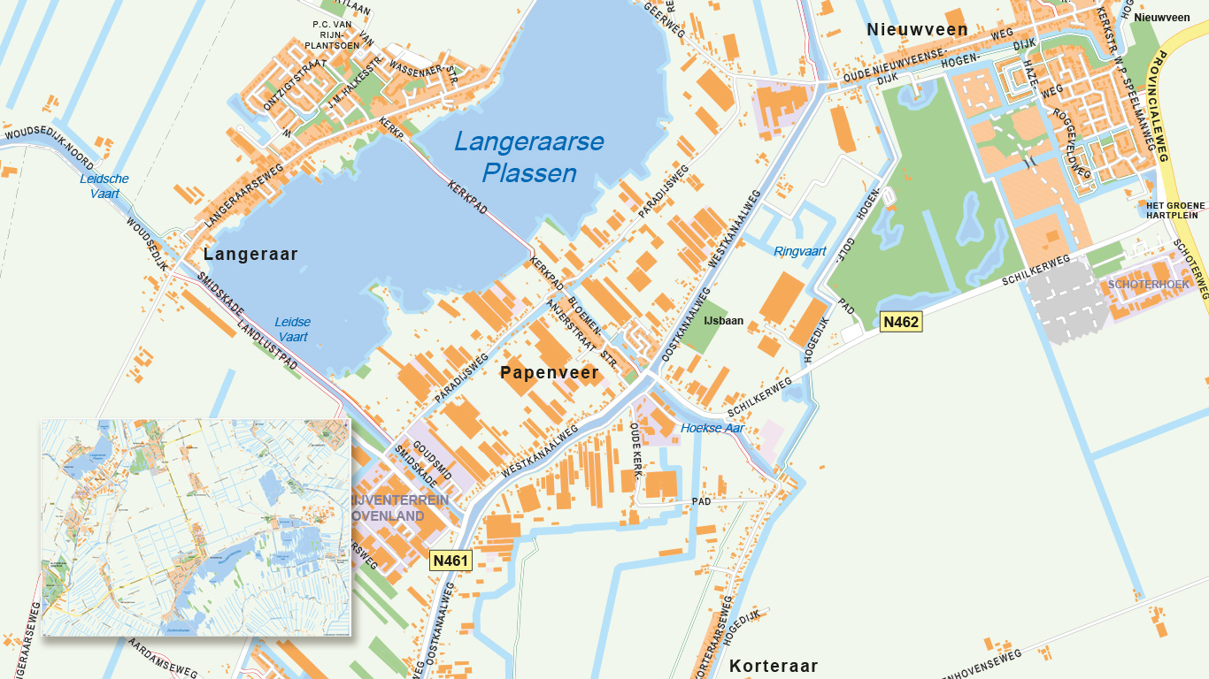
In addition to regional data, additional information can also be displayed in many forms. These may be locations, regions, or other map elements. Managers of water boards, for example, want to see the waters, locks and bridges on the map. Ministries and embassies benefit from a clear, organised map.
Every map is unique
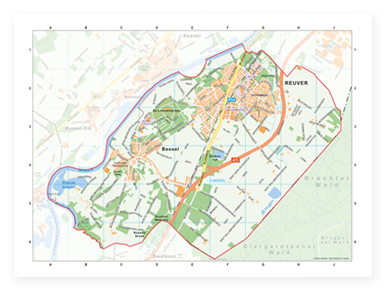
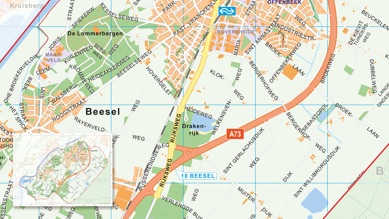
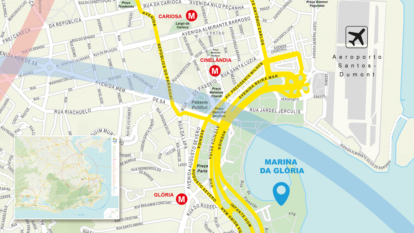
Given the extent to which the government is active, and the levels in this case also differ greatly, it is unlikely that no map image will have the exact same similarities. From a simple district map on a small format to a wall-filled poster for the Dutch Embassy during the Rio Games. Each map is unique to its purpose.
Compiling a map?
We have the possibility to map out any area on earth, with a detail ranging from the smallest streets in the smallest town to the contours of the largest country on earth.
Compiled with both our own data and open data, the map can be transformed into a complete personalised map. For a better understanding of the possibilities, please contact our map experts.


