Why to buy?
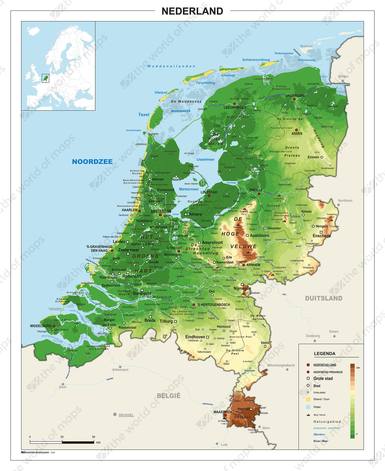
- The heights are clearly displayed by the different colours
- Nice digital map for educational purpose
- Larger places, waters, regions and nature reserves are displayed
Additional information
A very clear and easy to read digital map of The Netherlands. Ideal for use in schools. This physical map shows the height differences. It also indicates the areas below sea level through the dark green colours. All provinces, county capitals, larger cities, waters, regions and nature reserves are displayed. The map shows many nature reserves on land and at sea. For example, the Marina "De Kreupel", a few kilometres above Andijk in the IJsselmeer and "De Marker Wadden", being newly developed and also in the IJsselmeer.