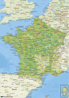
We can provide you with a vector map of each country. Do you want a political or a physical map? Less or more detail? We make custom maps just the way you need them to be.
You are here
Country vector maps
-
37,50In cart
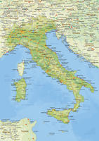
- • Physical map of Italy
-
37,50In cart
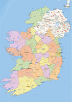
- • Political map of Ireland
-
37,50In cart
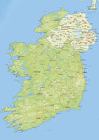
- • Physical map of Ireland
-
37,50In cart
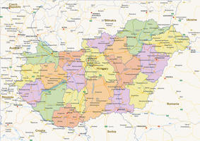
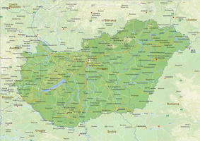
- • Political map of Hungary
-
37,50In cart
- • Physical map of Hungary
-
37,50In cart
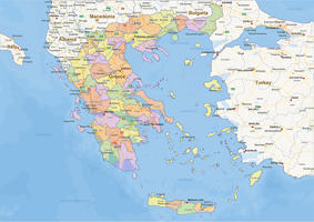
- • Political map of Greece
-
37,50In cart
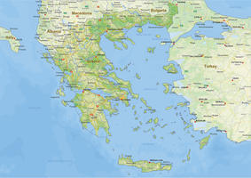
- • Physical map of Greece
-
37,50In cart
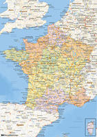
- • Political map of France
-
37,50In cart
- • Physical map of France
Pages
What is covered by country maps?
Maps have been created since Babylonian times (2500 BC) and have changed shape and function over time. Ancient maps were a form of propaganda, while in the Middle Ages the map was used as well as religious description as well as world navigation. The country maps we know best now, came around 1800. Only from 1800 it is common to show land borders on the map. And from that point on, maps are mainly improved in color, shape and view.
Customized map?
If your map is not available on the website, you can email us / call us what you want, what specific items you want and what colors the map should contain.
The cost of a custom-sized map is higher than that of a standard map and starts at 100 euros at a minimum.
