Why to buy?
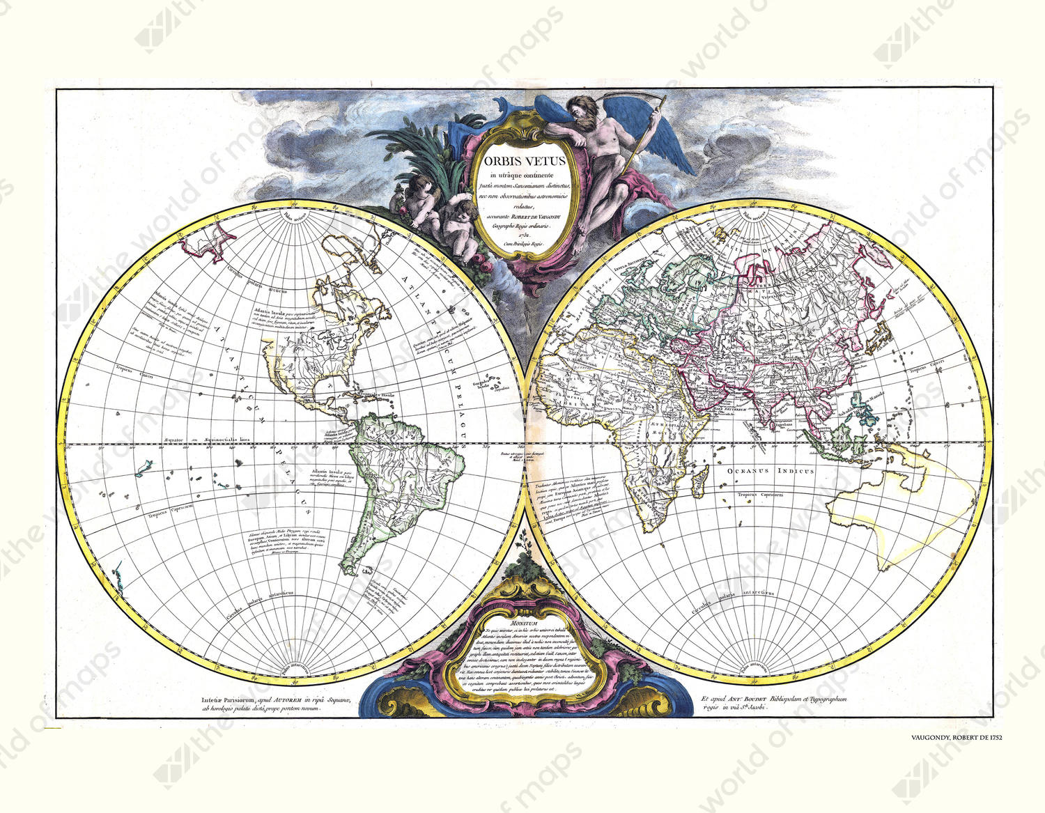
- Both hemispheres are shown clearly and in detail
- With the waters, mountains and coloured contours of the continents
- World map from 1752 by Robert de Vaugondy
Additional information
World Map of Robert de Vaugondy. Original print from 1752.