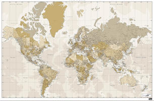
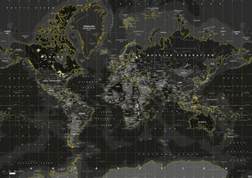
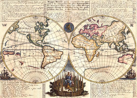
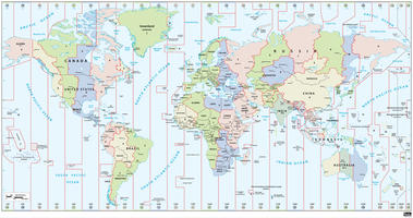
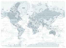
Our digital vector world maps are available in all sizes. Whether you're looking for a small map or a big world map, polical or physical, more or less detail, nothing is impossible.
You are here
World vector Maps
-
50,-In cart
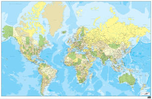
- • Highly detailed digital world map
-
20,-In cart
- • The map describes very detailedly coastal areas of the continents
-
50,-In cart
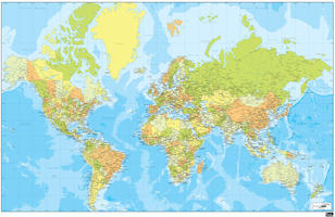
- • Extra large map of the world
-
20,-In cart
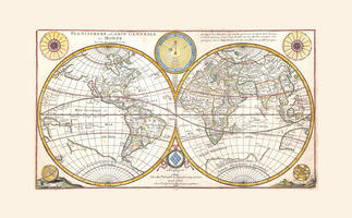
- • Map in hemispheres, with the equator, tropics, latitude and longitude
-
50,-In cart
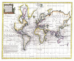
- • Traditional colours
-
30,-In cart
- • World map with yellow accents
-
20,-In cart
- • Map of the world in hemispheres surrounded by text blocks
-
30,-In cart
- • Digital world time zone map
-
50,-In cart
- • Contemporary shaped world map in gray tones
Pages
General
World maps are available in many types and sizes. You can select different projections, map images, physical or political views, detailing, or color use. Below we'll give your more information about these different choices.
Projections world map
Viewing the outside of a round ball on a flat surface (on a map) is not possible without first adjusting the image of the sphere here and there. That is precisely what cartographers have tried over the centuries. There are hundreds of types of projections developed. The most used projections are the Mercator, Robinson and the WGS84 projection.
Mercator
Today, the most well known projection method is the Mercator projection; a projection that shows the countries around the eqauator relatively smaller than the rest. This very old projection method is still widely used because the most influential countries and continents so far in our world are not near the equator and are therefore relatively larger. This world map projection has also been revived because Google uses this projection as a basis for all its maps. It's a somewhat infamous projection as well, as it shows certain countries way out of proportion. Yet, the public silently agrees this to be the leading projection today. The Robinson projection and the WGS84 projection are more accurate, but the 'major' continents like Europe, North America and Australia are projected smaller than in the Mercator projection.
Map view
Europeans are familiar with the image of Europe being displayed in the middle, America portayed left and Asia and Australia to the right. The Americans and the Chinese know a very different map image compared to the people in Europe. These images depict America and / or China in the middle of the world map, like you might've imagined.
Political world map or physical world map?
A political world map shows all states, including countries in a clear way. In addition, many other information is also shown; Cities, rivers, mountains, etc.
A physical map usually shows the height, but that does not always have to be the case. Landuse, soil type, temperature or other "physical" information can also be displayed.
More information
If you do not find the map of your choice in our shop, then we're likely to make it for you. Therefore, please contact us.
