Why to buy?
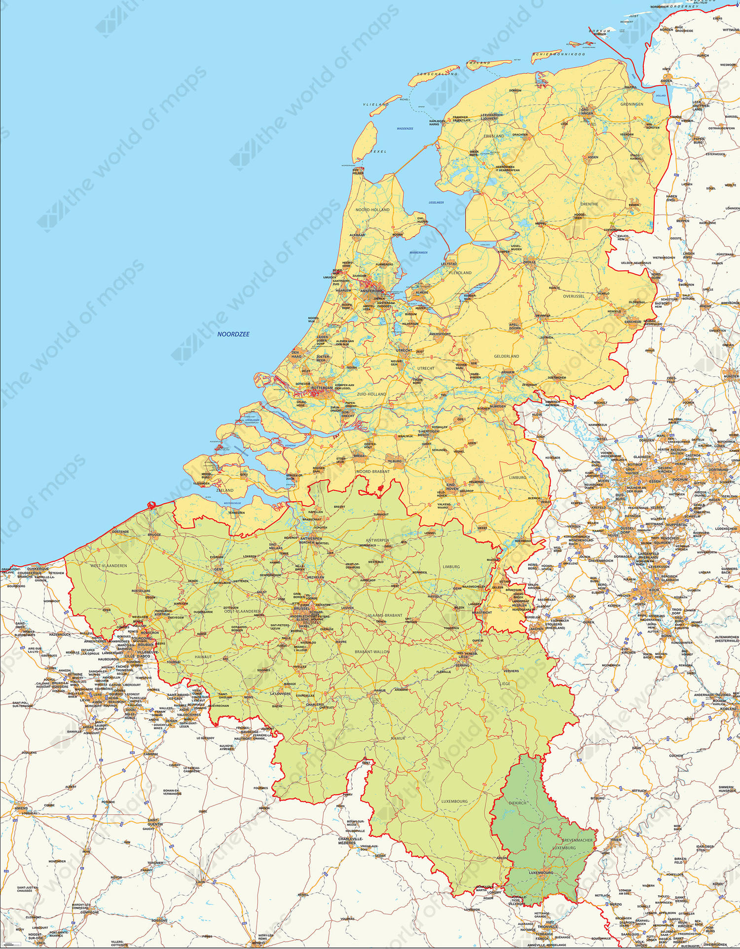
- Each country individually coloured
- Showing highways, major cities, railways and waterways
- Red contouring of boundaries from countries and their provinces
Additional information
A clear map of the Benelux. Highways and major places are displayed as well as land use. Each country is individually coloured.