Why to buy?
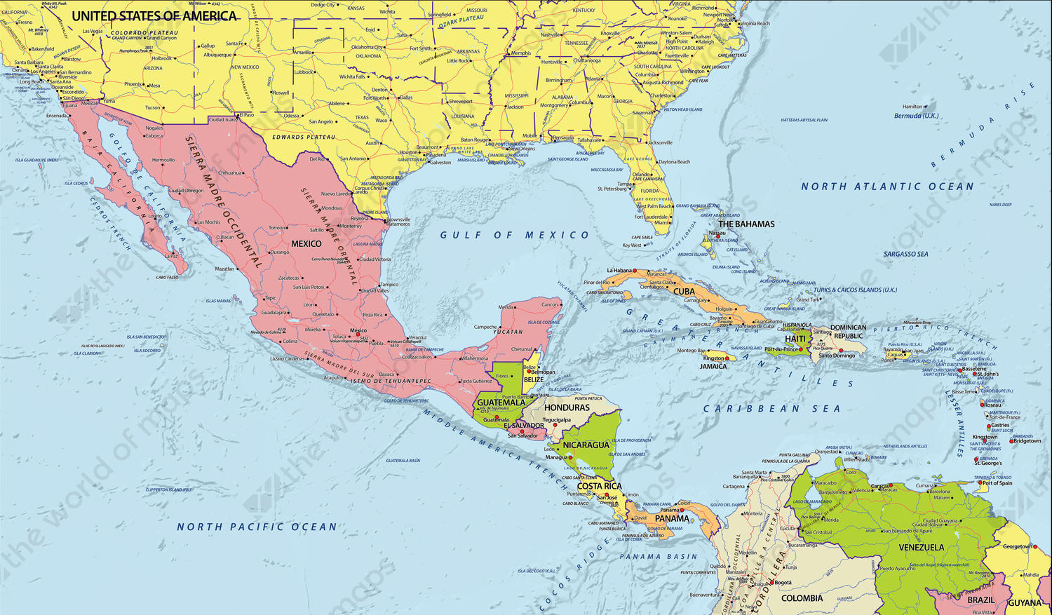
- Countries are shown in colour with clear boundaries
- Includes major cities, roads and rivers
- Showing the relief of the sea floor beautifully
Additional information
A detailed digital map of Central America with all countries, major cities and roads. In English.