Why to buy?
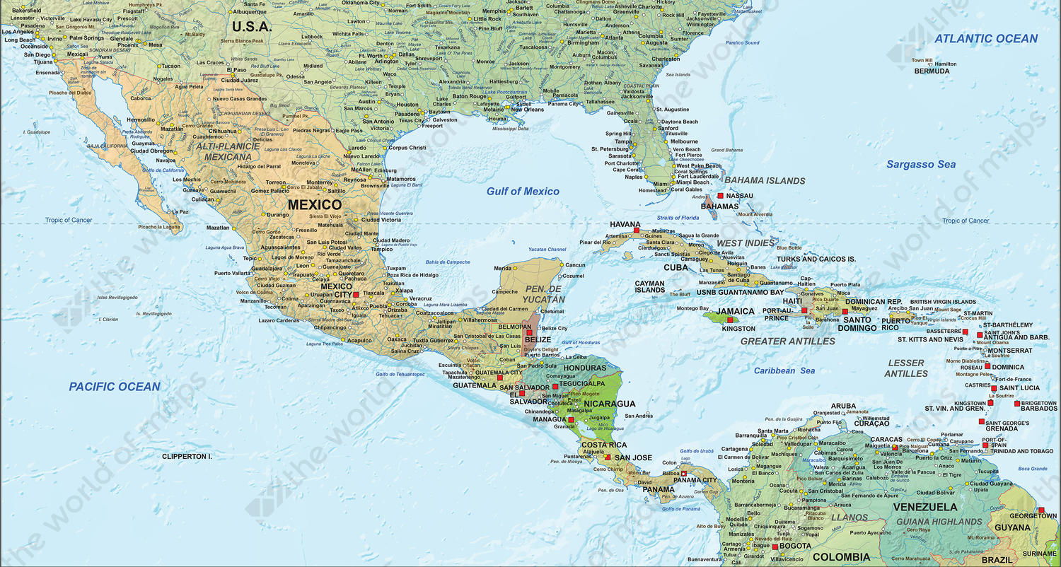
- Colourfully presenting all individual countries
- Shows the Tropic of Cancer
- Beautiful terrain shades
Additional information
A very detailed and comprehensive political map of Central Merica with terrain shades. The map has a beautiful colour combination, a contemporary look and is in English.
With countries, capital cities, larger and smaller cities, rivers, water bodies, main roads, mountain ranges, etc. The map contains many names as well.
There is a vector sample as well as a jpg sample downloadable. The vector sample is a default that shows the structure, layers and details of the file as provided. It does not display the exact image of the map itself.