Why to buy?
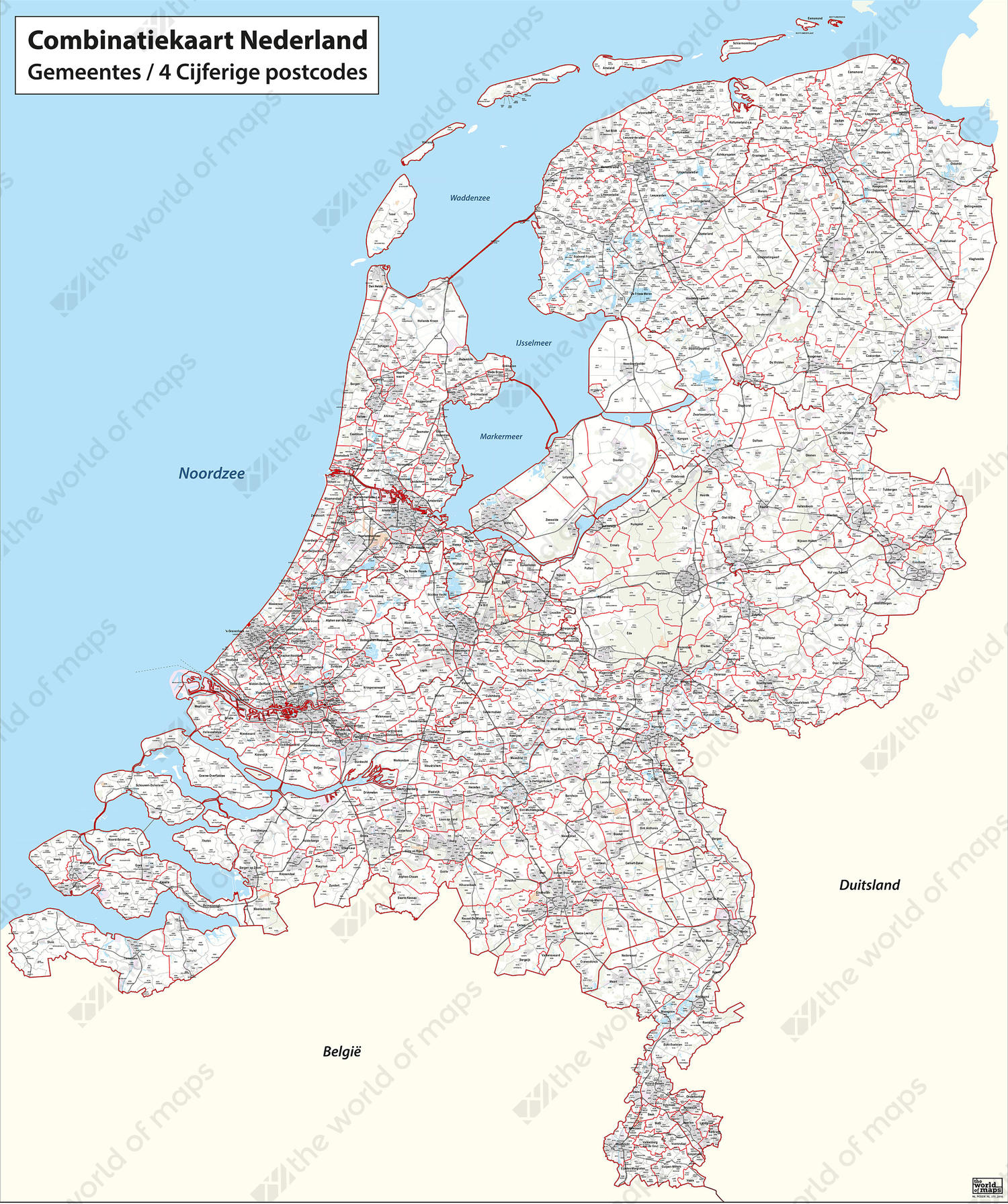
- Digital map with all municipalities and 4-digit zip codes
- The red contour lines indicate all the municipalities
- Each municipality is divided into 4-digit zip code areas through grey lines
Additional information
A very clear digital postcode map from the Netherlands. It displays all 4-digit zip-code areas and municipalities. The underlying surface of this map is depicted through very light colours and shows urban contours, (water) roads, forests, etc. This way the municipality and postcode areas are highlighted even better.
The map has been updated in 2016. The changes in 2016 are the joining of 'Edam-Volendam' and 'Zeevang' to the municipality of 'Edam-Volendam', and the merger of 'Muiden, Naarden and Bussum' to the municipality of 'De Gooise Meren'.