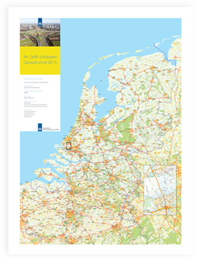
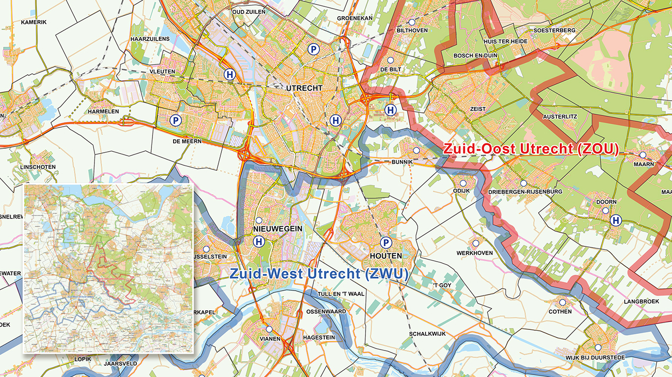
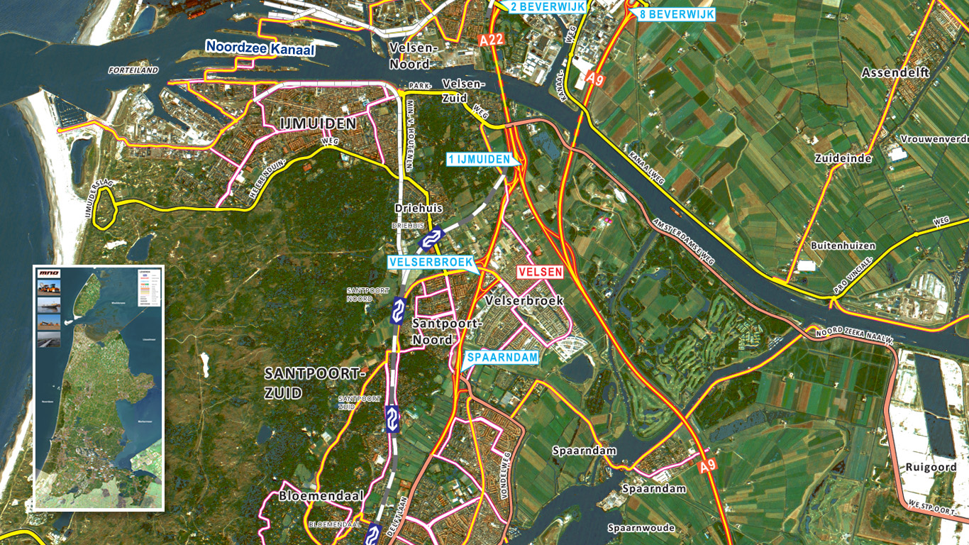
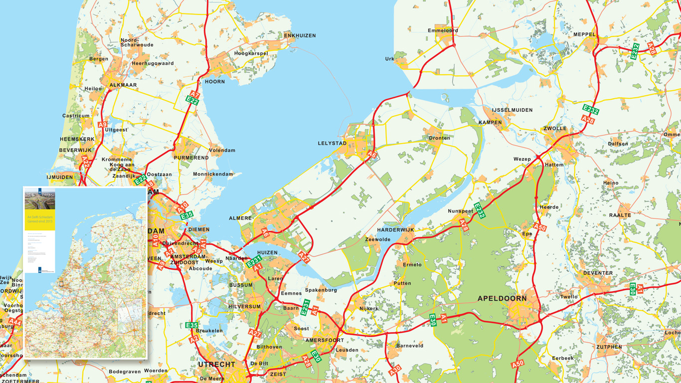
Road construction workers, house builders, energy companies and other companies that fall within this sector are known to purchase maps from us. We have created maps for the Dutch government, drawing in various construction maps, but also mapped out the network power lines for a leading energy company: RWE. In addition we have also developed maps where all types of projects can be seen.
"Cartography is able to provide extra insight into crucial areas of importance"
The maps we create for this sector are sometimes very complex, and often this information needs to be displayed with the utmost accuracy. Spatial form shifts along the cartographer's field and sometimes enters the area. A job that needs to be carried out with a fine eye for detail.
Energy made visible
The examples show, among others, the maps we have compiled for an energy company. We had to show all types of overhead pipes where the different voltages are conveyed by the power wires, these are given an instinctive, bright colour. Type maps within the sector of Construction & Engineering are route maps, location maps and zone maps.
A solution is always possible
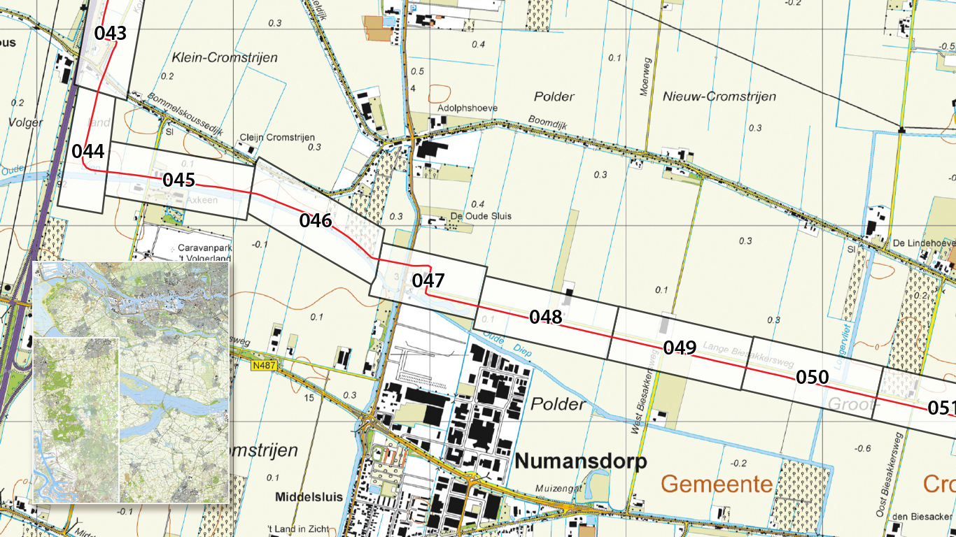
Another project currently in process is RAPL (Rotterdam-Antwerp Pipeline). The pipeline had to be manually added to an already existing topographical map. The difficulty is that the topographical maps of the Netherlands are made differently than those made in Belgium, therefore they do not connect correctly. We have worked in various tricks that meant to connect the maps together without losing the original essence.
Compiling a map?
When you are interested in creating a map, we will first establish which type of data is to be displayed most prominent. When this is clear we’ll create a map around this piece of data. The wishes and requests are taken into
account from the first sample map right up until the map has been completed. Once the map has been completed we will then proceed with the supply and delivery. We can export our maps to any number of file types.

