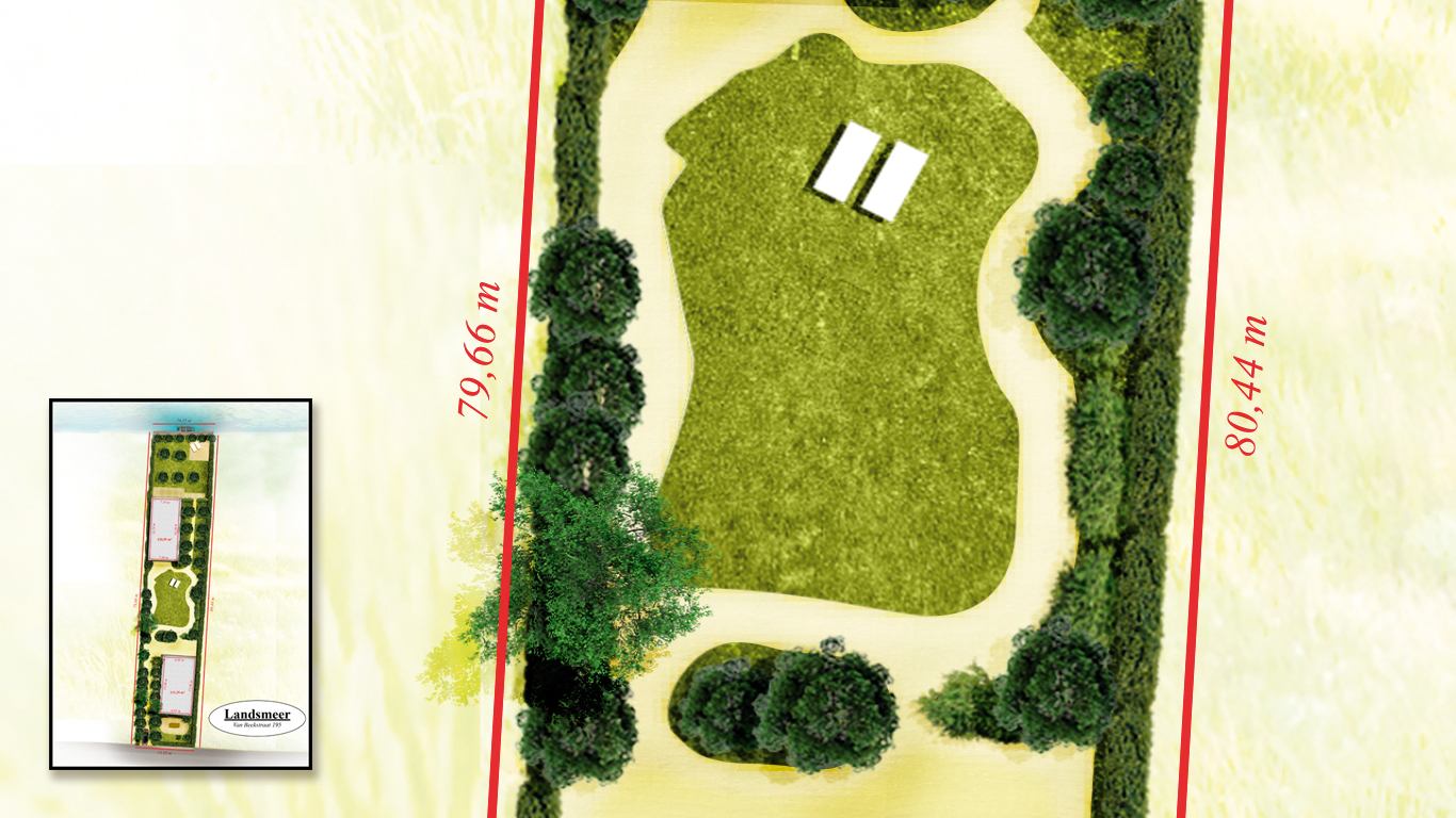
What can a map signify?
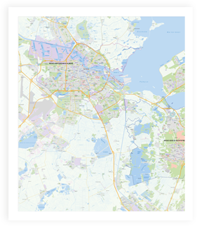
Despite all the new digital techniques, it is still useful to have property or a section of ground hanging on the wall. The power of a large physical map can still be of enormous value today. In a single glance it becomes clear what their responsibility is and what is not. In addition, such a map is also very useful in planning and overview. Our digital maps are capable of being enhanced to large formats.
"As variable as a piece of data, a map can adapt accordingly"
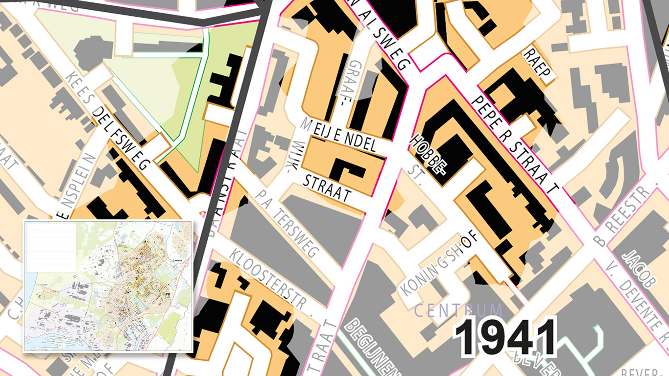
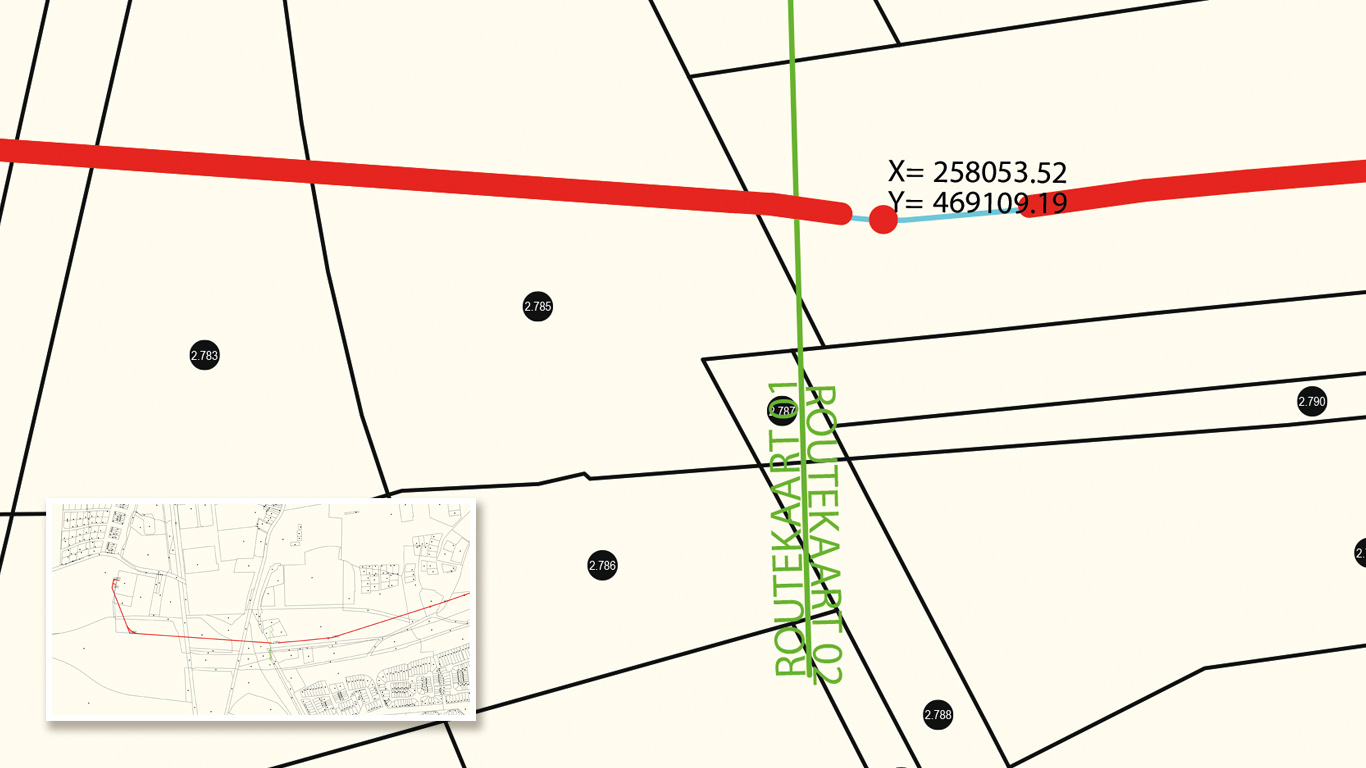
The maps we make for this sector are sometimes very complex, and often this information must be displayed extremely accurate. It also occurs that spatial design shifts through the field of the cartographer's. A job that needs to be carried out with a lot of attention to detail.
Detail can be achieved by zooming in onto a point of a map, by generating a very large map, or creating a map that doesn't go in either of those; a 3D visualisation. On demand we can visualize your map data into a 'sims-esque' kind of product. You may walk or float through the area by yourself. Whatever you need, we can almost guarantee we have a fitting solution.
The format sets the tone
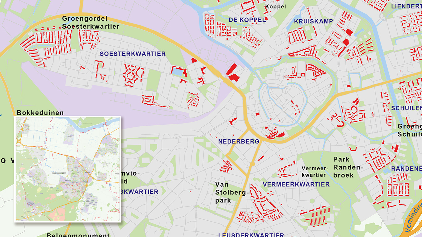
Maps that are shown with labelled real estate usually cover a slightly smaller area, because the corresponding texts of the different properties are otherwise unreadable and important details are unable to be placed. The size, detail and area of a map are closely linked. Ask us for advice based on the data required.
Scale in all different sizes
Data can be displayed on any scale. We can roughly show four different map types, but also four maps that differ widely in scale. It is possible for a single plot to be filled in.
Yet that same plot can also be pictured in a map showing a whole city or half a county. As the scale goes up, the detail goes down.

