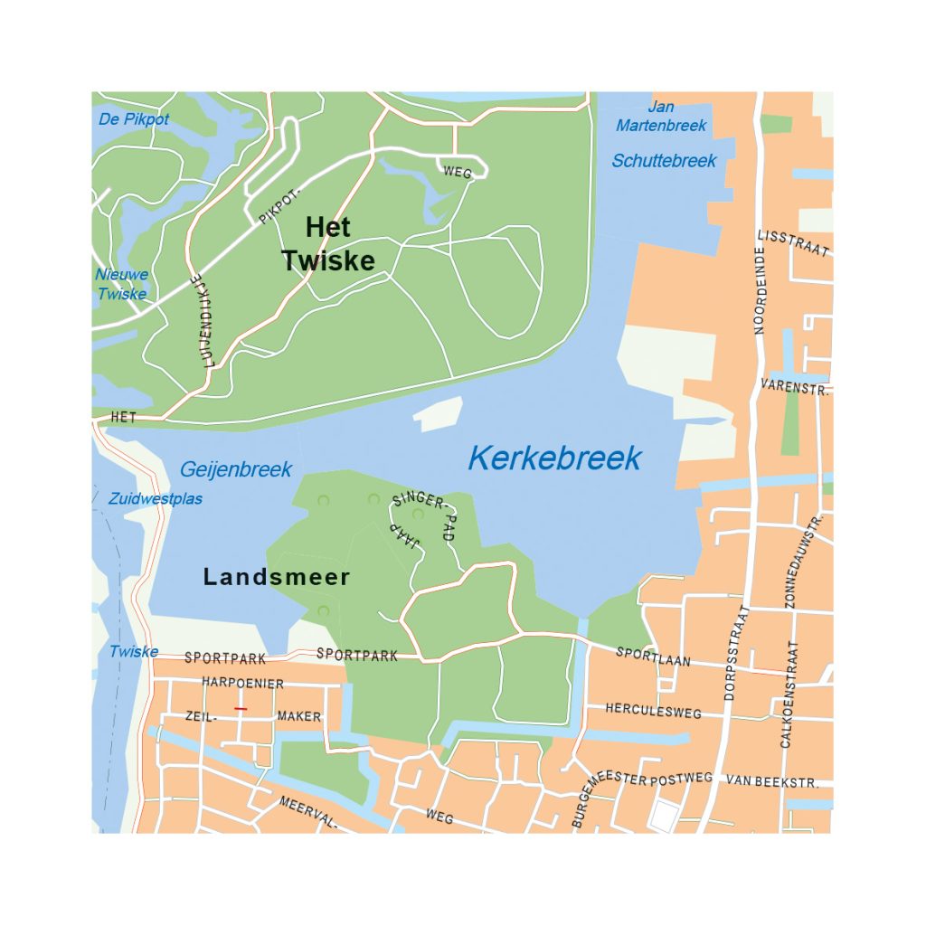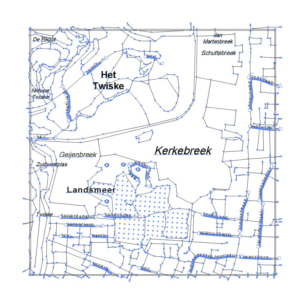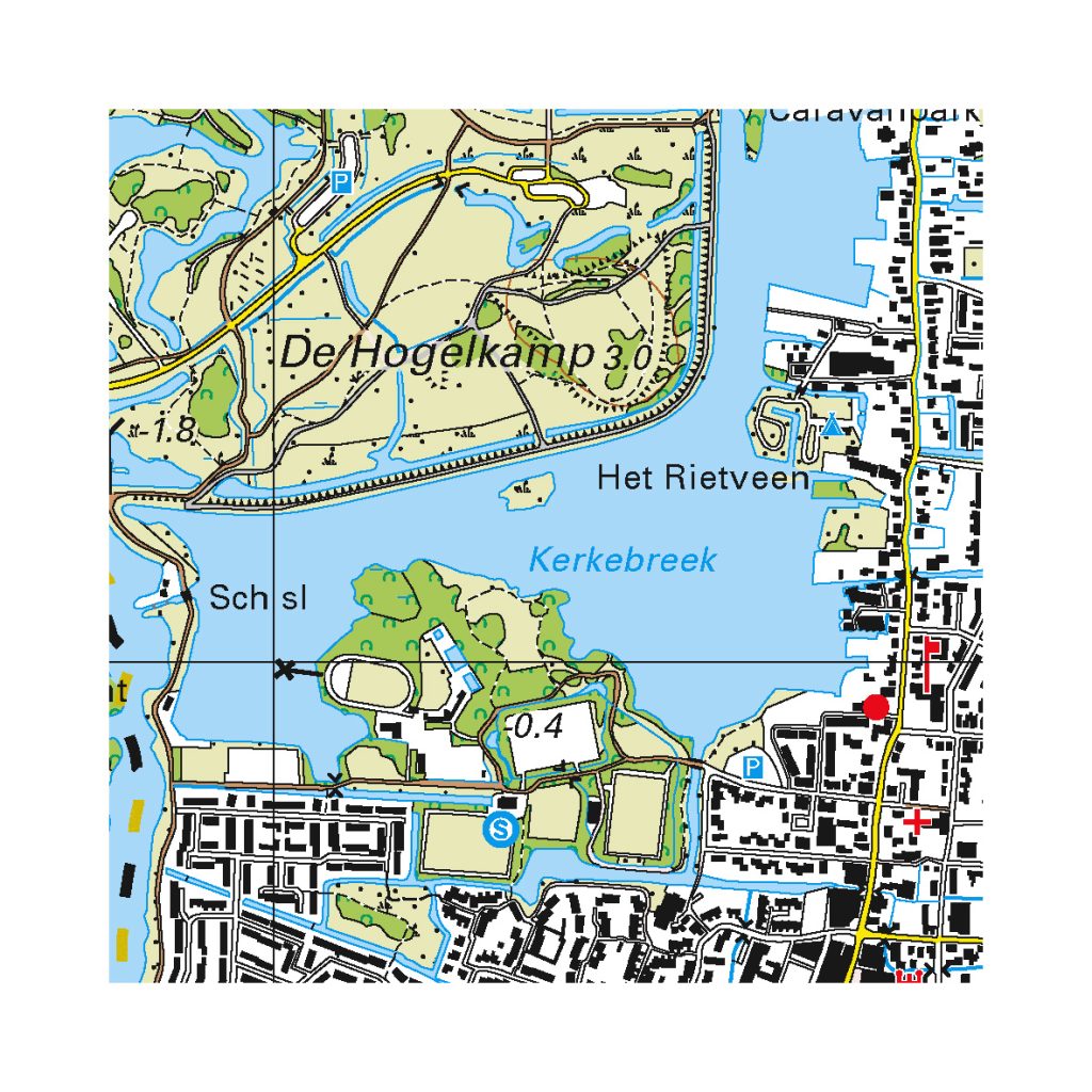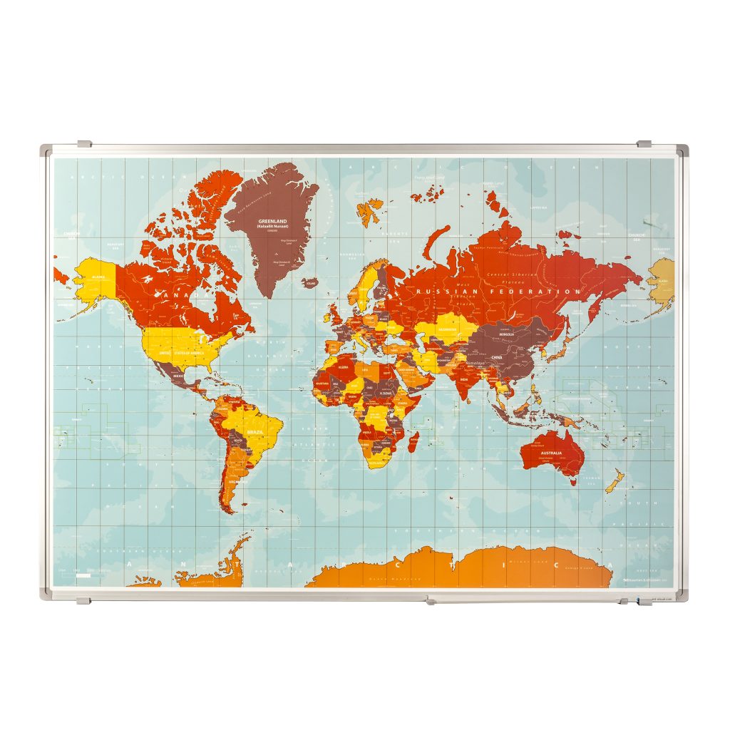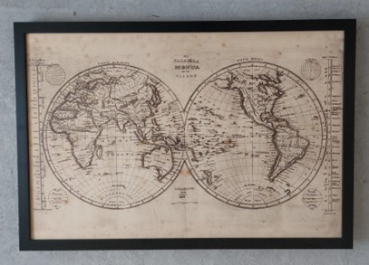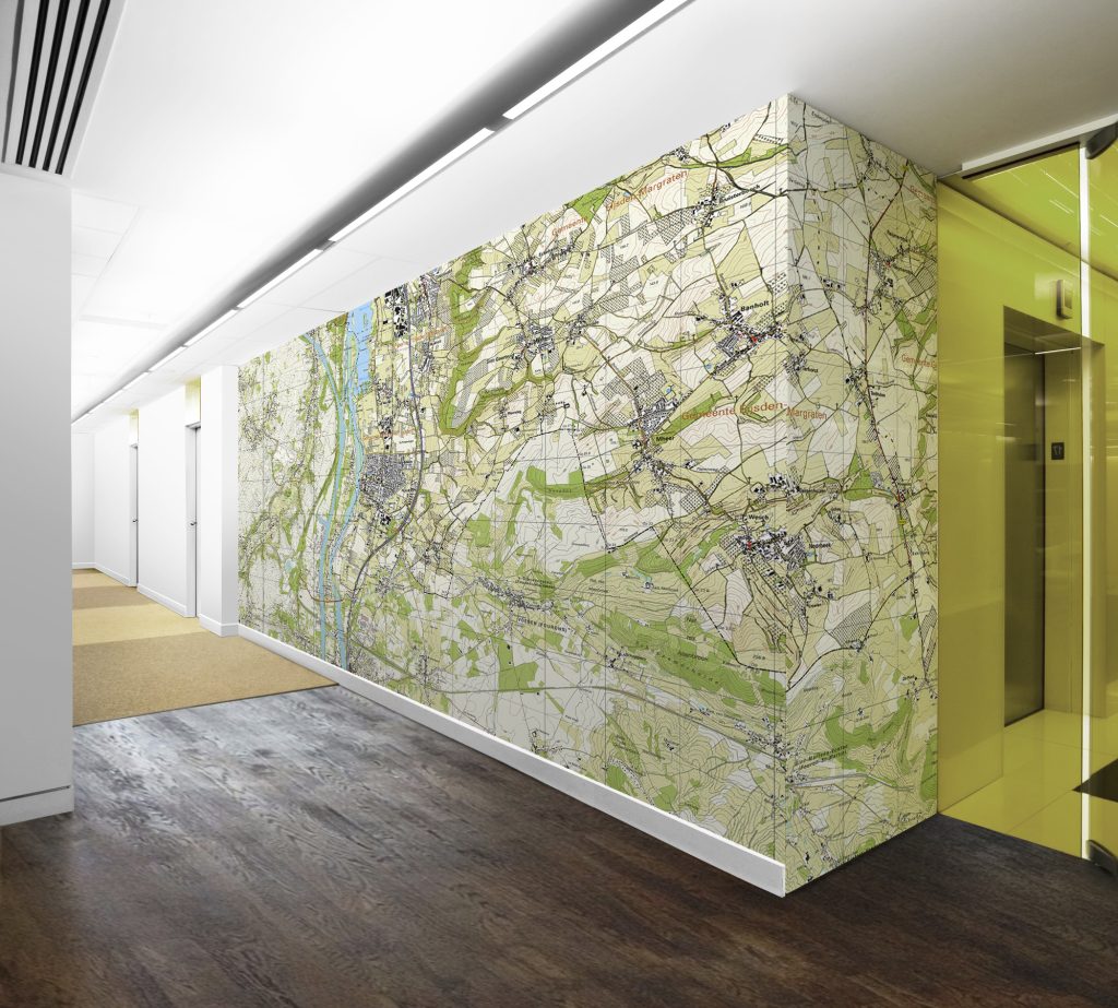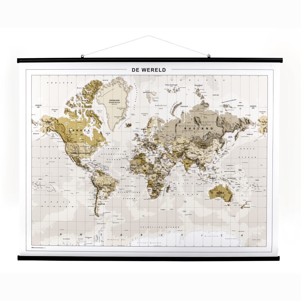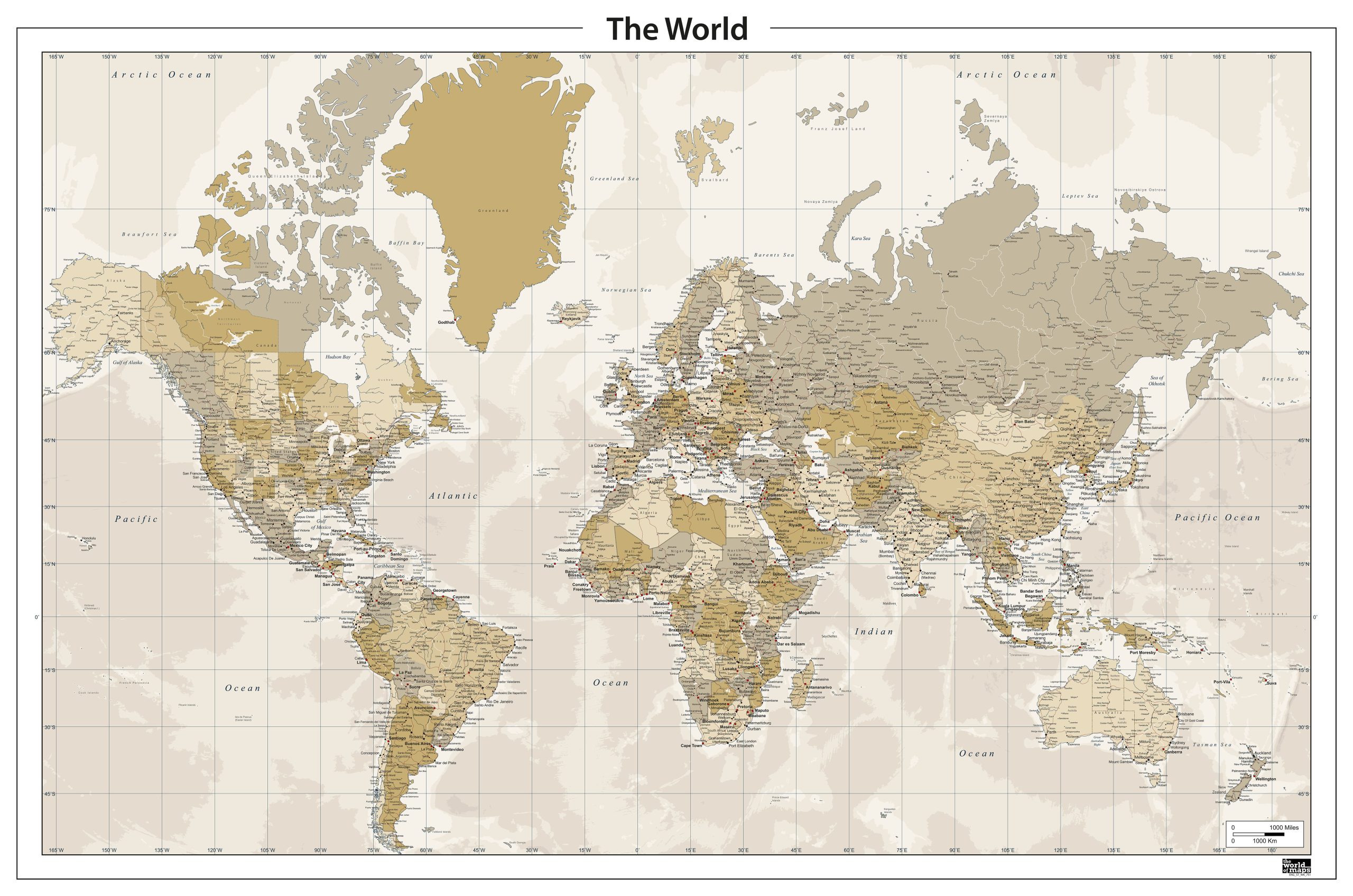
This digital vector map presents a political world layout in warm, nostalgic sepia tones. A large number of cities and place names are included, offering a detailed and structured overview suitable for professional use. Major roads and key transport routes are also shown, providing a clearer sense of global connections. Water bodies, islands and seas are fully represented and labelled, giving the map a complete geographic foundation. The digital vector map works well in both large-format designs and smaller digital applications, making it suitable for agencies, publishers and corporate teams.
Key Features
High-quality digital download (AI, EPS, SVG, PDF)
Fully editable vector layers
Detailed map with elevation / political borders
Professional color palette
Ideal for print and digital use
Scales without losing quality
Royalty-free use included (non-exclusive license)