High-quality vector downloads (EPS & JPG) for professional use
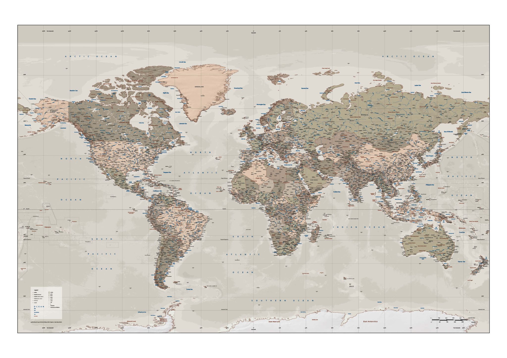
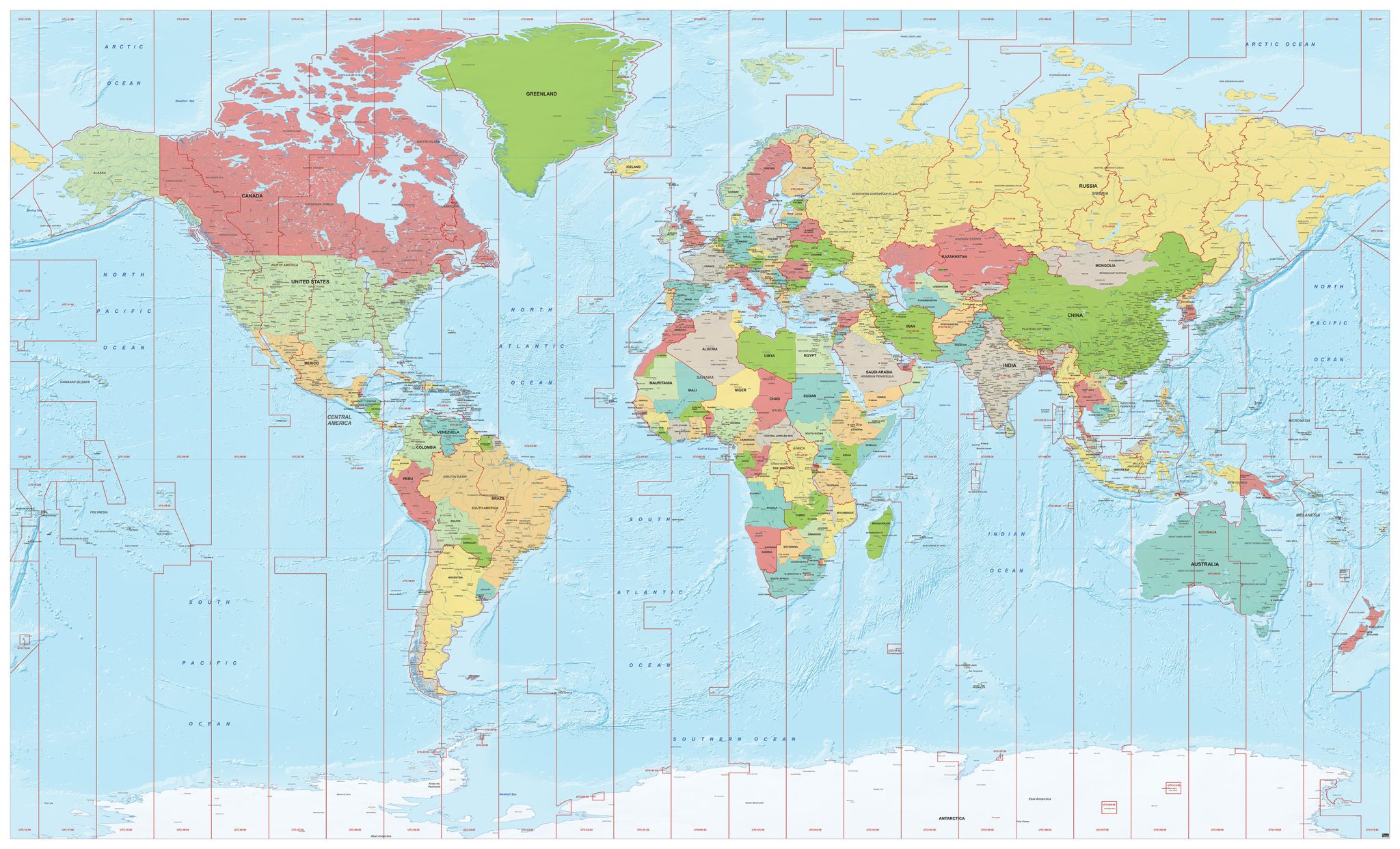
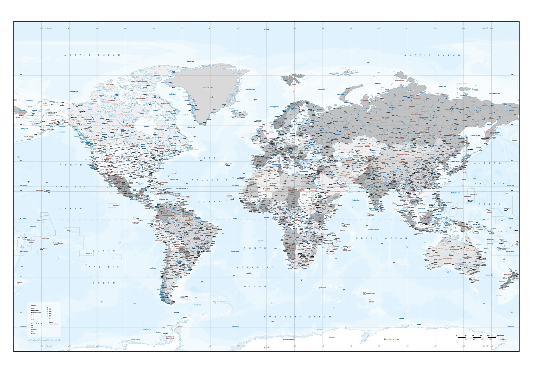
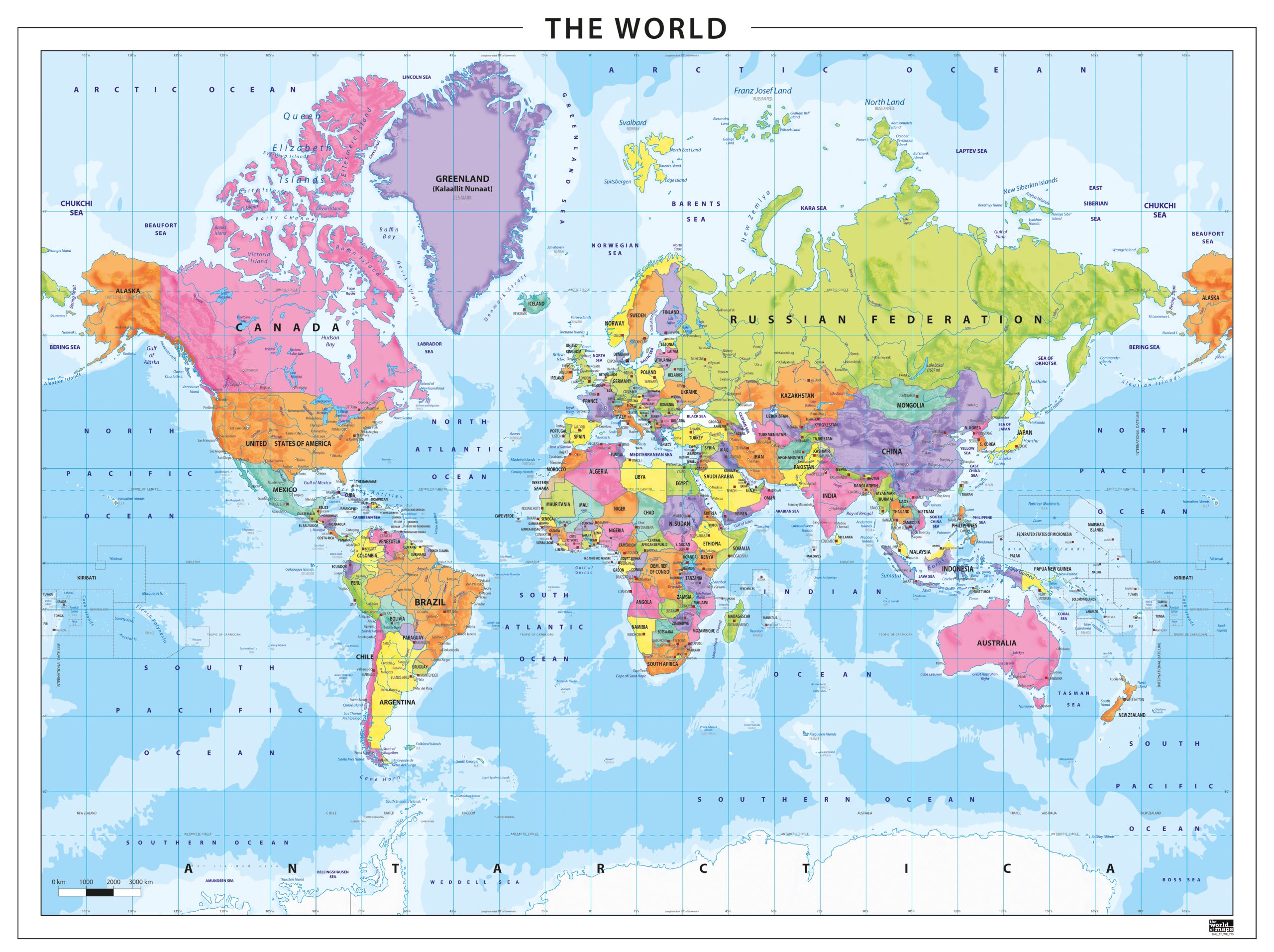
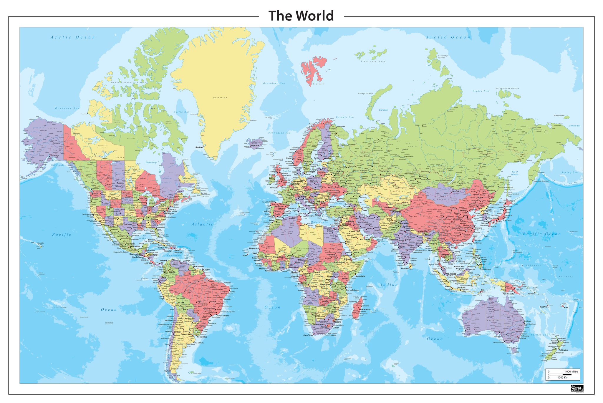
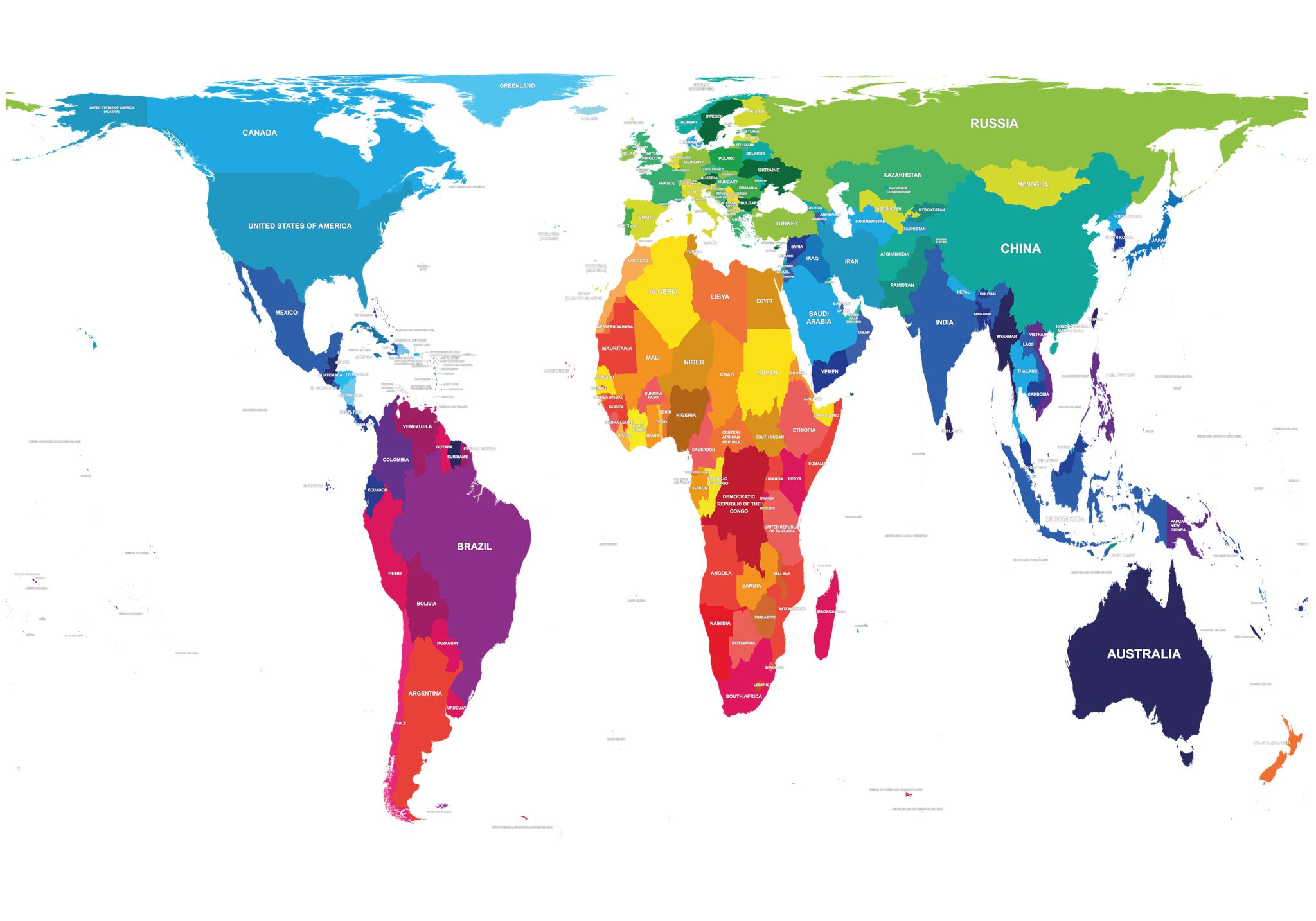
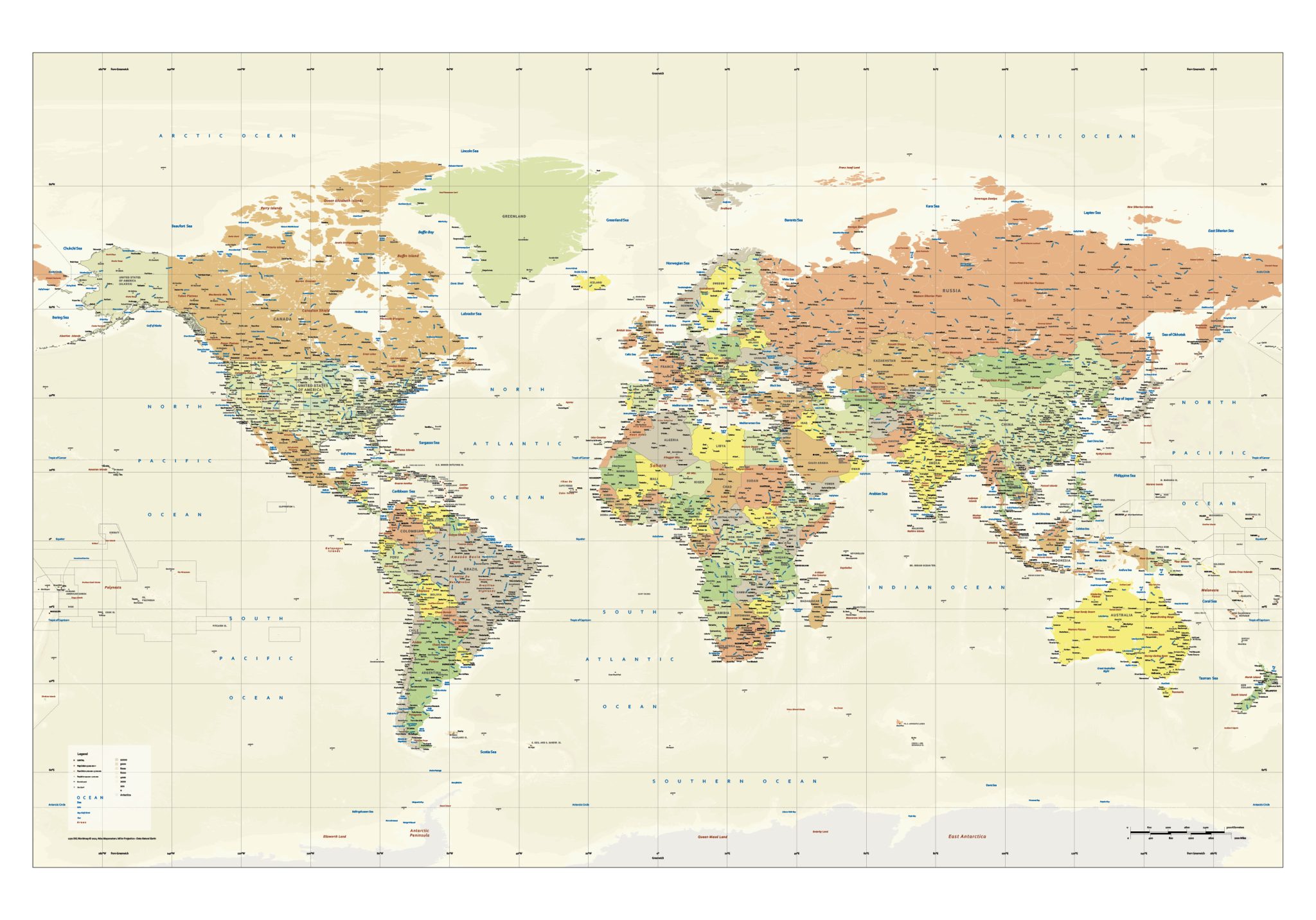
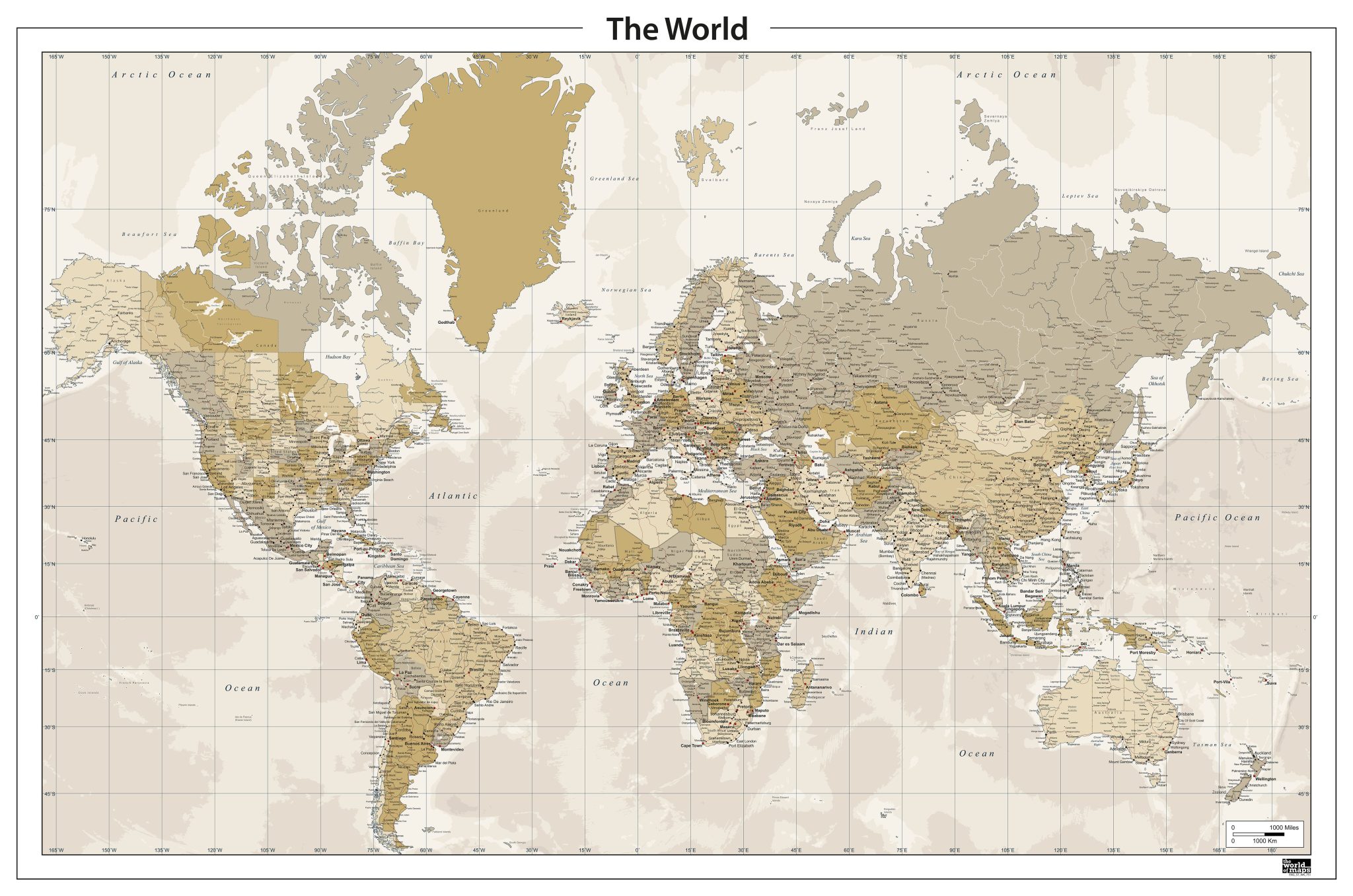
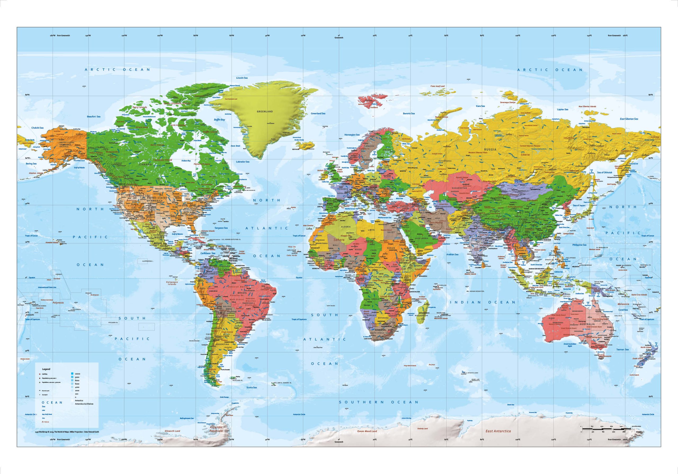
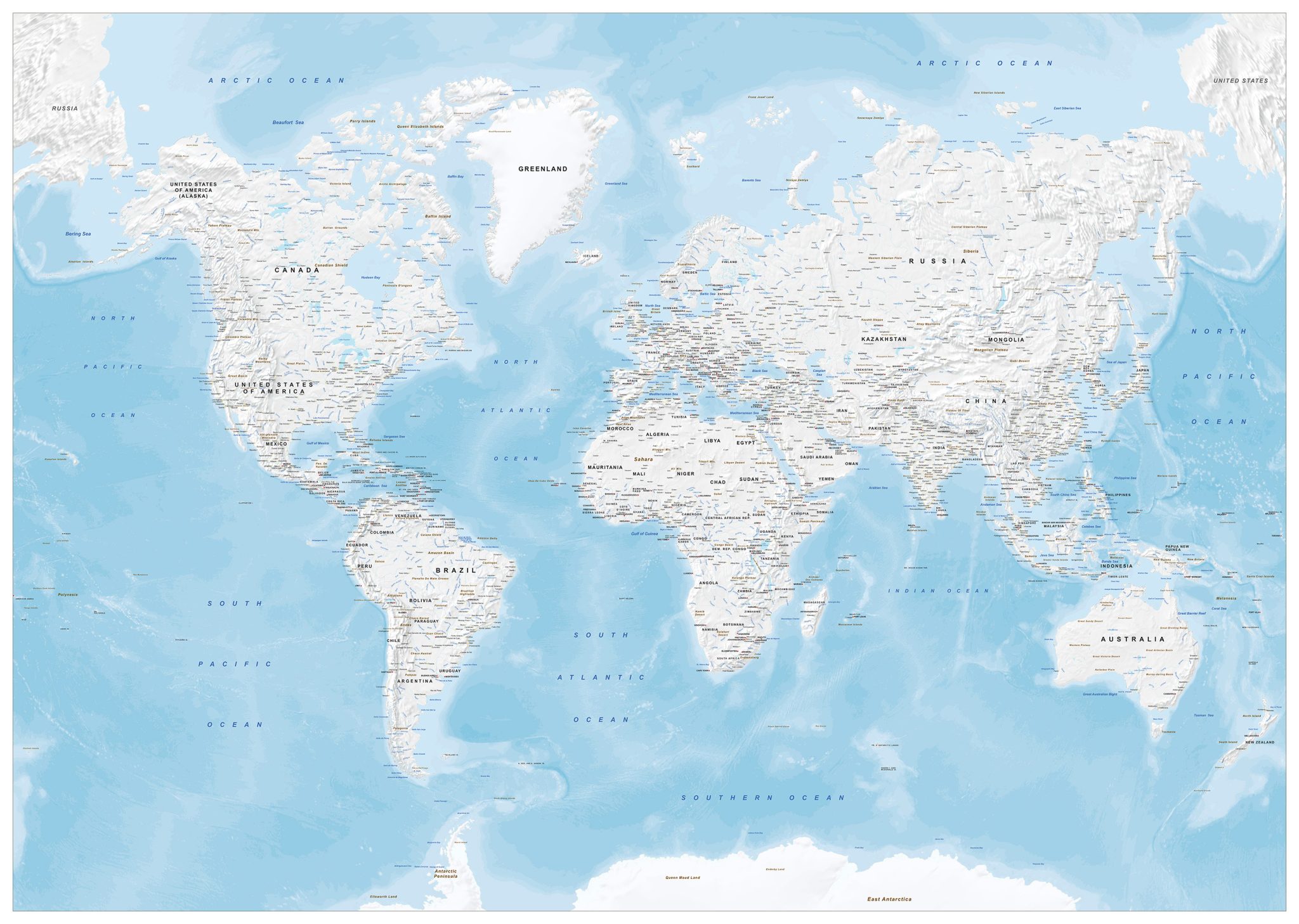
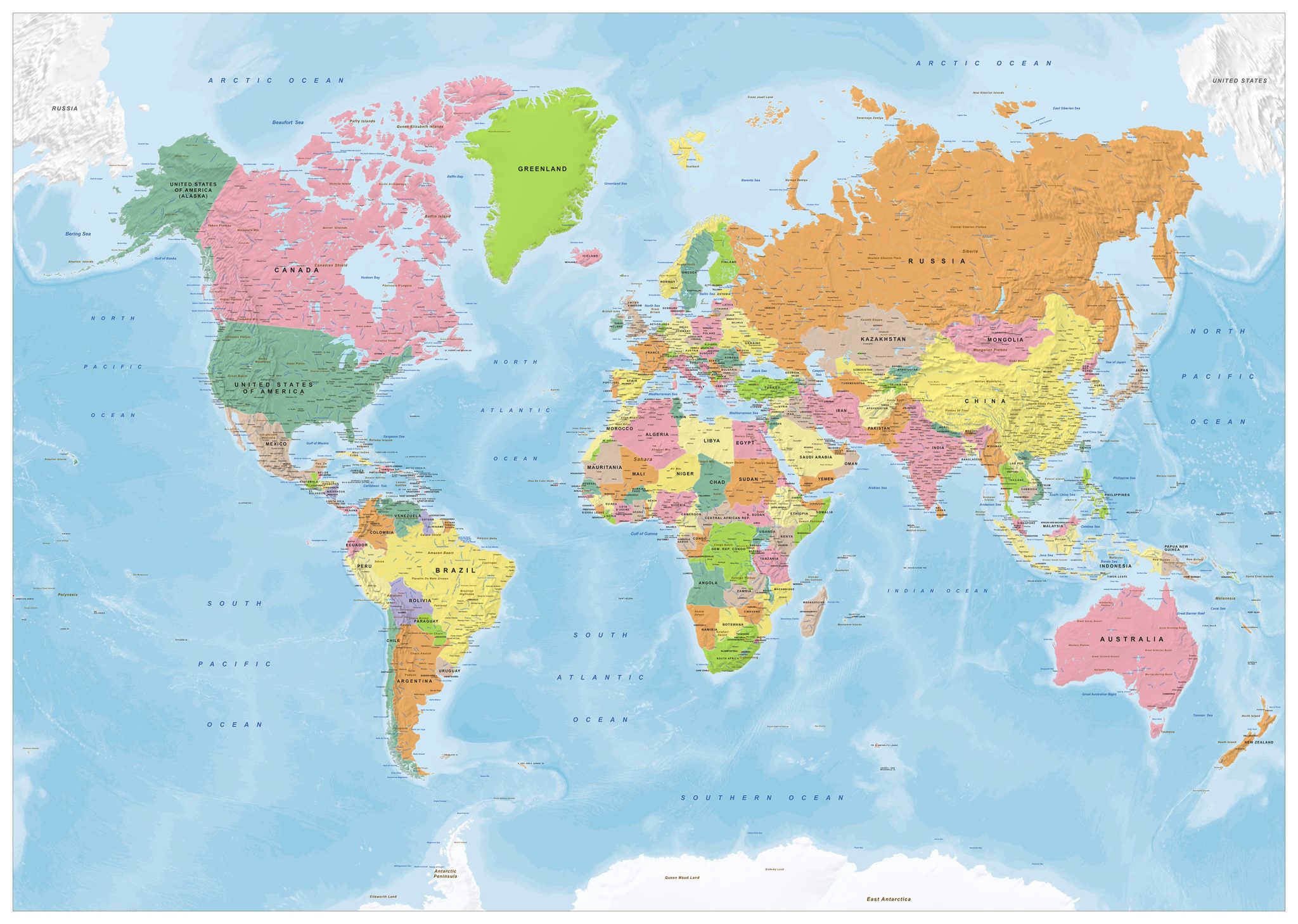
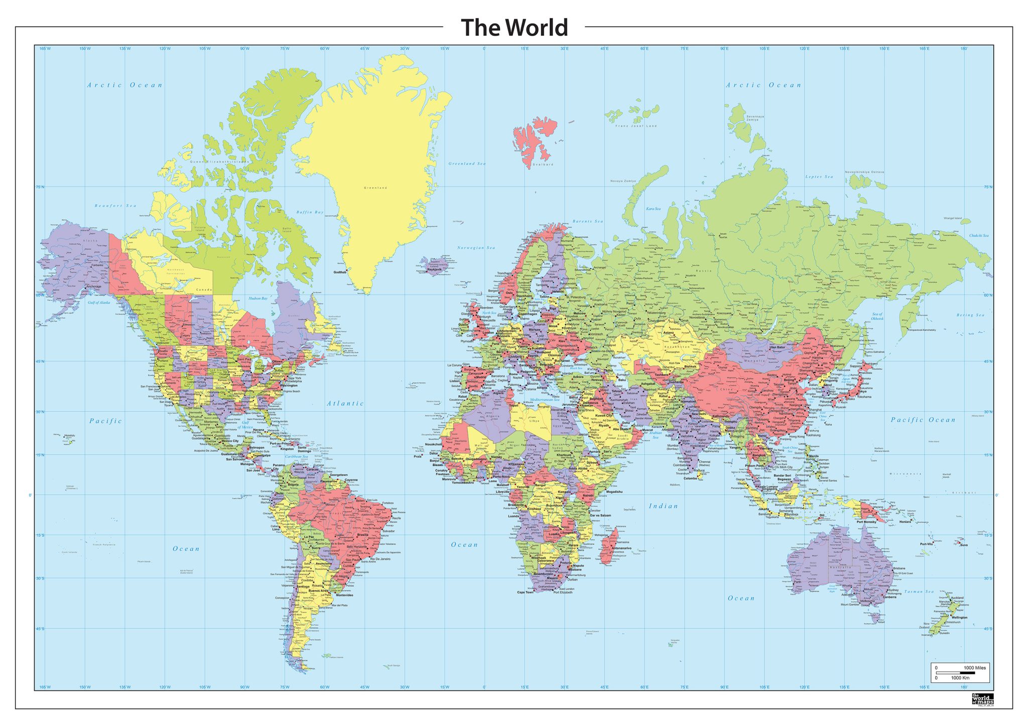
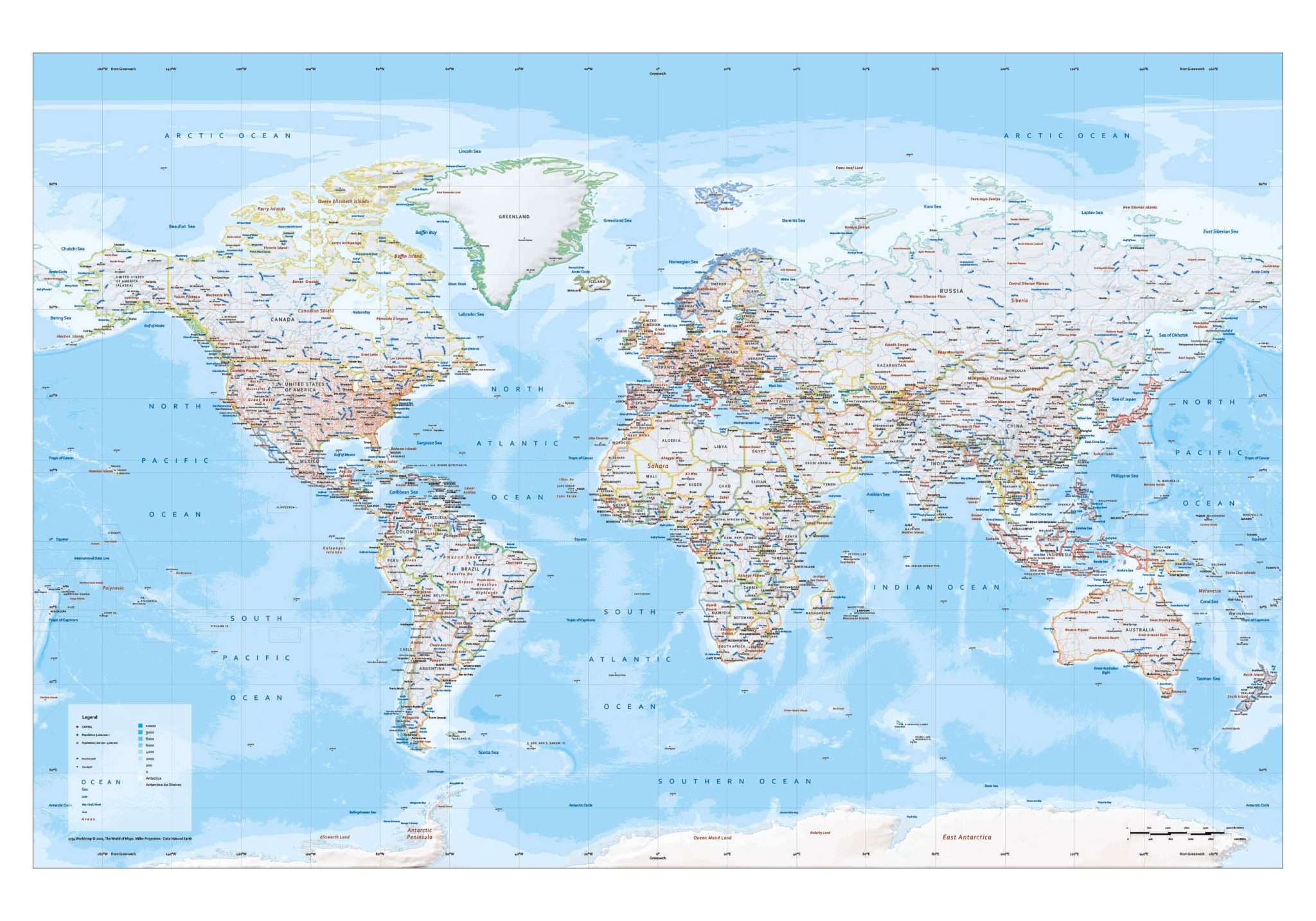
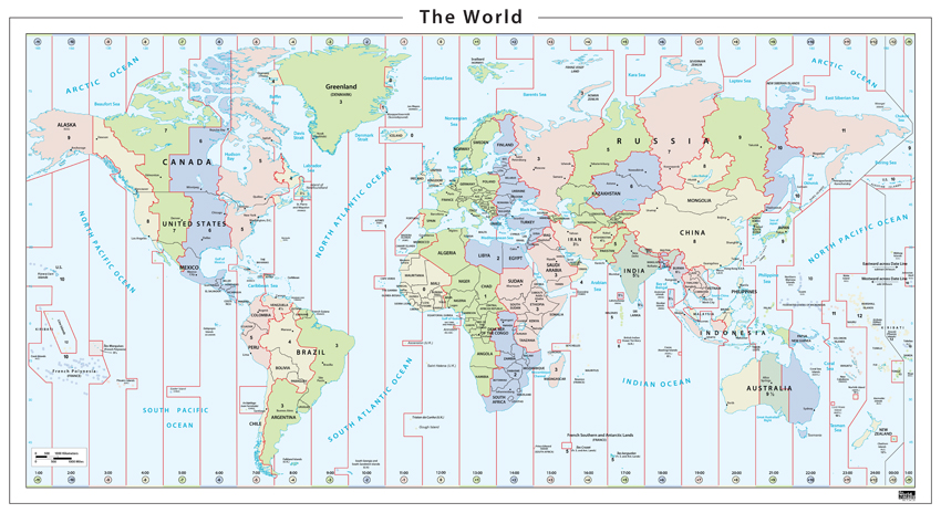
Our political world maps show the division of countries, regions and states across the globe with exceptional clarity. Some editions offer a simple and easy-to-read layout, while others provide a high level of detail with additional information about cities, regions and geographic boundaries.
Available in various visual styles—from neutral tones to vivid colours—each map is designed to present borders and country names in a clear and accessible way. Many editions are also available in extra-large formats, ideal for projects that require a high-resolution world map.
All maps are offered as high-quality EPS & JPG vector downloads, suitable for print, design, publishing and educational use.
A political world map shows the division of countries, regions and territories across the globe. These maps focus on borders, country names, capitals and major cities, making them ideal for education, presentations, publishing and reference use.
Our political world maps are available in multiple sizes, colour styles and detail levels, and each edition is provided as a high-quality EPS & JPG vector download, suitable for professional design and print work.
Why Choose The World of Maps
✔ High-quality editable vector files (EPS & JPG)
✔ Suitable for design, print, publishing and education
✔ Multiple projections and visual styles available
✔ More than 30 years of cartographic expertise
✔ Fast, reliable and professional downloads
Need a Custom Political World Map?
If you need a customised version, different colours, languages, labels or layout; we can create a tailored map based on your requirements.