High-quality vector downloads (EPS & JPG) for professional use
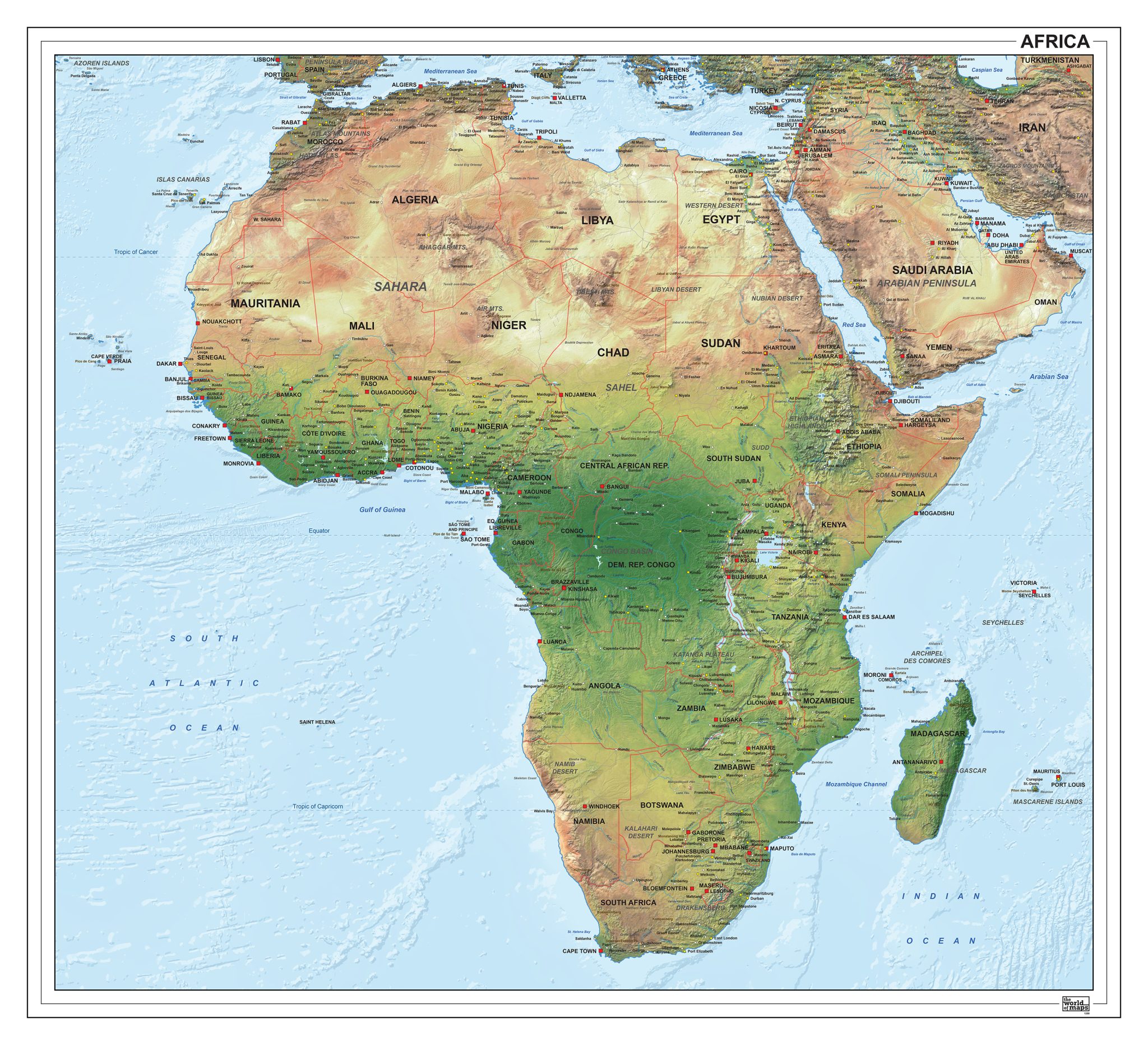
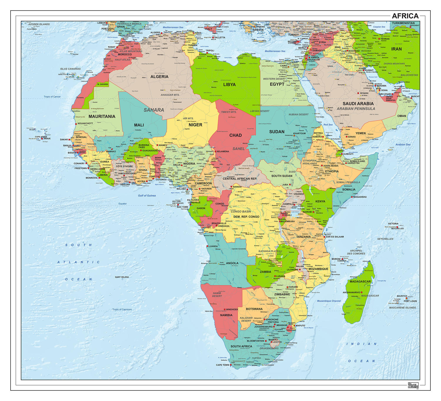
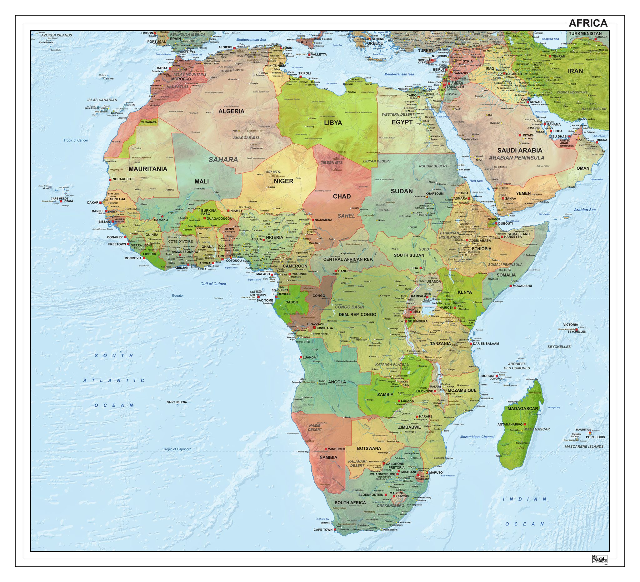
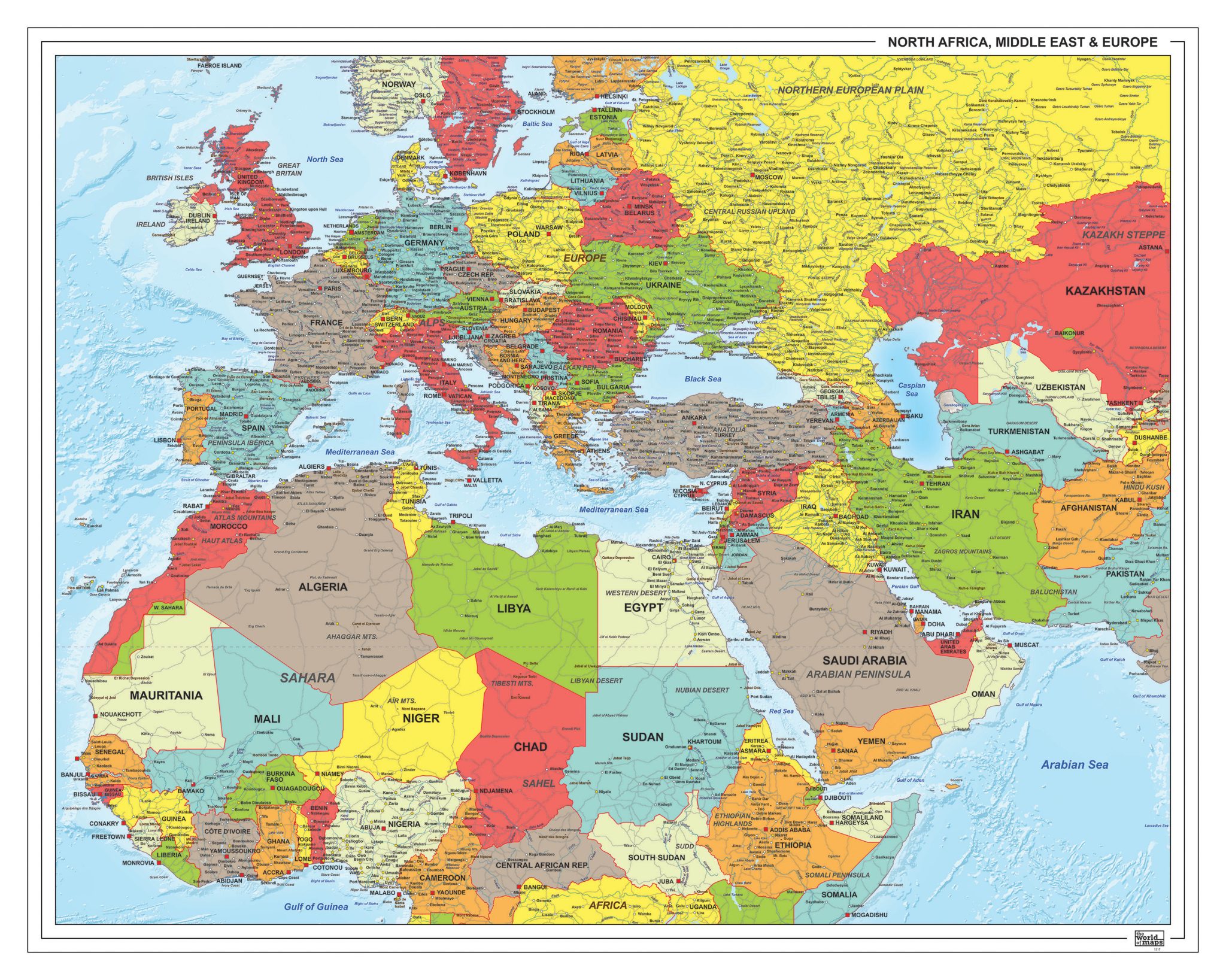
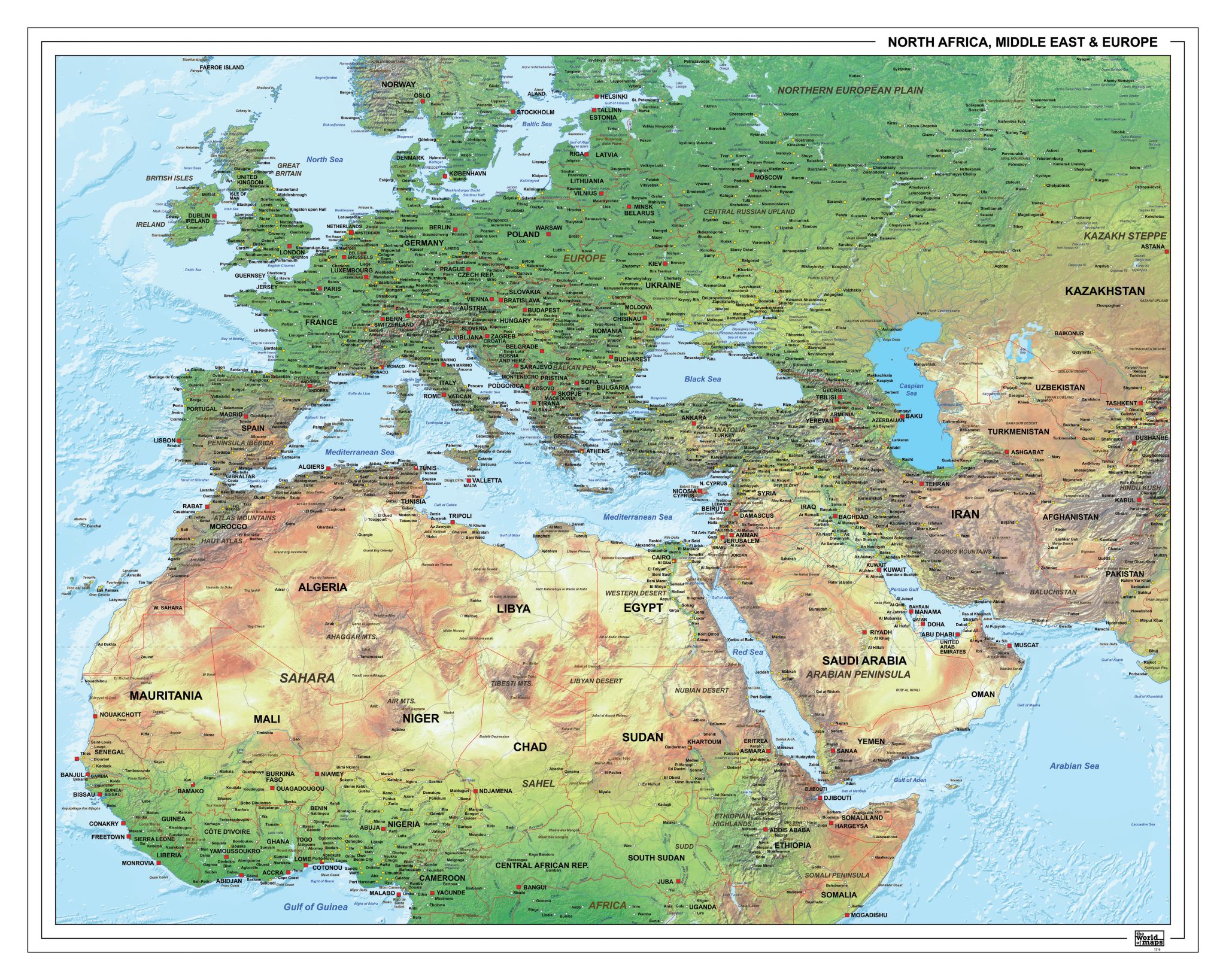
This section features a broad selection of maps of Africa in both political and physical styles. Political maps focus on countries, borders and administrative divisions, while physical maps highlight terrain, river systems and major landscape features.
The collection includes clear, simplified overviews as well as more elaborate maps with a high level of geographic detail. This variety makes it easy to choose a map that suits different visual preferences and levels of information, whether the emphasis is on boundaries, natural features or overall continental structure.
Suitable for education, publishing, design and research
Available in various styles: detailed, pastel, modern, scientific
More than 30 years of experience in cartographic production
Custom modifications available
Need a Custom Map?
If you need a map with specific colours, labels, languages or custom details, feel free to contact us at info@theworldofmaps.com — we’re happy to help.