- Delivered as EPS & JPG
- High-quality downloads
- Over 30 years of experience
✅ Diverse formaten
✅ Niet goed, geld terug
✅ Meer dan 30 jaar ervaring
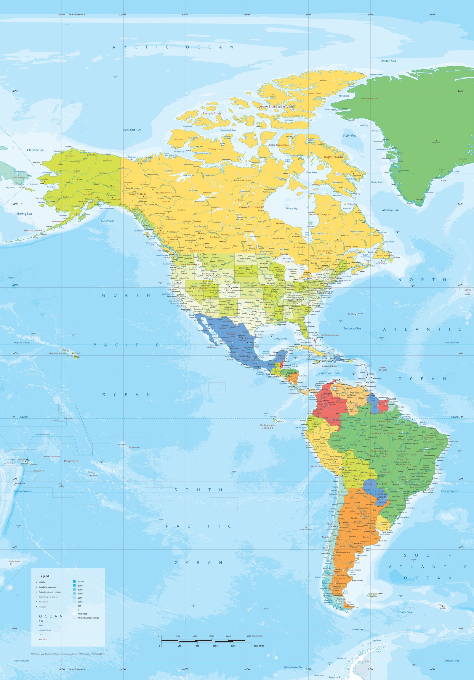
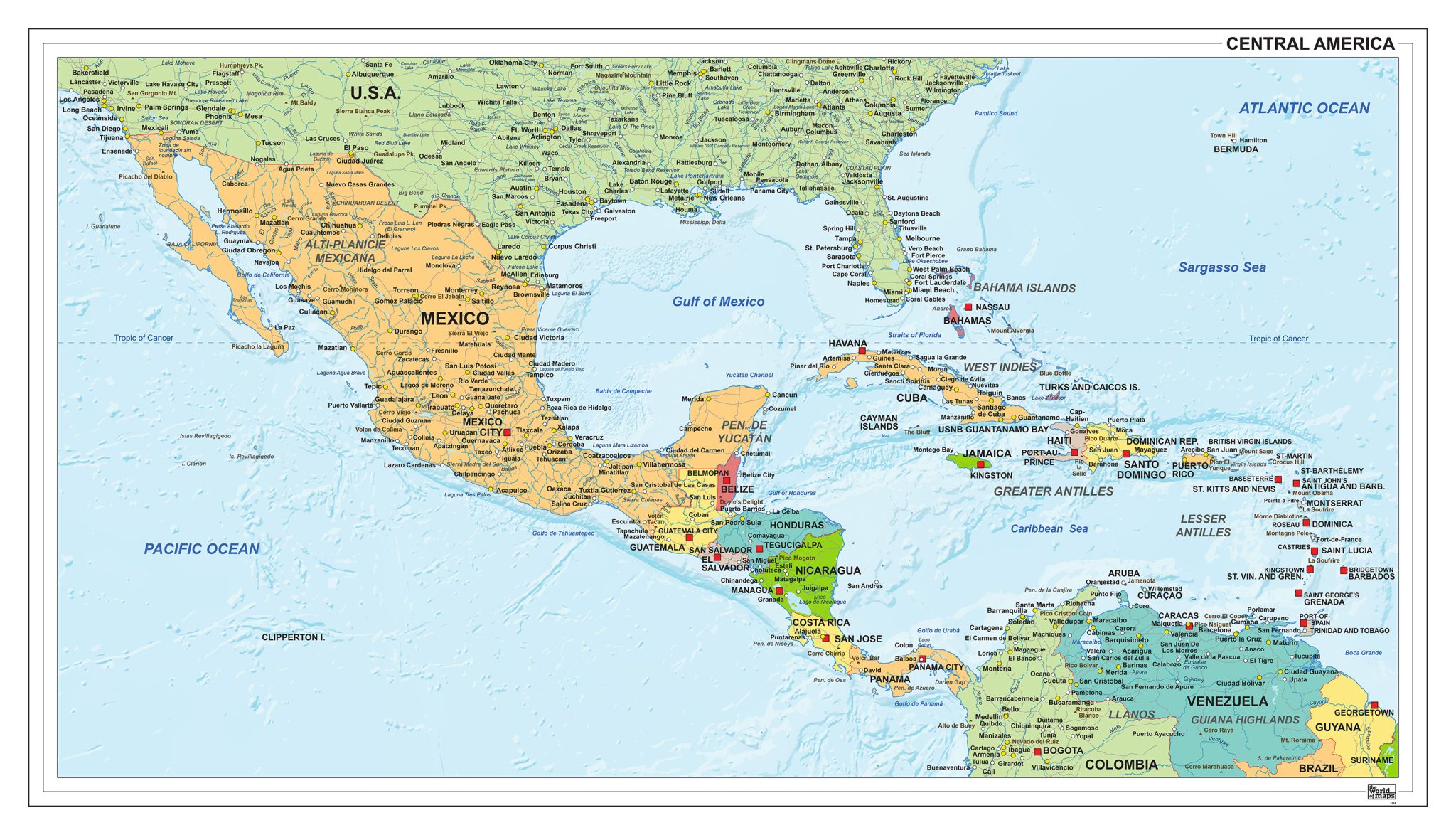
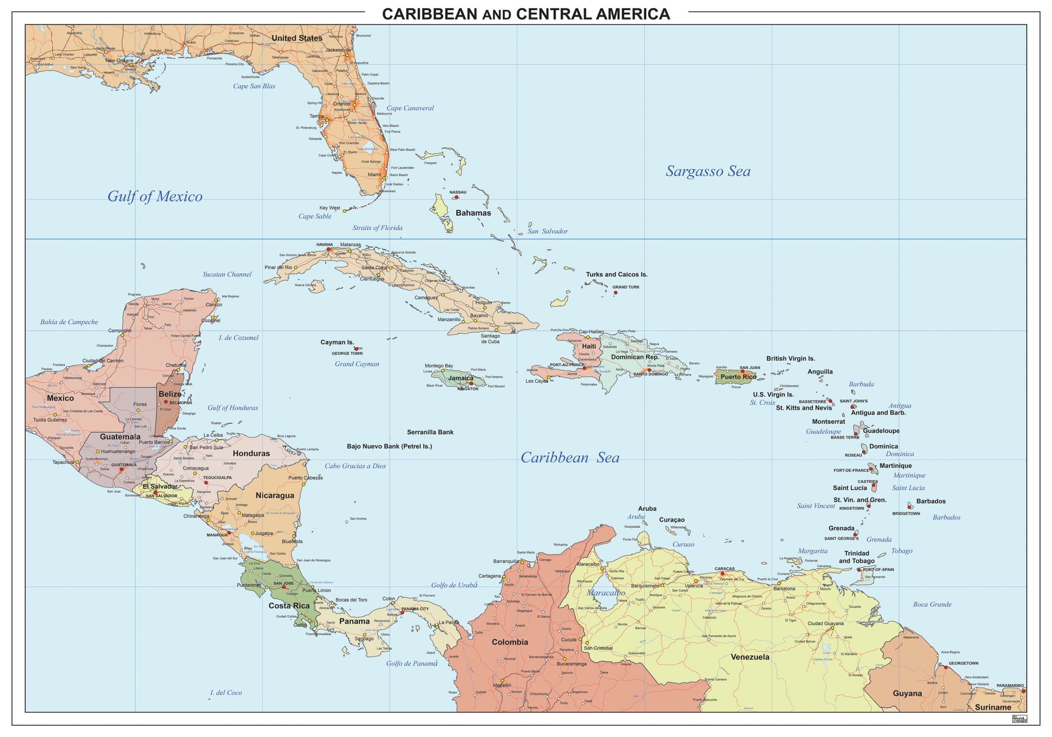
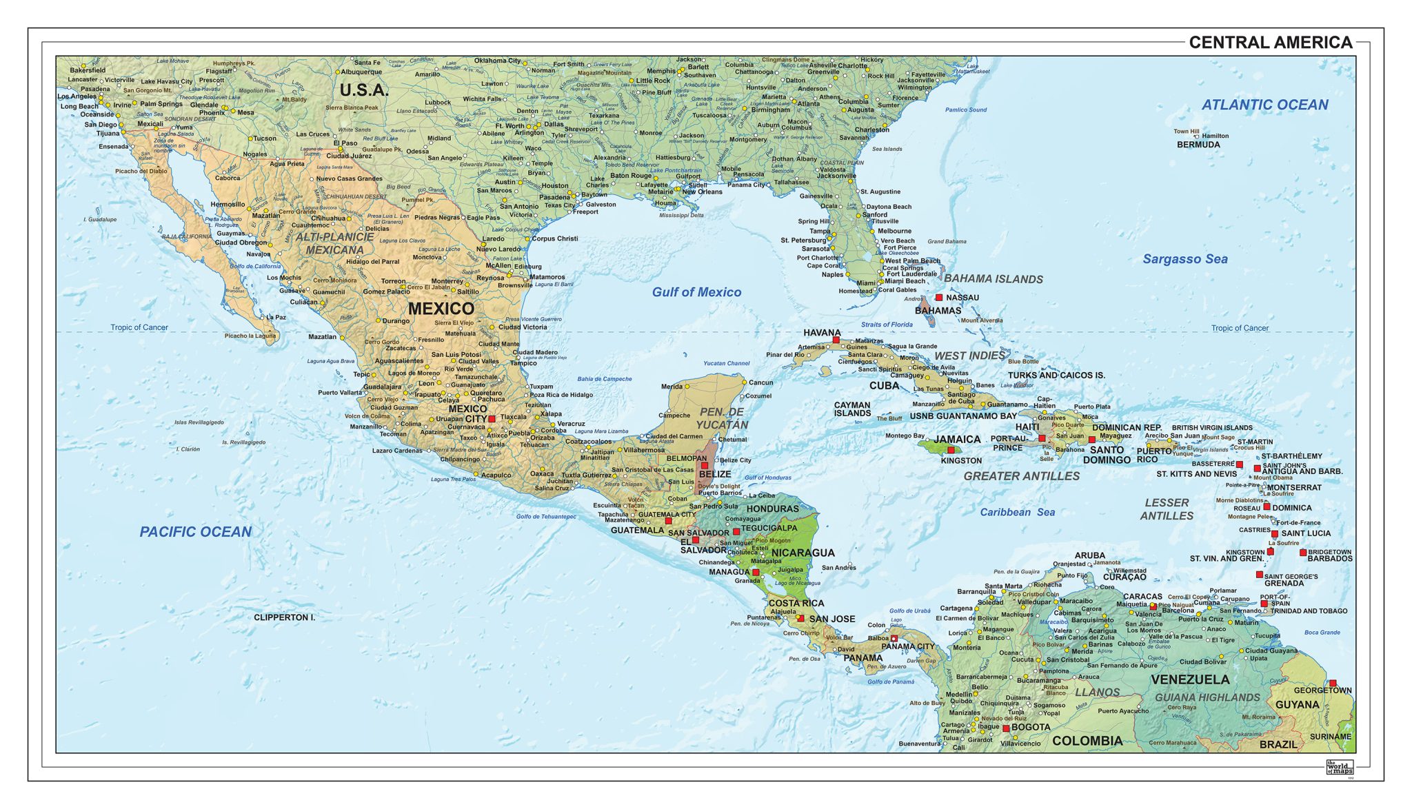
This category presents a varied selection of maps covering Central America, including both the Central American mainland and the Caribbean region. The collection features political maps showing countries, borders and islands, as well as physical maps that emphasise terrain, coastlines and geographic structure.
Some maps provide a complete regional overview, while others focus more closely on individual countries or island groups. A range of visual styles and layouts is available, allowing for different levels of detail and presentation depending on the map’s purpose.
Professional, high-resolution vector files (EPS & JPG)
Accurate cartography across multiple projections
Suitable for education, publishing, design and research
Available in various styles: detailed, pastel, modern, scientific
More than 30 years of experience in cartographic production
Custom modifications available
If you need a map with specific colours, labels, languages or custom details, feel free to contact us at info@theworldofmaps.com — we’re happy to help.