High-quality vector downloads (EPS & JPG) for professional use
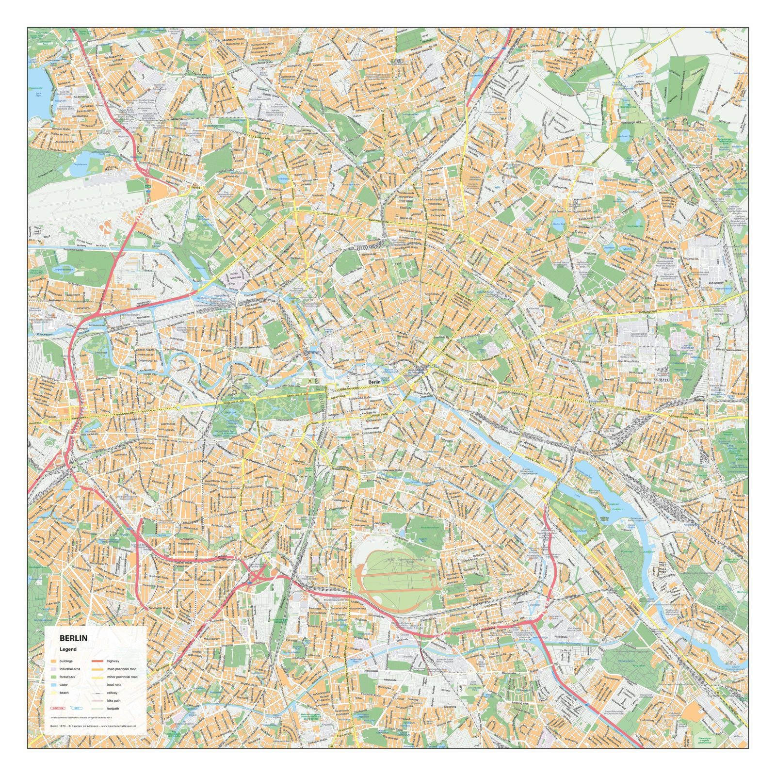
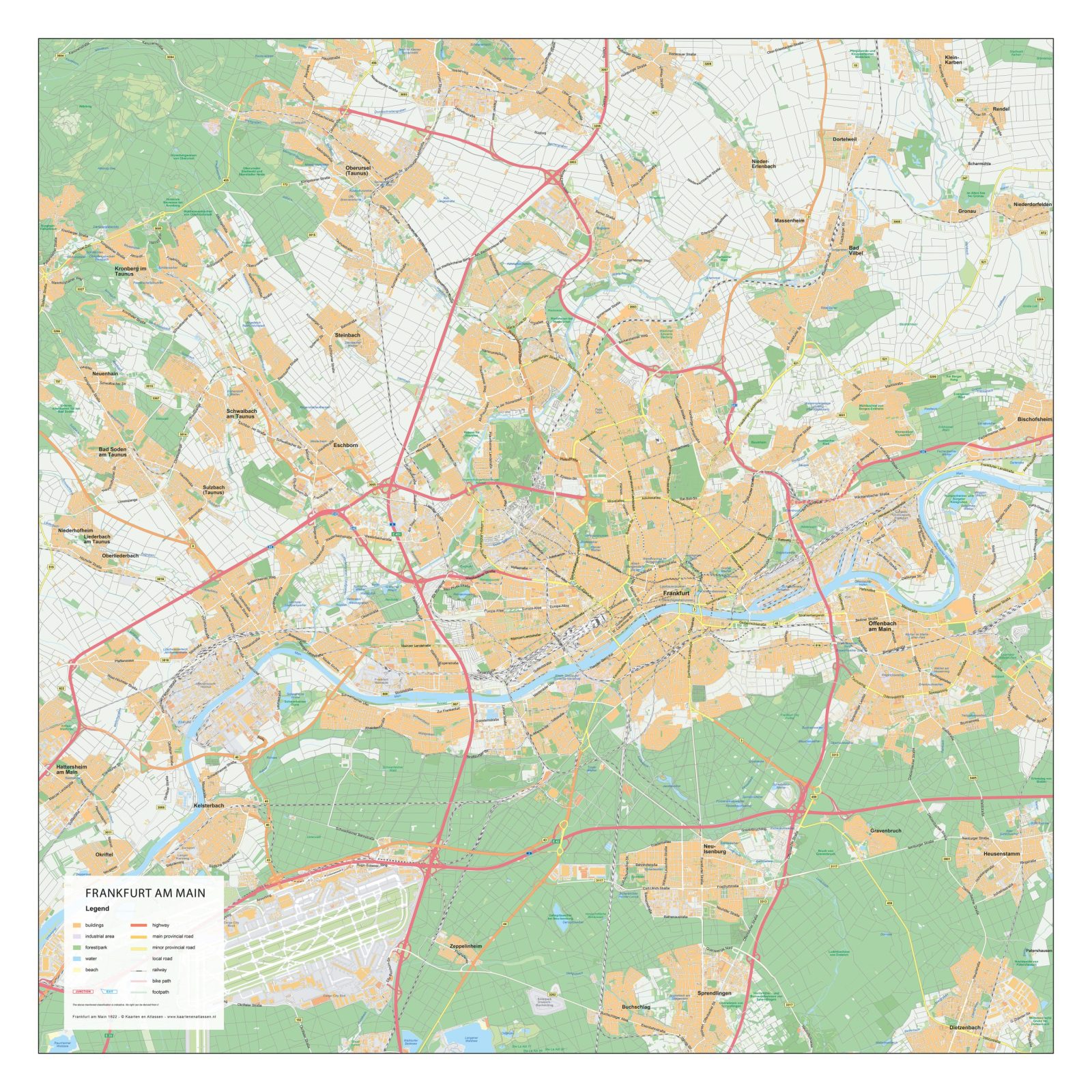
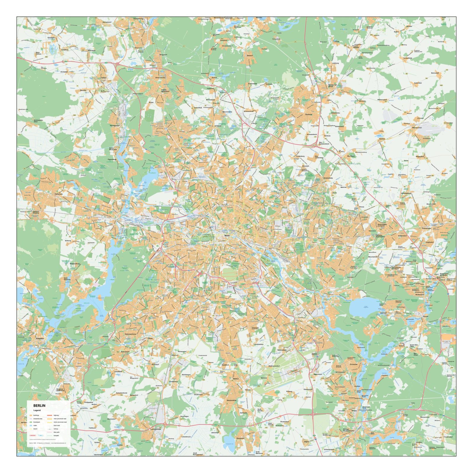
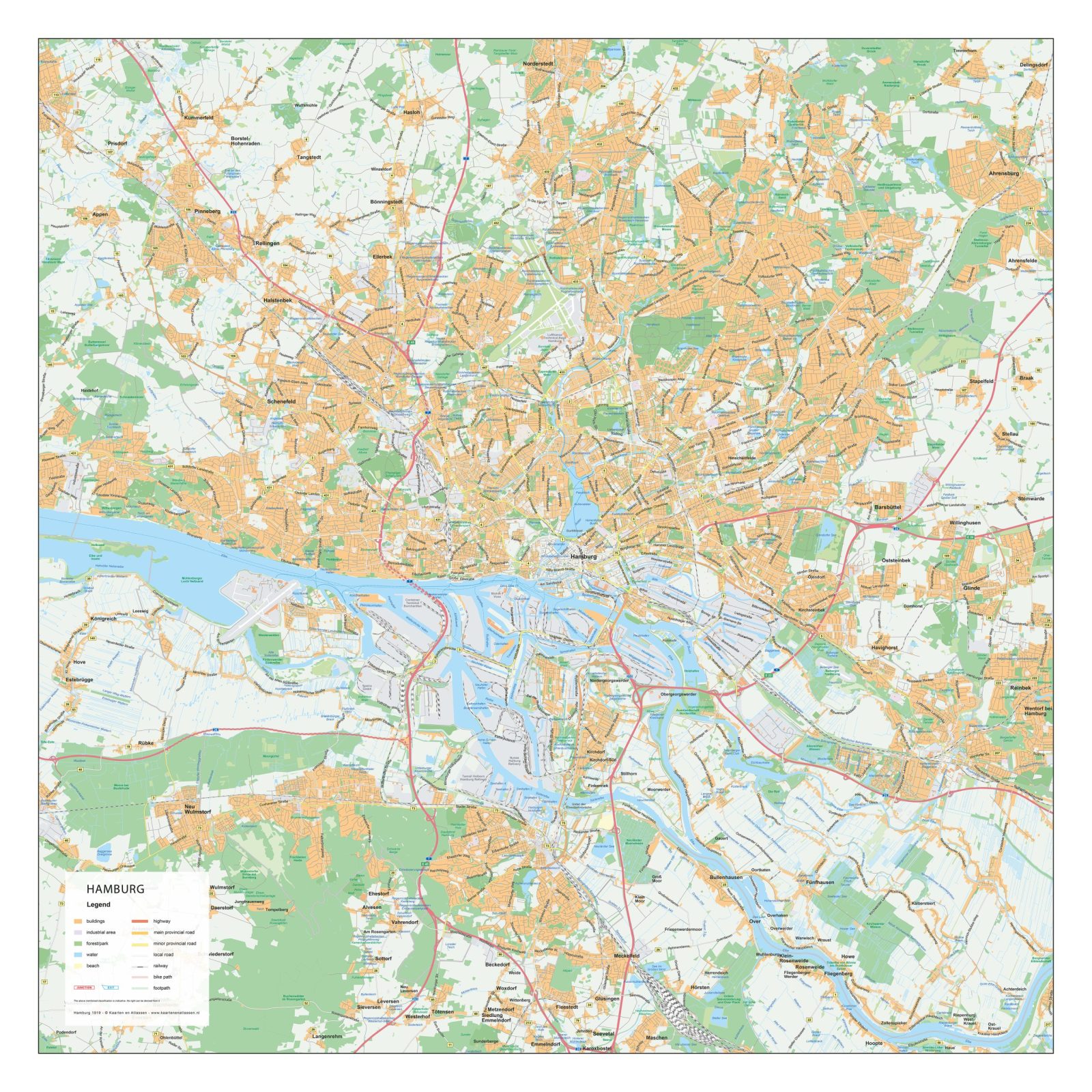
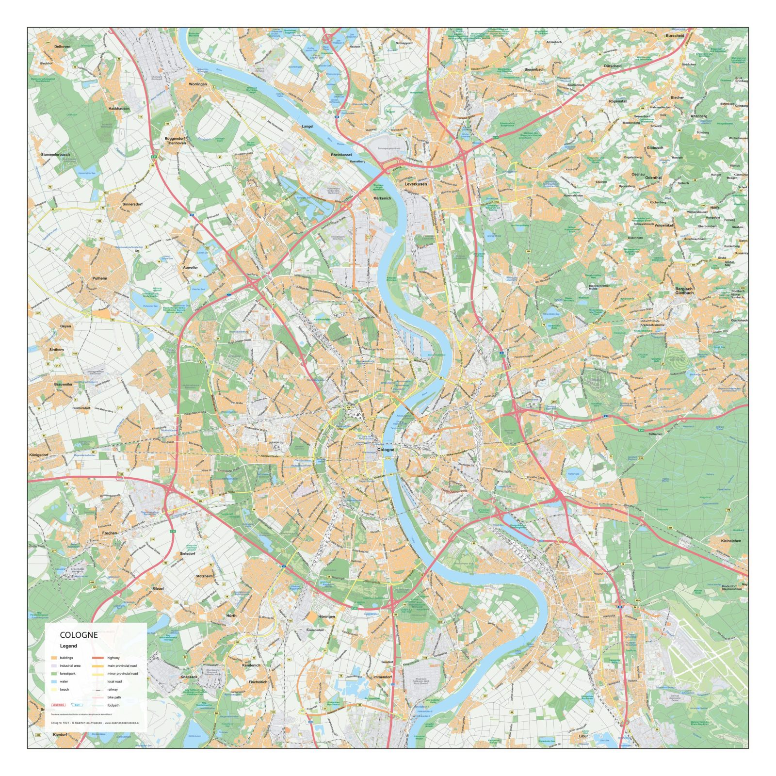
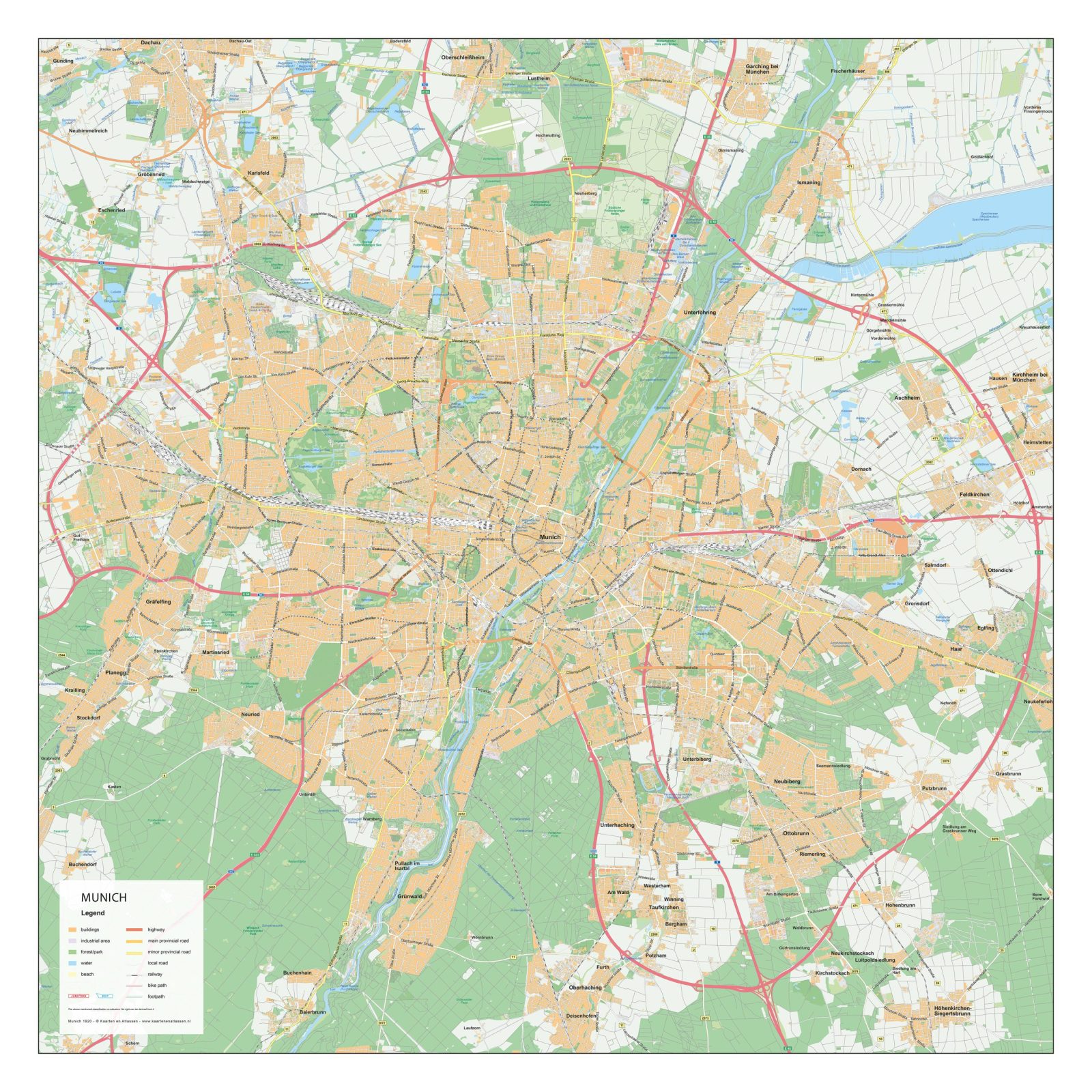
This collection features detailed city maps of German cities, designed to clearly present their urban structure and spatial organisation. Streets, neighbourhoods, rivers, parks and key urban areas are accurately displayed, offering a clear overview of both historic city centres and modern districts.
The maps are created with a strong focus on clarity and consistency, making them well suited for professional, educational and design-related use. Each city map reflects the distinct character of German cities, from compact historic cores to expansive metropolitan layouts, all presented in a precise and readable cartographic style.
Suitable for education, publishing, design and research
Available in various styles: detailed, pastel, modern, scientific
More than 30 years of experience in cartographic production
Custom modifications available
Need a Custom Map?
If you need a map with specific colours, labels, languages or custom details, feel free to contact us at info@theworldofmaps.com — we’re happy to help.