High-quality vector downloads (EPS & JPG) for professional use
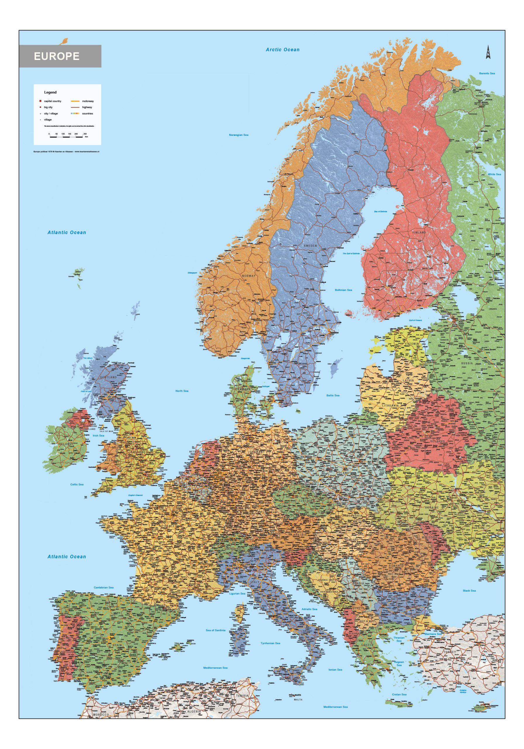
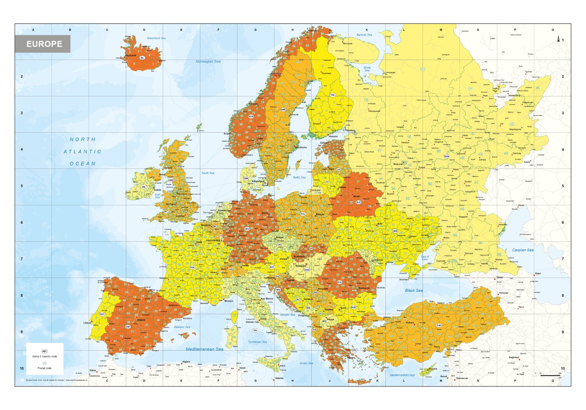
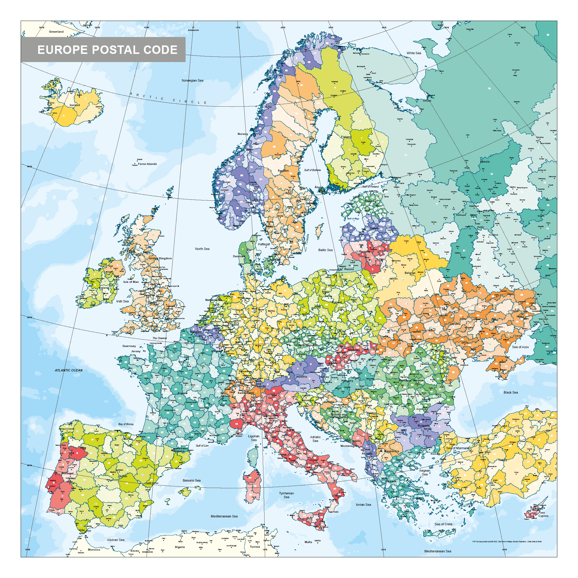
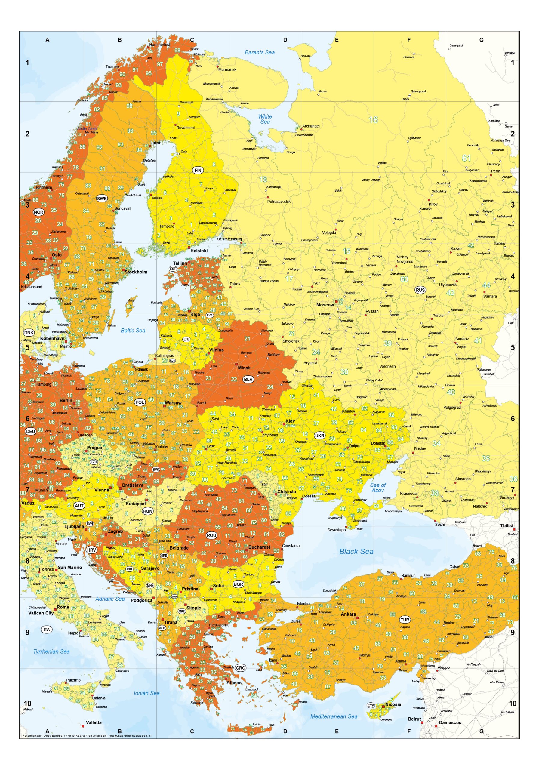
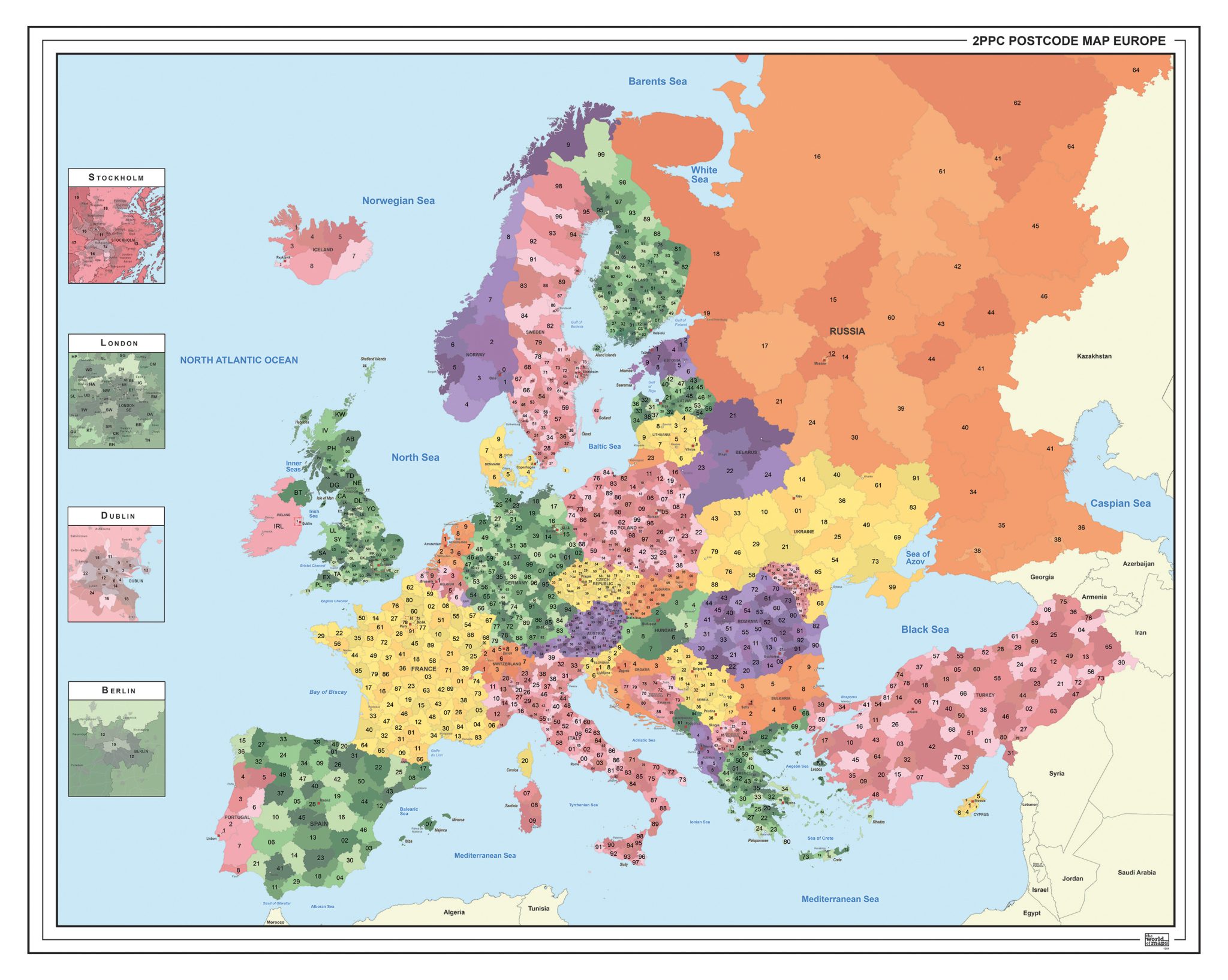
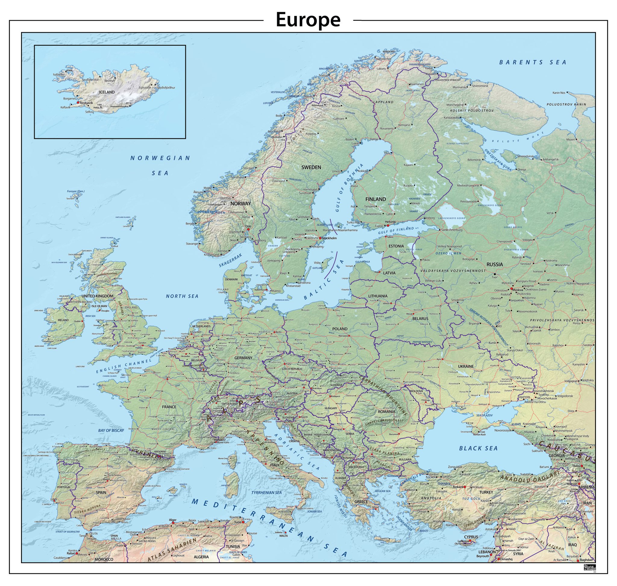
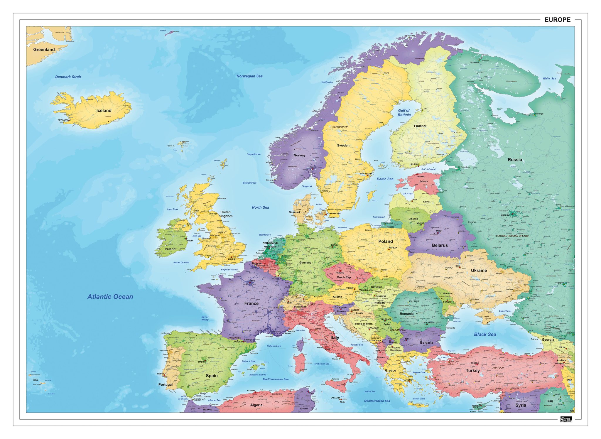
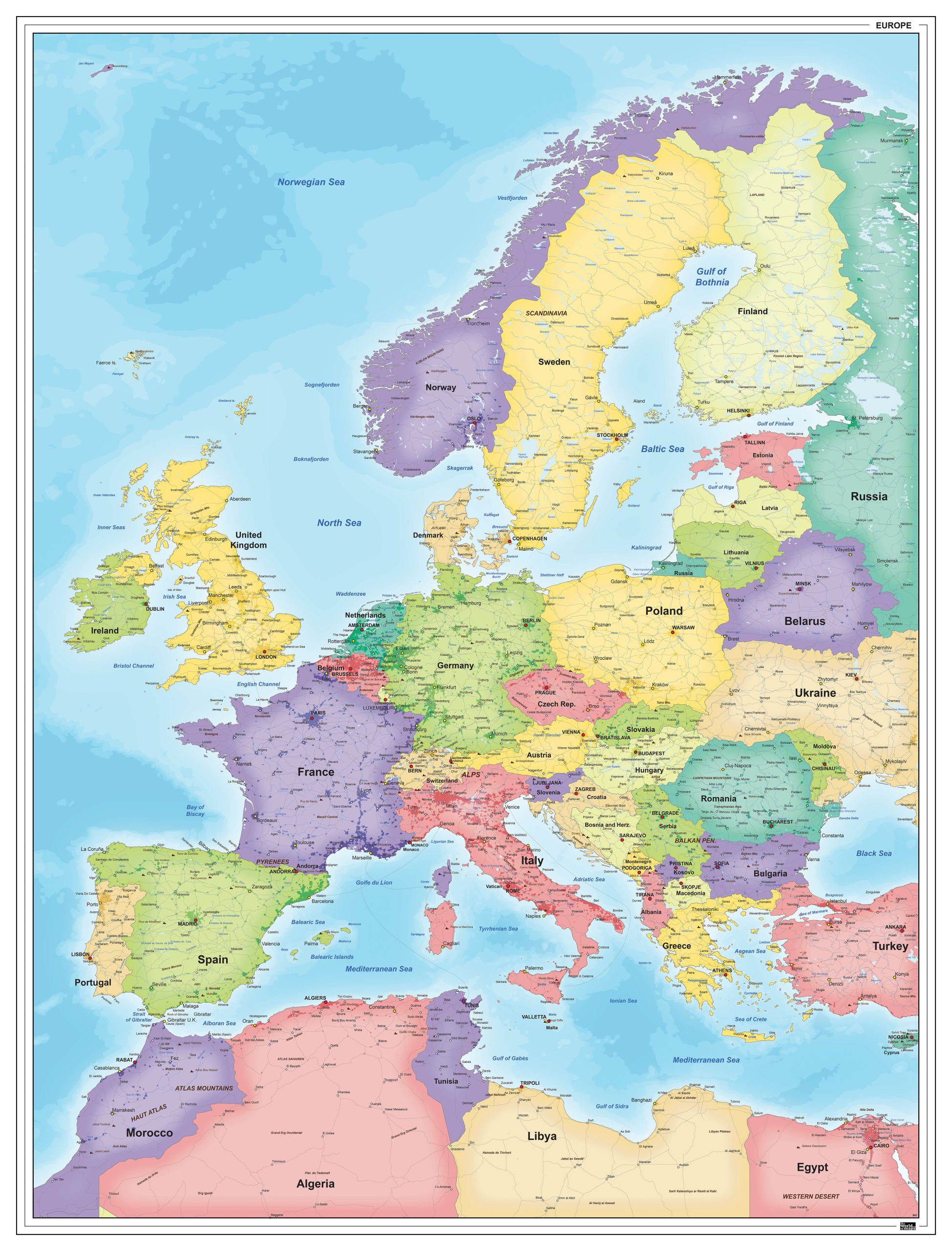
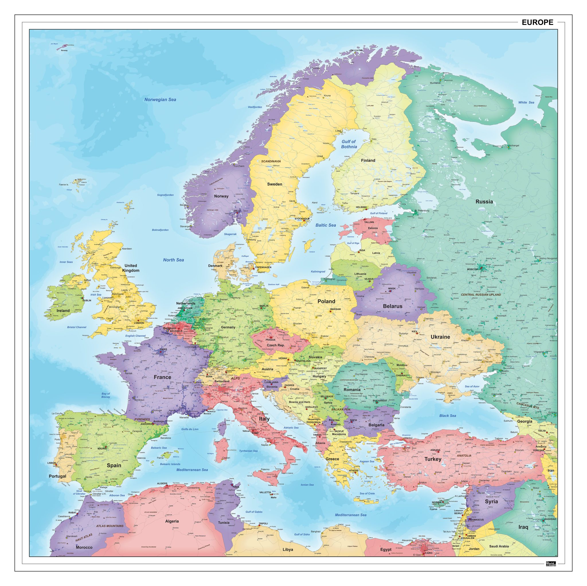
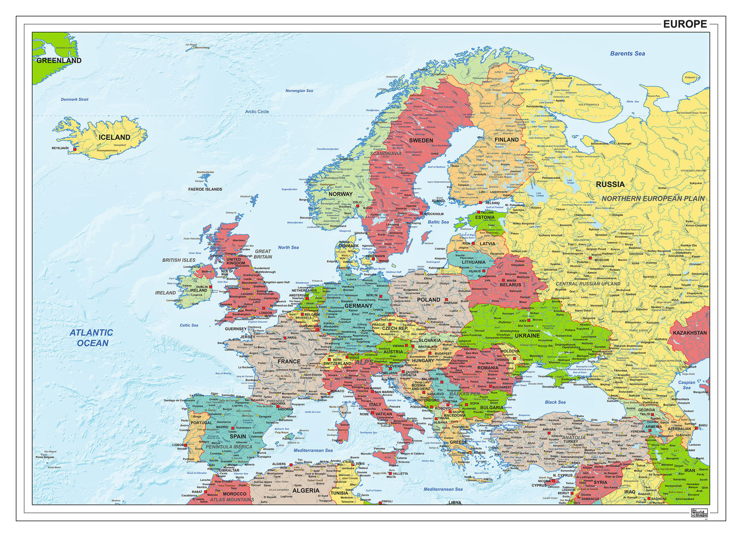
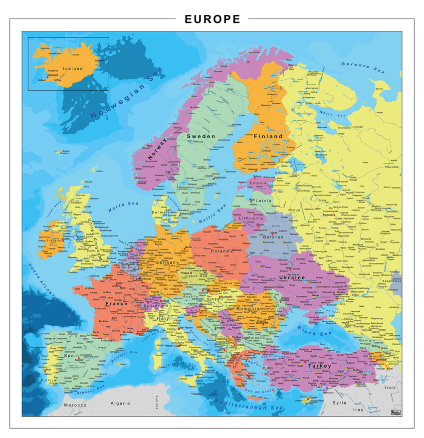
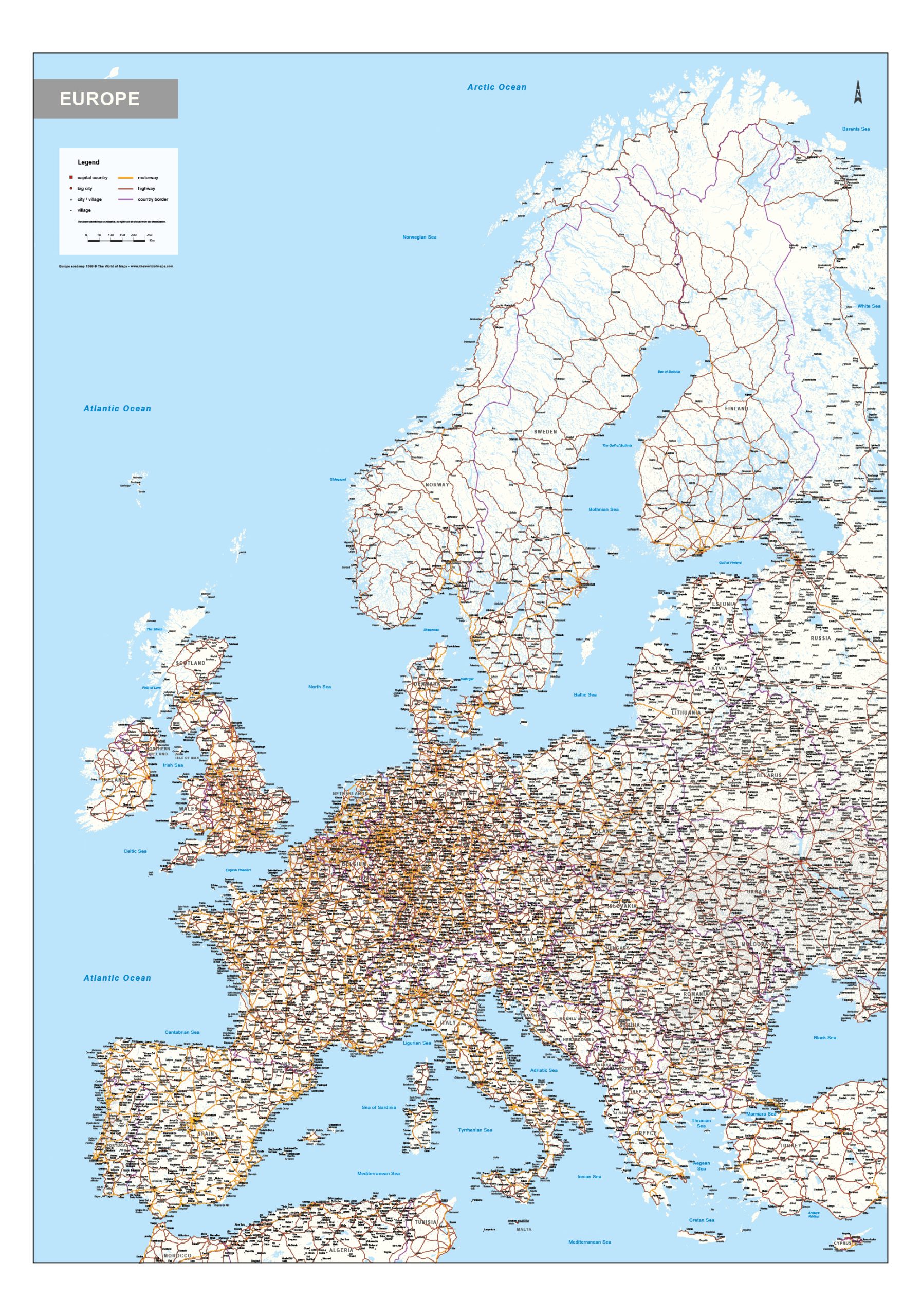
This category features a wide range of maps covering the European continent. The collection includes both political maps, showing countries and borders, and physical maps that highlight terrain and geographical structure. Europe is a commonly referenced region, which is reflected in the variety of available styles and levels of detail.
Maps are offered in different orientations, such as landscape, portrait and square formats, allowing for clear presentation of both broad overviews and more detailed layouts. The selection includes various visual styles and editions, making it suitable for many types of use. Many Europe maps in this category are also available as digital files.
Suitable for education, publishing, design and research
Available in various styles: detailed, pastel, modern, scientific
More than 30 years of experience in cartographic production
Custom modifications available
Need a Custom Map?
If you need a map with specific colours, labels, languages or custom details, feel free to contact us at info@theworldofmaps.com — we’re happy to help.