✅ Diverse formaten ✅ Niet goed, geld terug ✅ Meer dan 30 jaar ervaring

Country Maps

High-quality vector downloads (EPS & JPG) for professional use

Detailed digital maps of countries worldwide

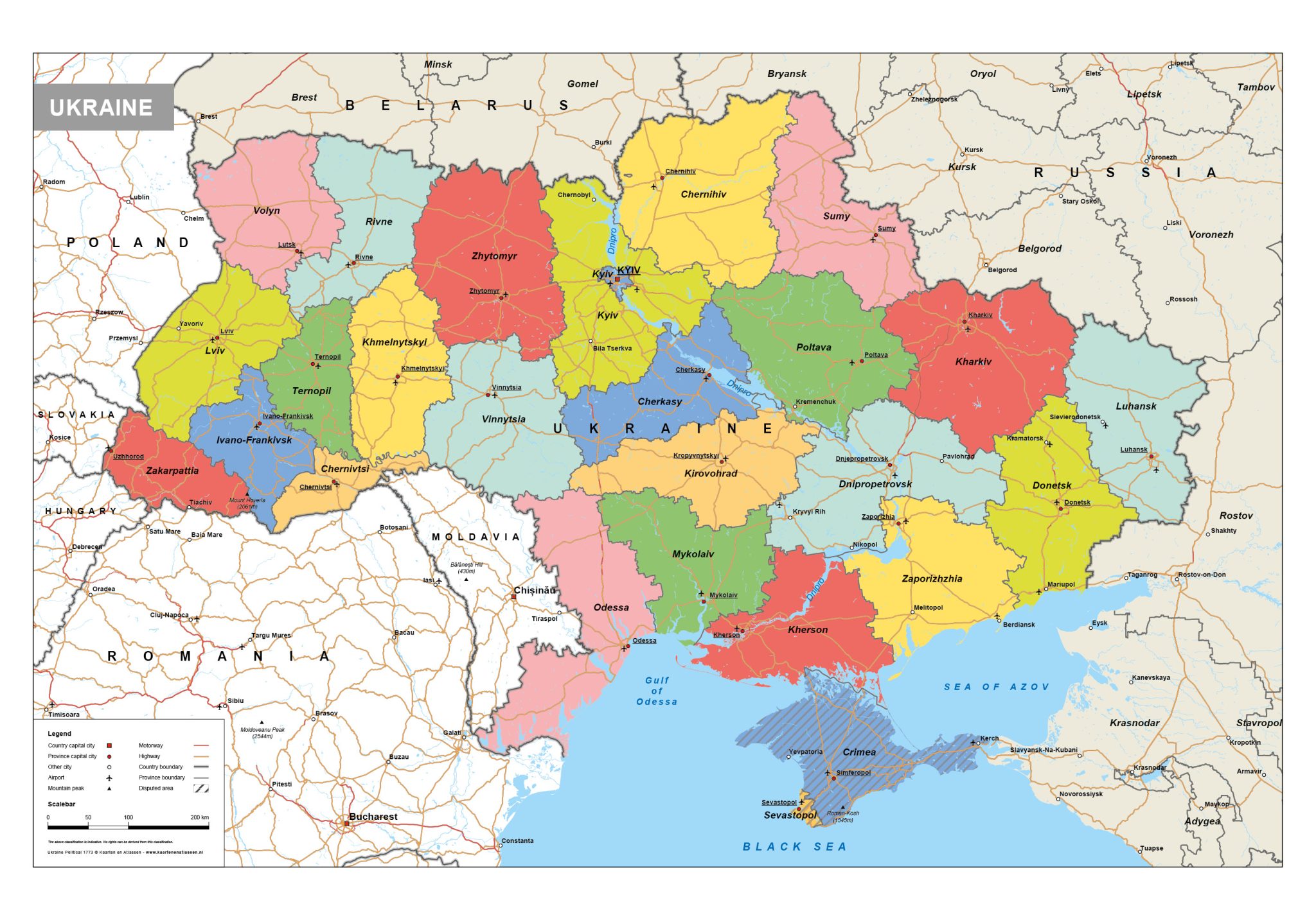
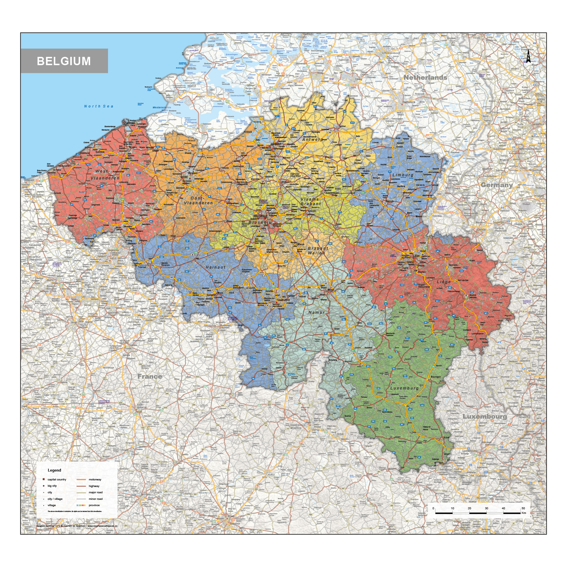
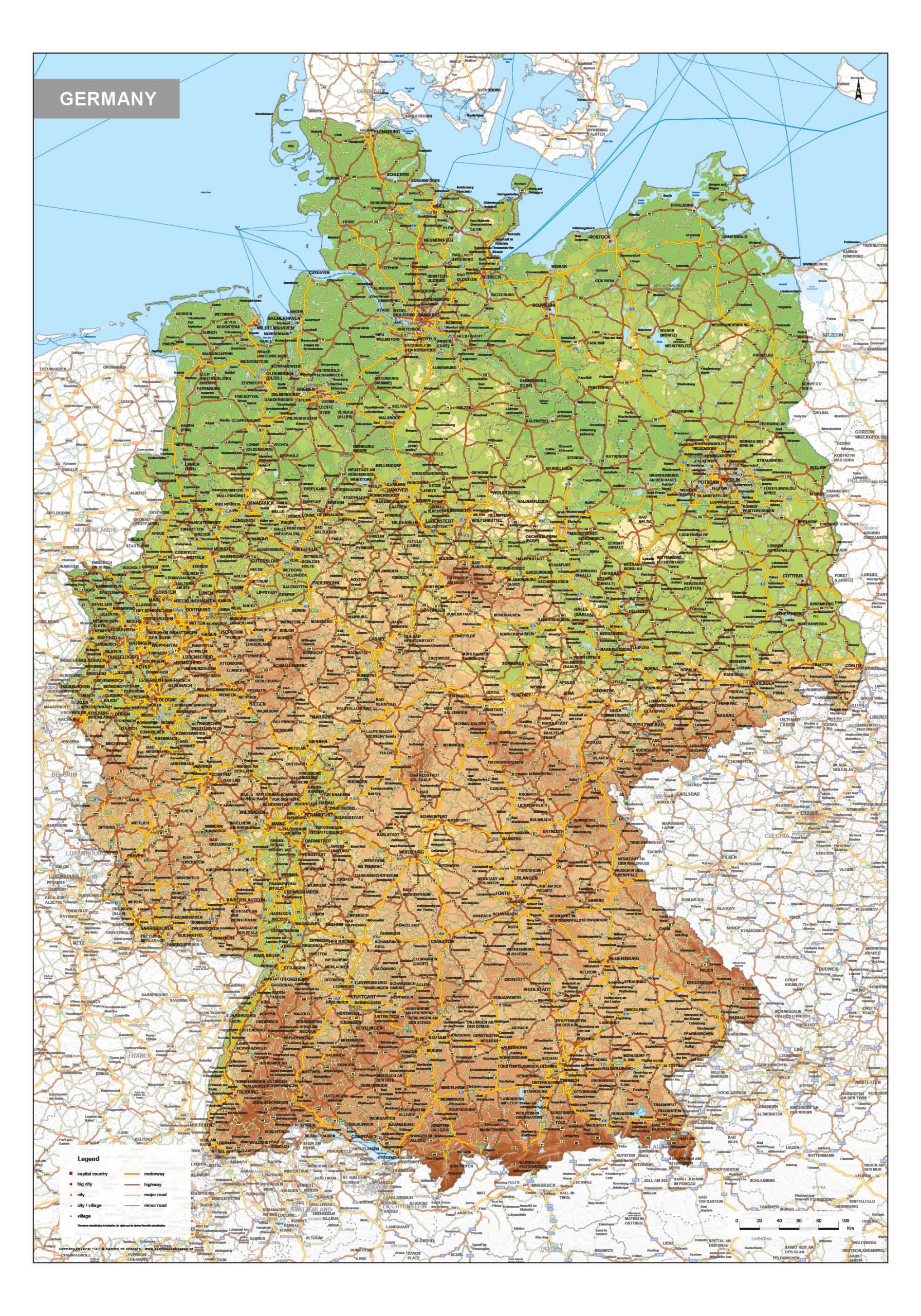
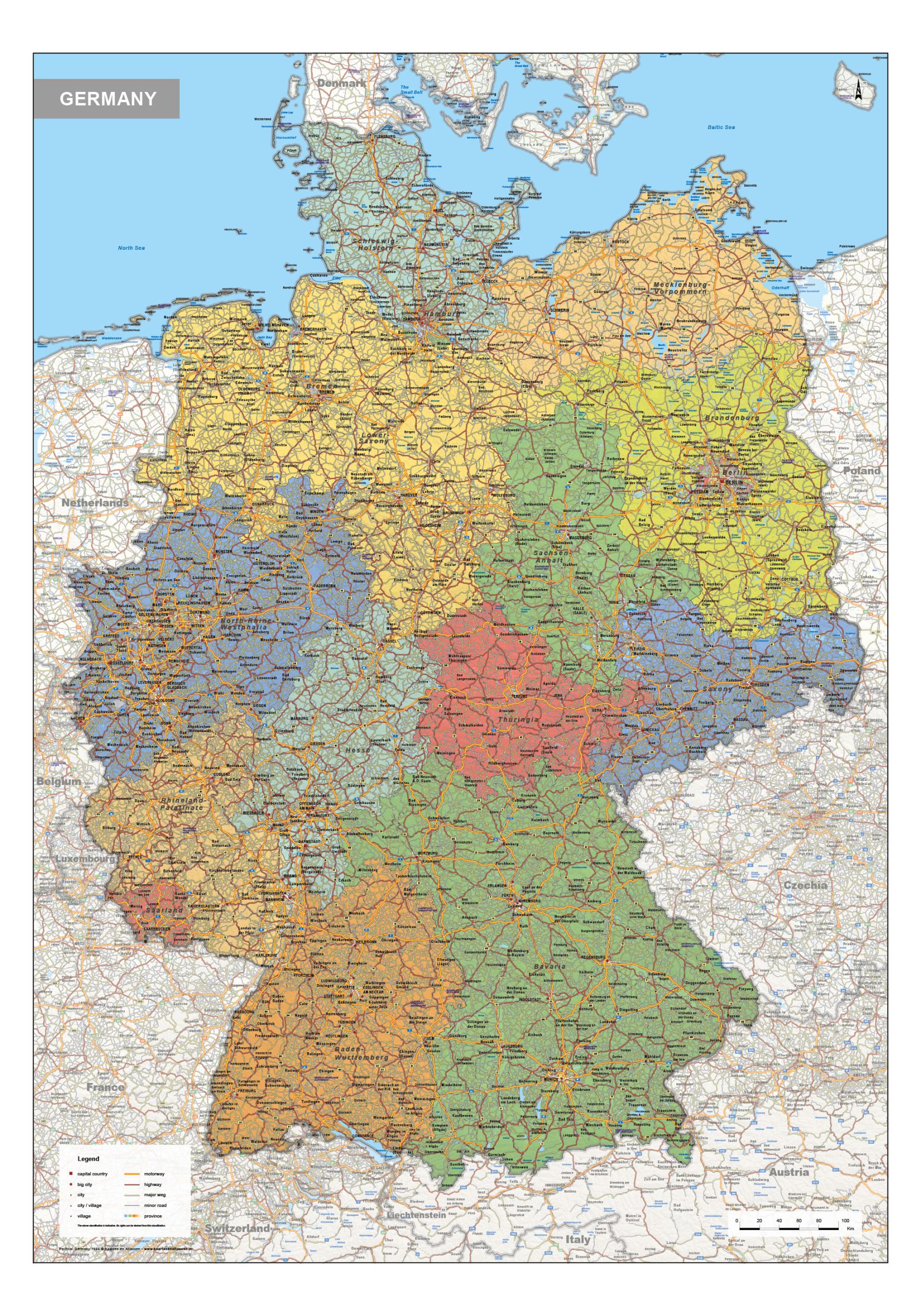
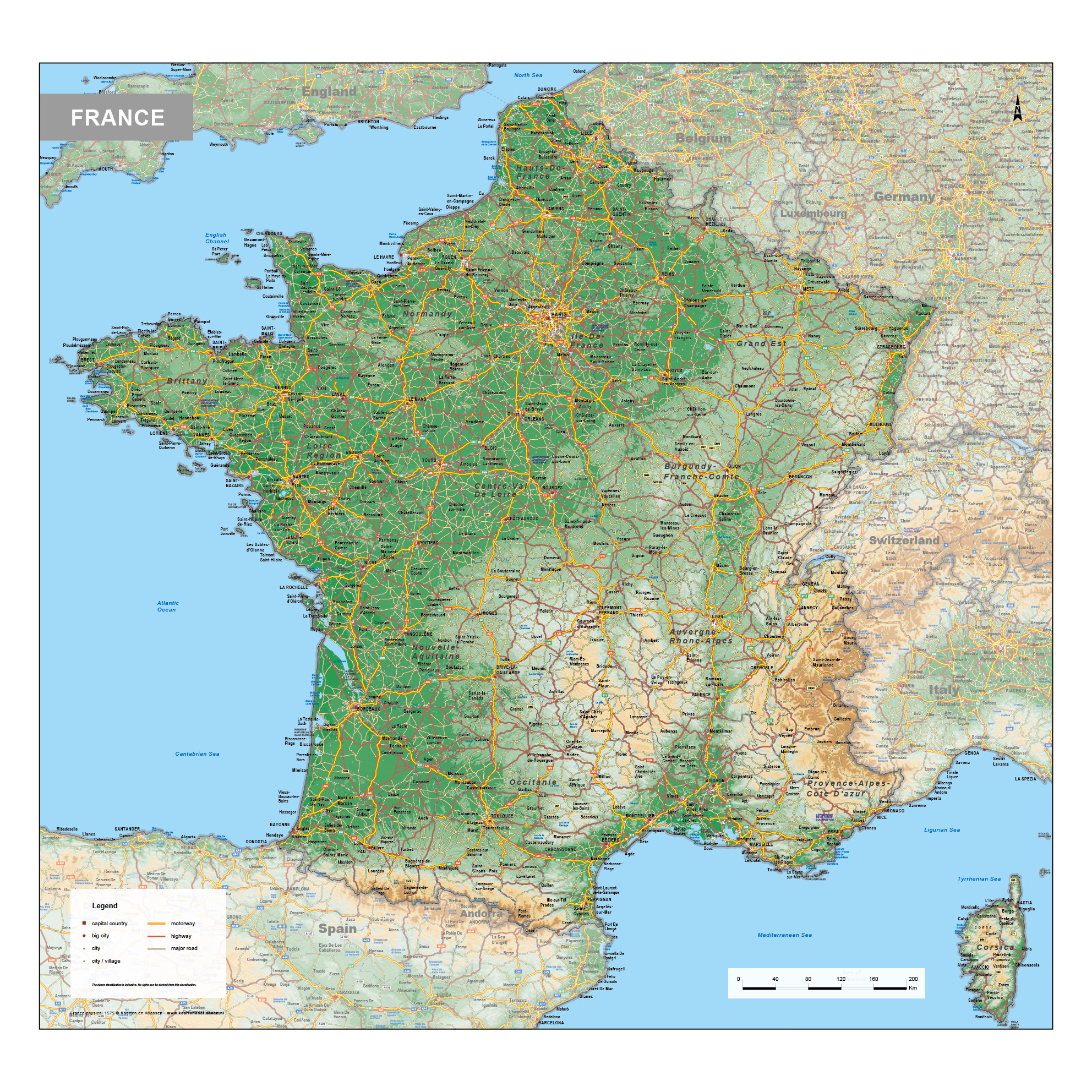
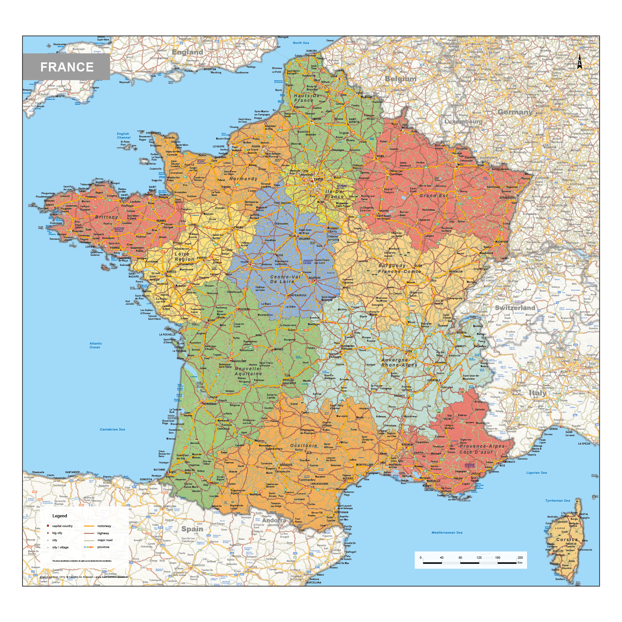
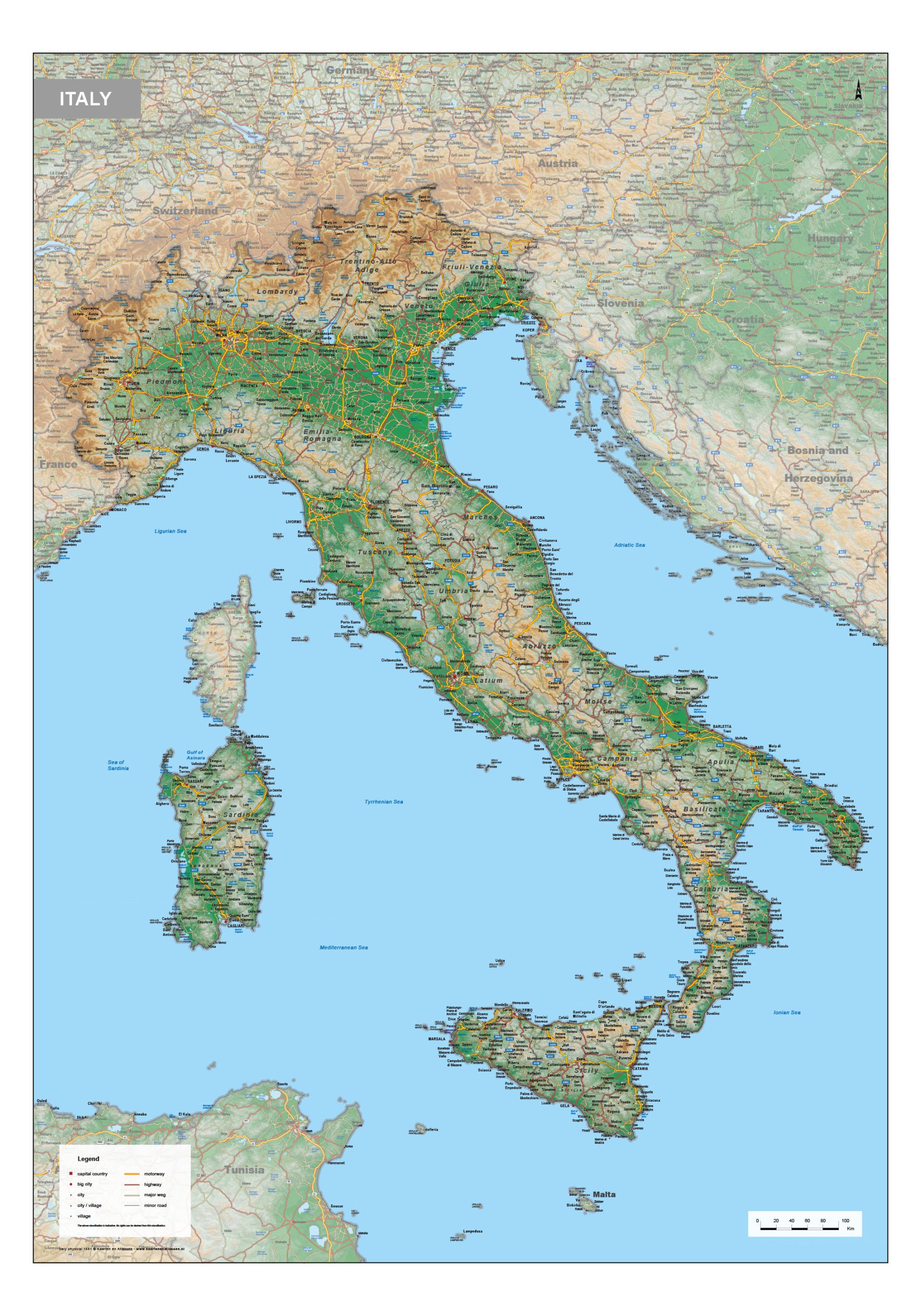
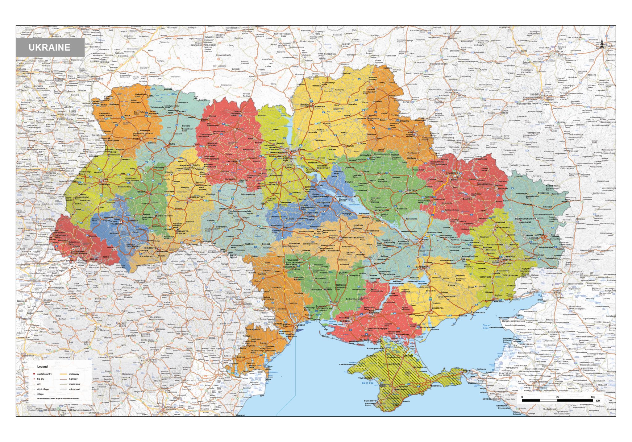
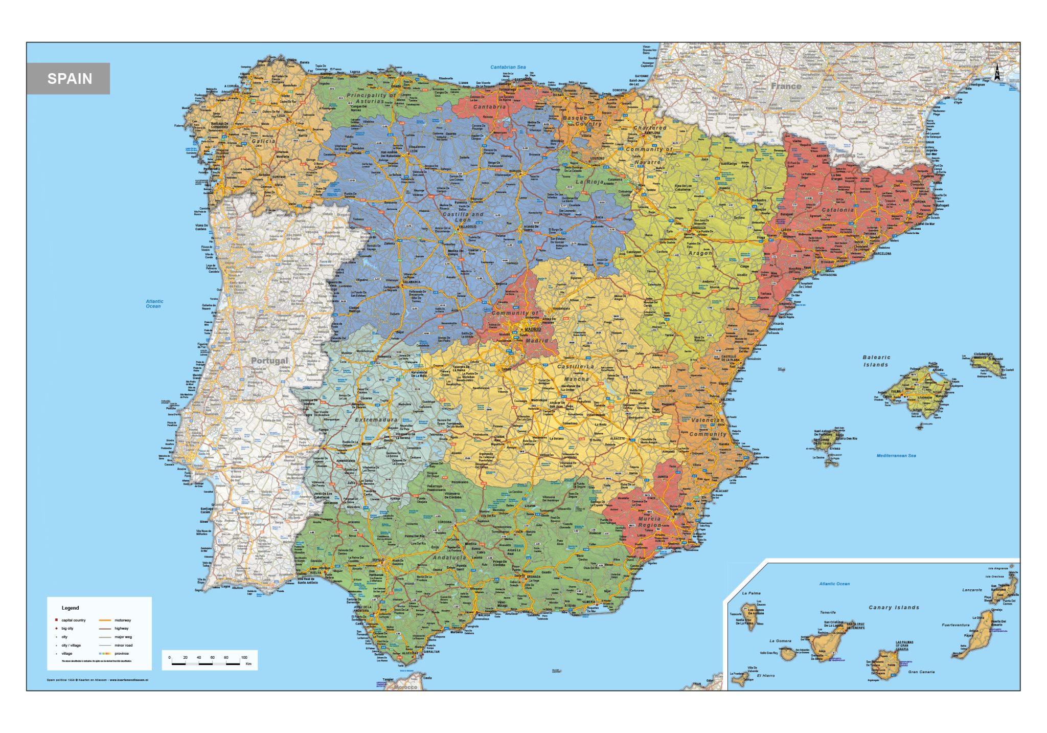
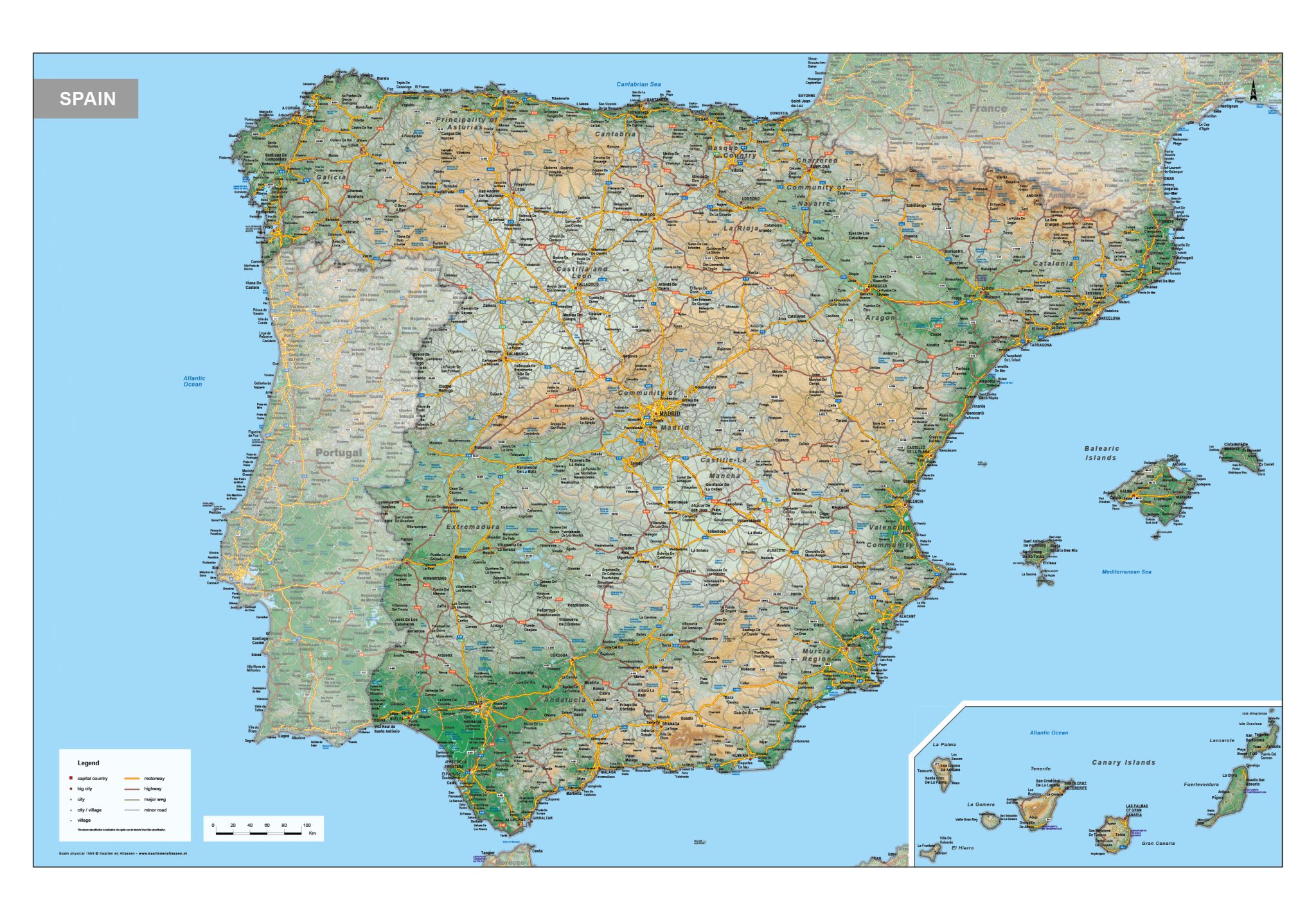
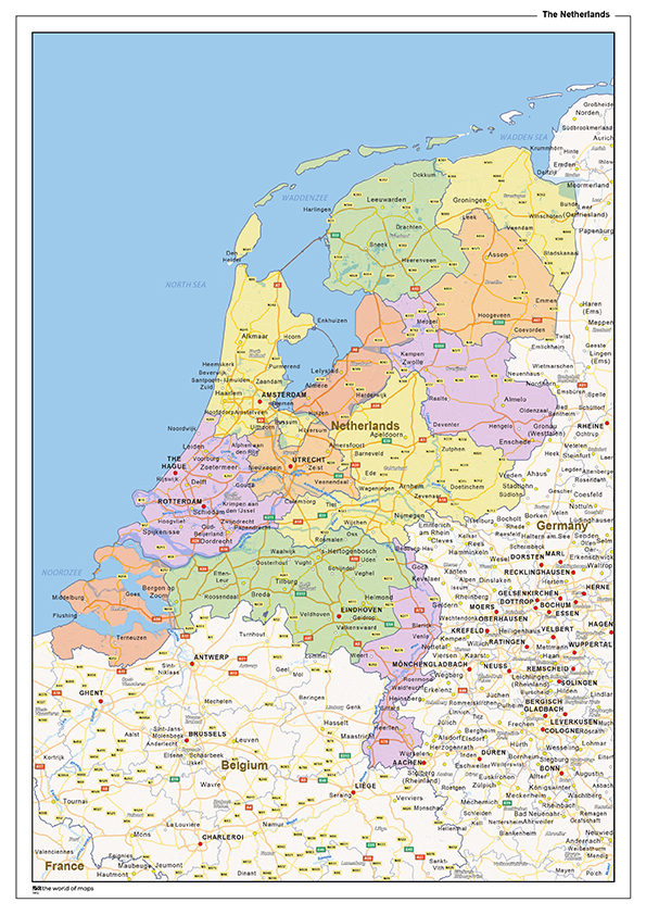
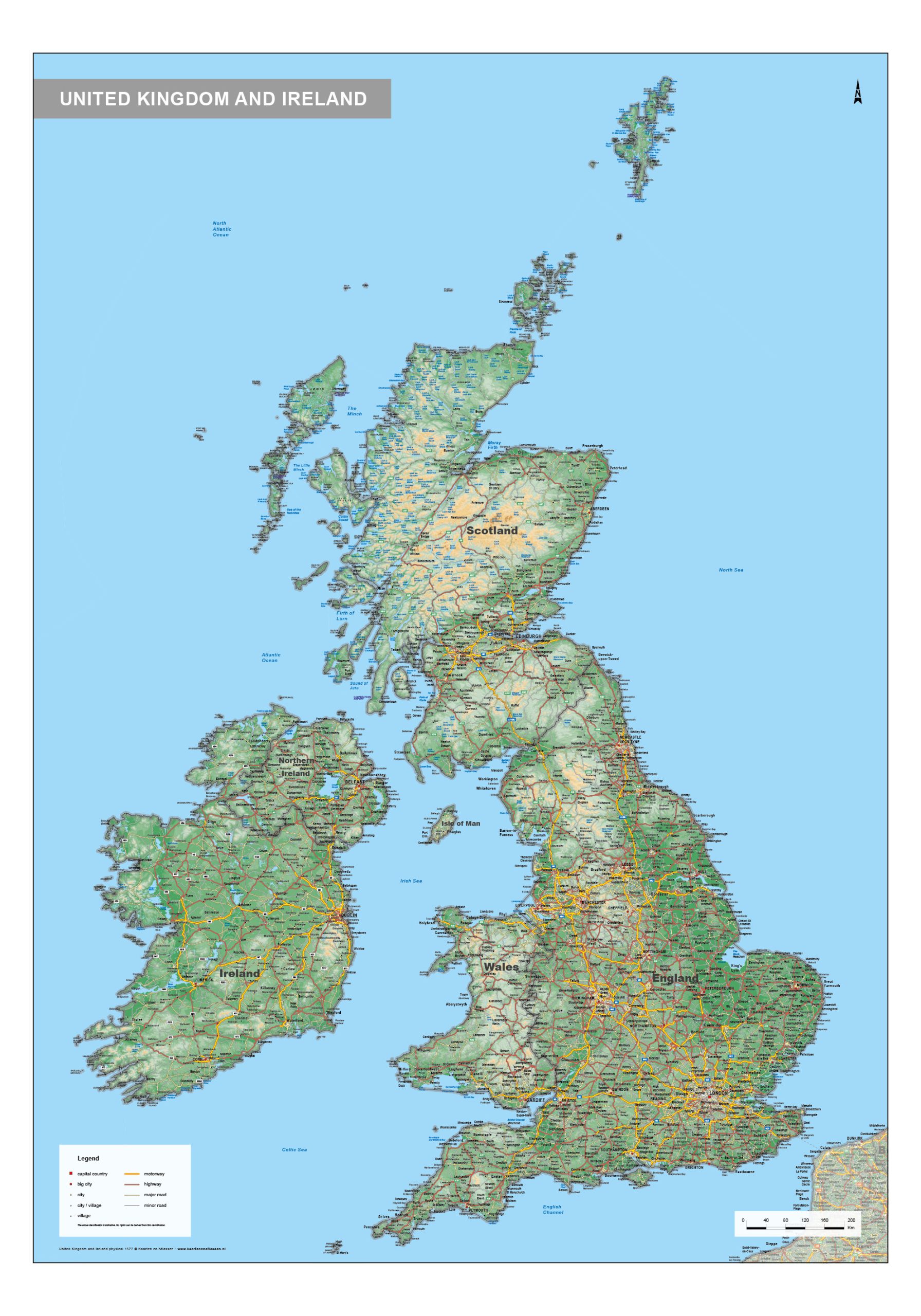
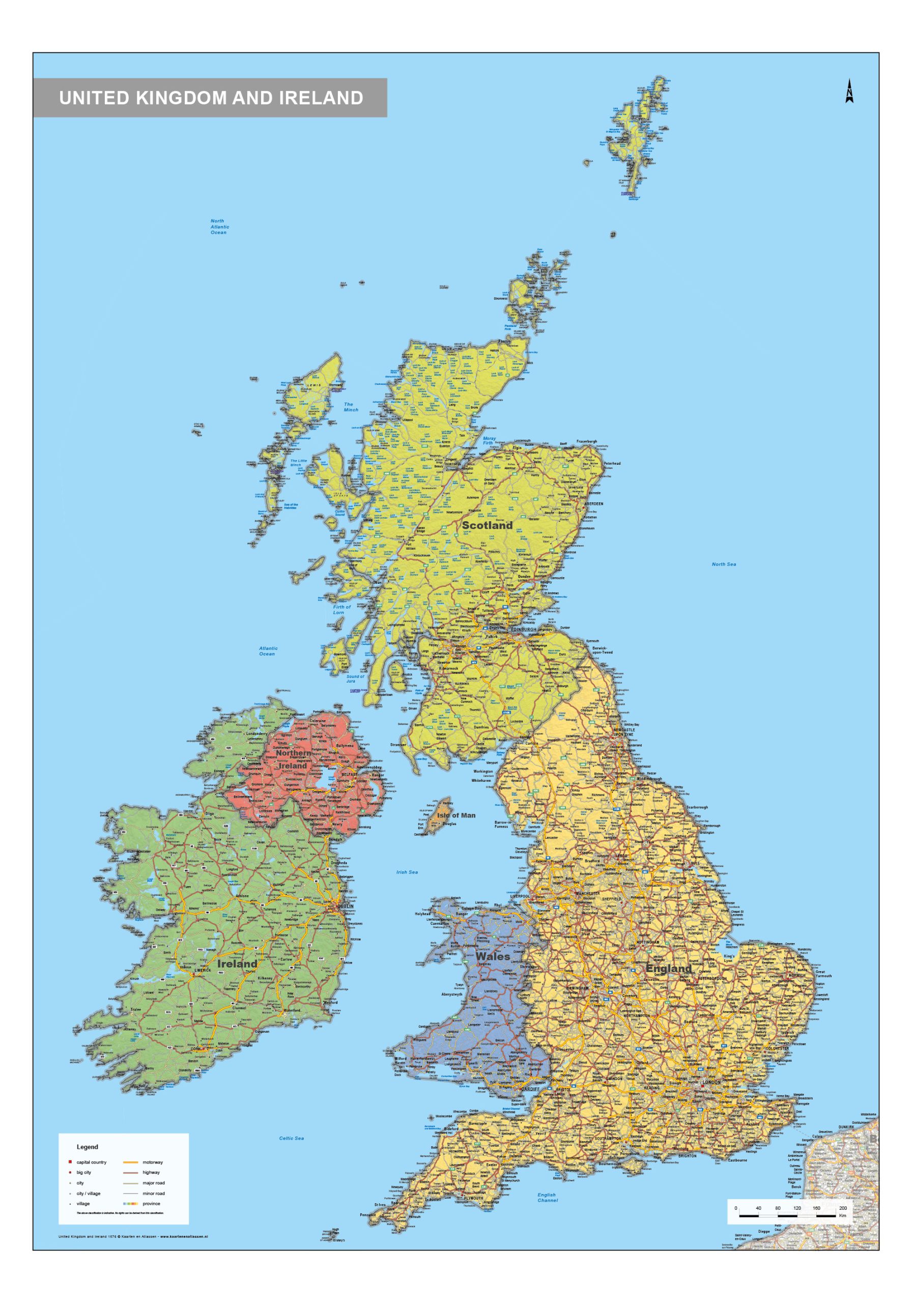
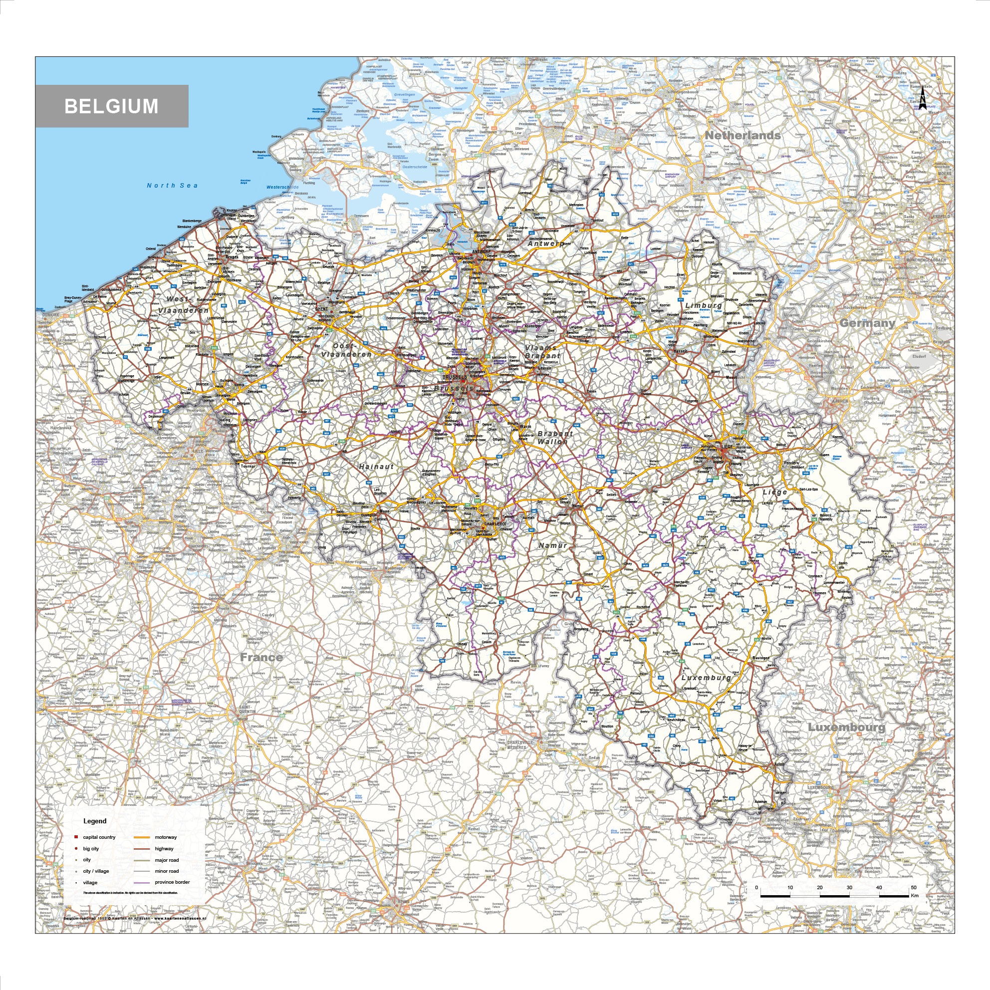
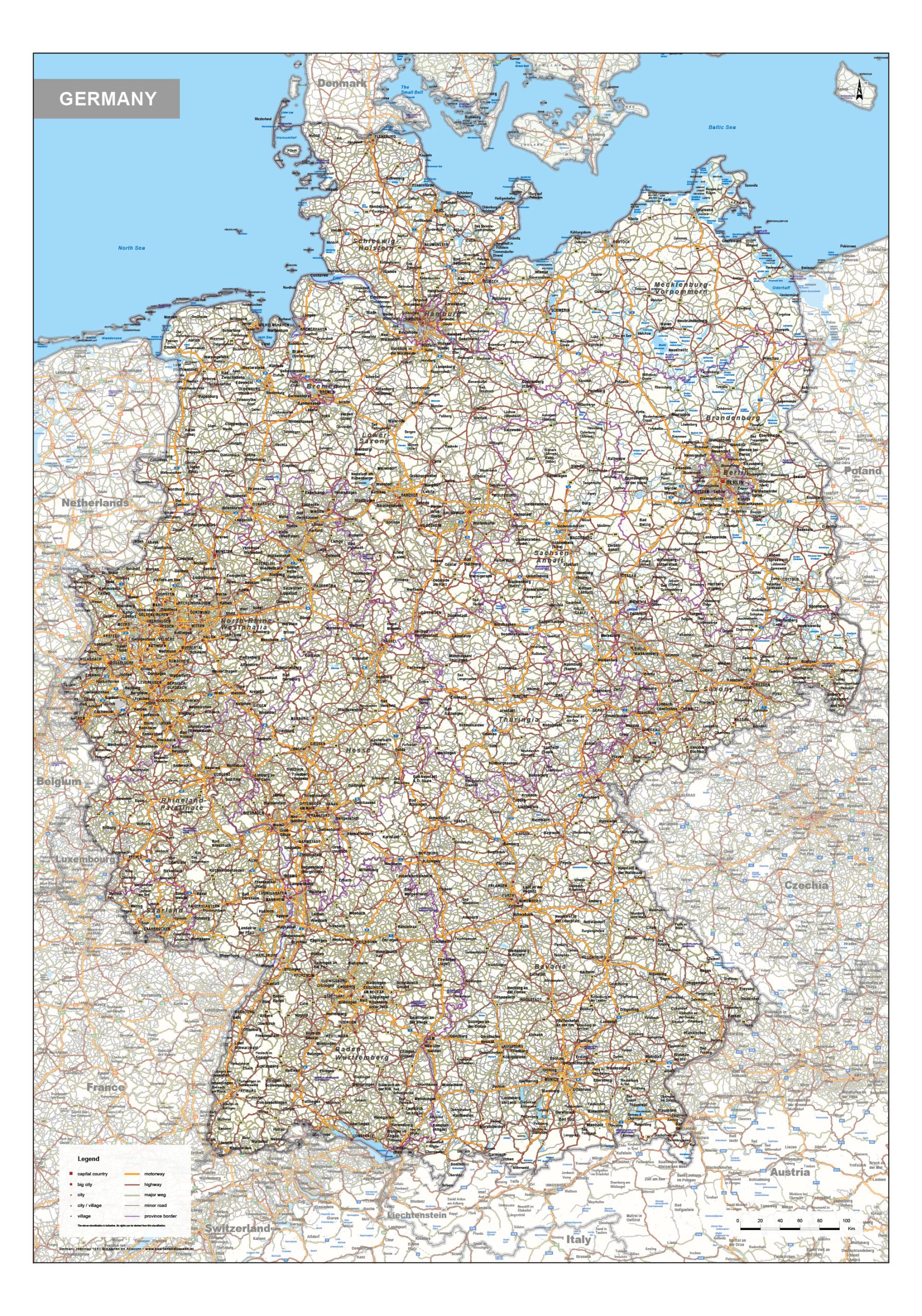
This category presents a wide selection of digital country maps, covering most European nations as well as a growing number of countries beyond Europe. The collection includes political maps, physical maps and highly detailed road maps, each designed to provide a clear and structured geographic overview. Depending on the map type, emphasis is placed on national borders, terrain, infrastructure or natural features. All maps are created for professional use and are suitable for design, print, education and digital applications.

Country Maps – Political, Physical and Road-Based Editions

Our country maps offer in-depth geographic detail at national level, making them ideal for projects that require precision and clarity. Whether you need a clear administrative overview, a natural landscape representation or an infrastructure-focused road map, each country map is designed to balance detail with readability.

Available Map Types

Political Country Maps
Maps highlighting national borders, provinces or regions, cities and administrative divisions. Suitable for reference, education and editorial use.

Physical / Natural Country Maps
Maps that focus on terrain, elevation, rivers and landscape structure, providing insight into the natural geography of a country.

Road Maps
Highly detailed maps showing highways, primary and secondary roads, railways and key settlements, designed for transport and infrastructure-related applications.

Professional Digital Downloads

All country maps are supplied as EPS & JPG files, ensuring maximum flexibility:

  • scalable without loss of quality

  • suitable for large-format printing

  • ideal for graphic design and publishing

  • compatible with professional design software

Extensive Geographic Coverage

While most European countries are represented in detail, the collection also includes a selection of countries from other parts of the world. In addition, our digital archive contains further maps that may not be listed directly in this category.

Why Choose Our Country Maps

✔ High-quality EPS & JPG digital downloads
✔ Political, physical and road map editions
✔ Suitable for print, design and educational use
✔ Clear cartographic structure and accurate data
✔ Consistent visual style across the collection