High-quality vector downloads (EPS & JPG) for professional use
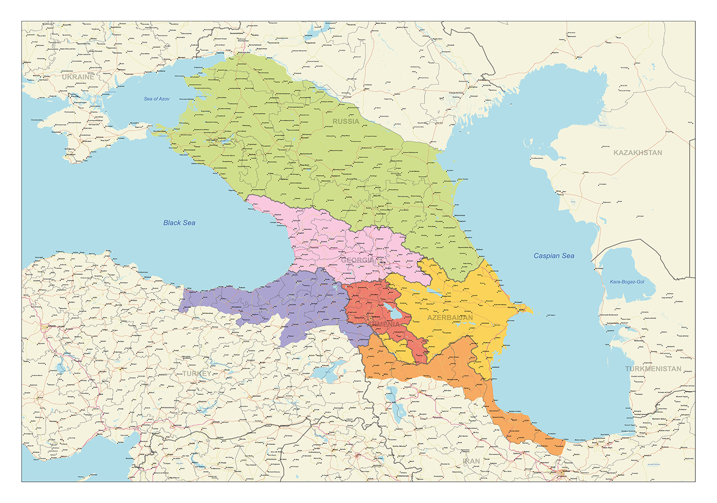
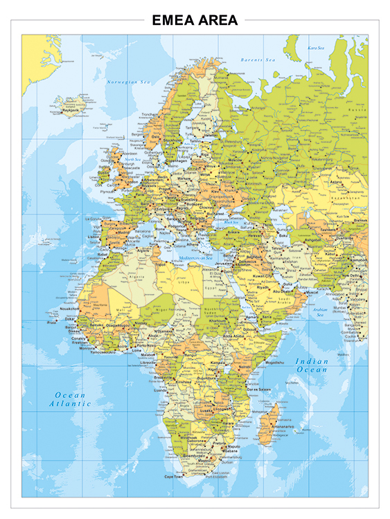
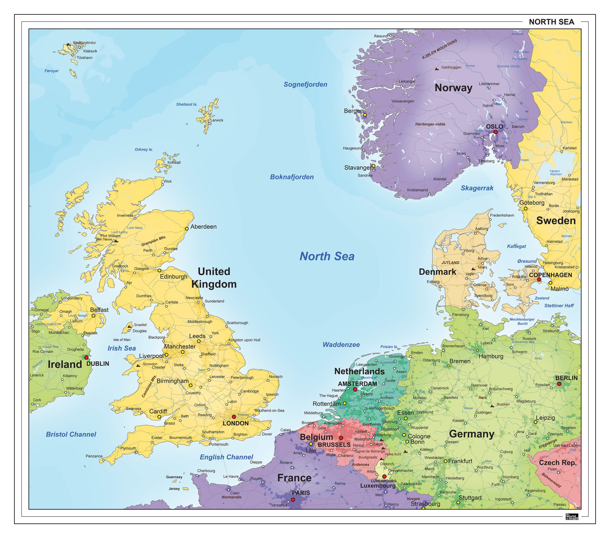
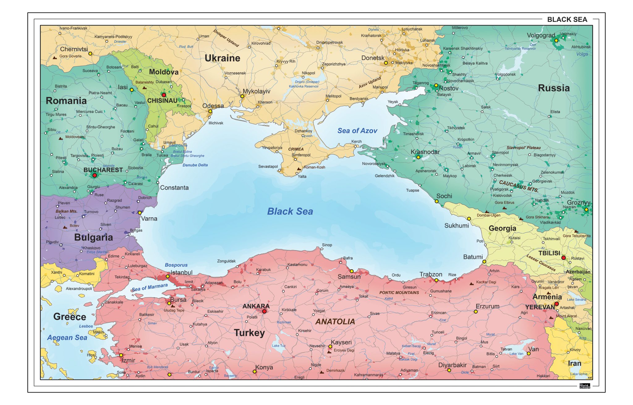
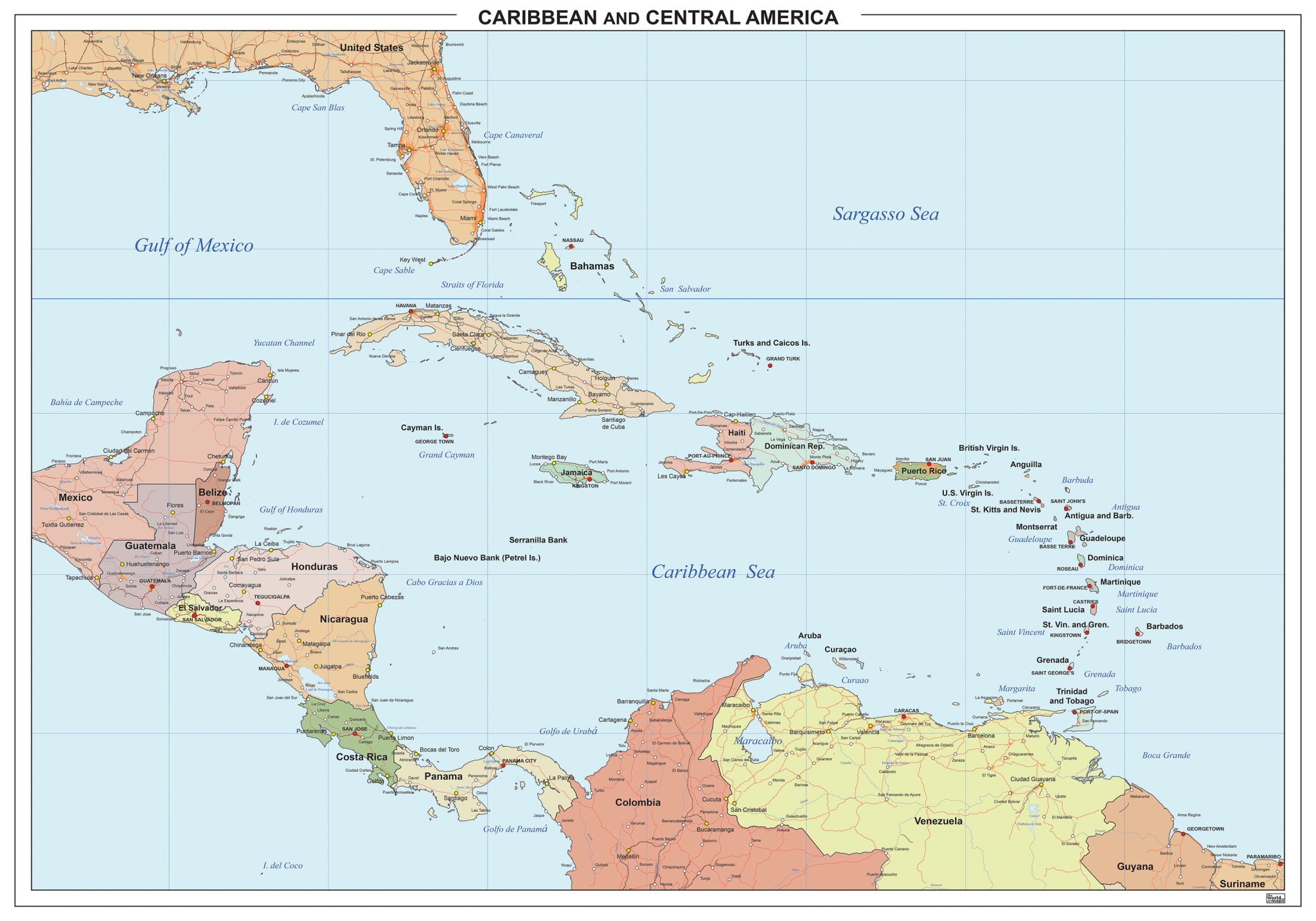
This section features maps that focus on larger regions and subcontinental areas rather than single continents. Examples include EMEA (Europe, the Middle East and Africa), the Benelux combined with Germany, and regional groupings such as countries around the North Sea or the Black Sea. These maps highlight geographic relationships and spatial connections between neighbouring countries and regions.
Both political and physical map types are available, depending on whether the emphasis lies on borders and countries or on landscape and natural features. The collection offers a variety of visual styles, layouts and formats, making it suitable for different informational and professional uses.
Suitable for education, publishing, design and research
Available in various styles: detailed, pastel, modern, scientific
More than 30 years of experience in cartographic production
Custom modifications available
Need a Custom Map?
If you need a map with specific colours, labels, languages or custom details, feel free to contact us at info@theworldofmaps.com — we’re happy to help.