World Maps – Political, Physical & Environmental Styles
Our collection of world maps offers a wide range of styles, projections and visual approaches to suit any professional use case. Whether you need a clear political overview, a detailed physical representation or a decorative design for print or digital projects, each map is delivered as a high-quality EPS & JPG vector download. Ideal for designers, publishers, educators and organisations that require accurate and editable mapping material.
Choose Your Preferred Style
-
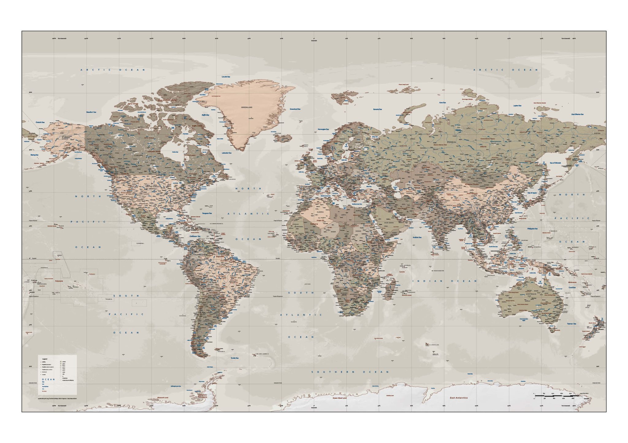
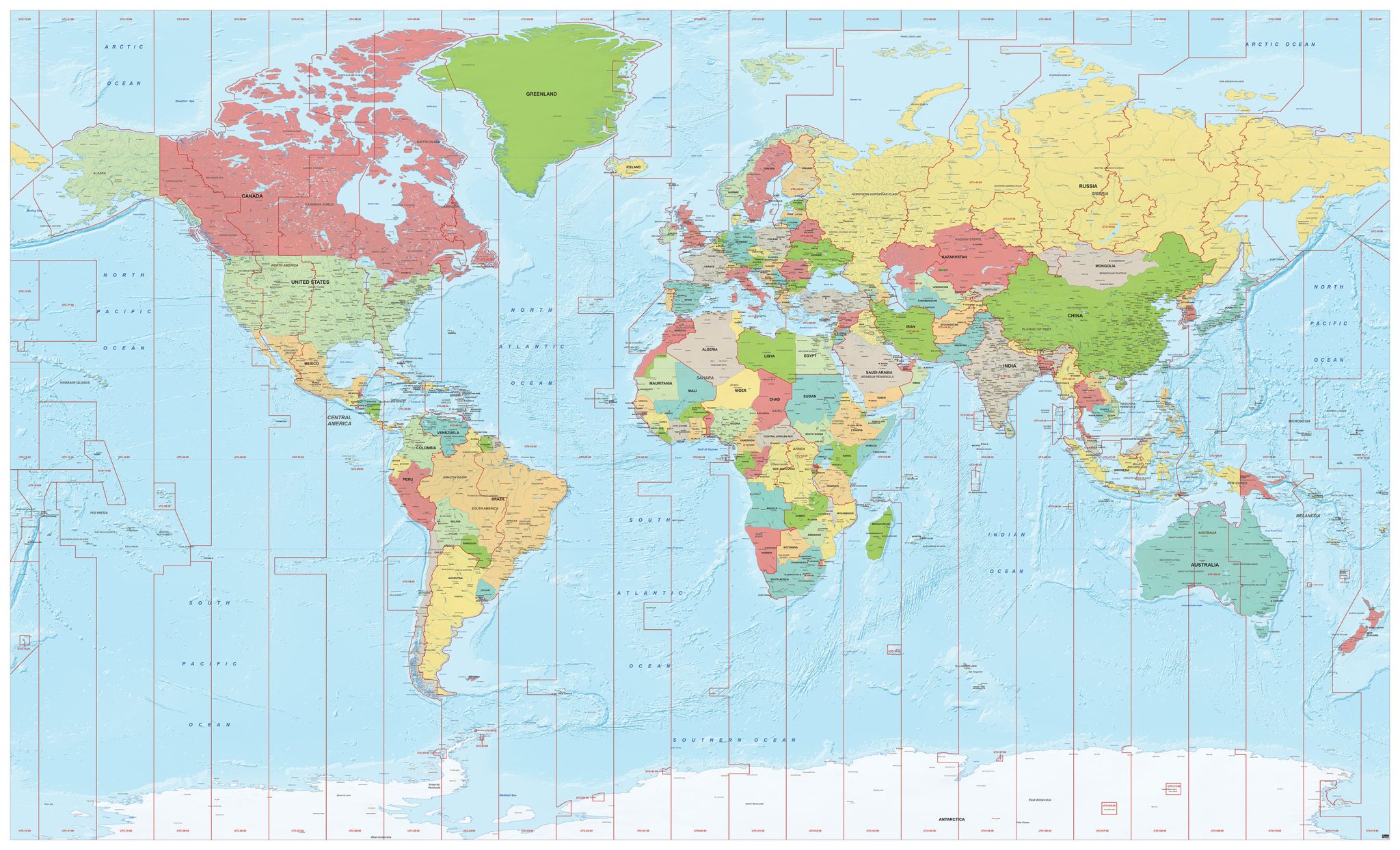
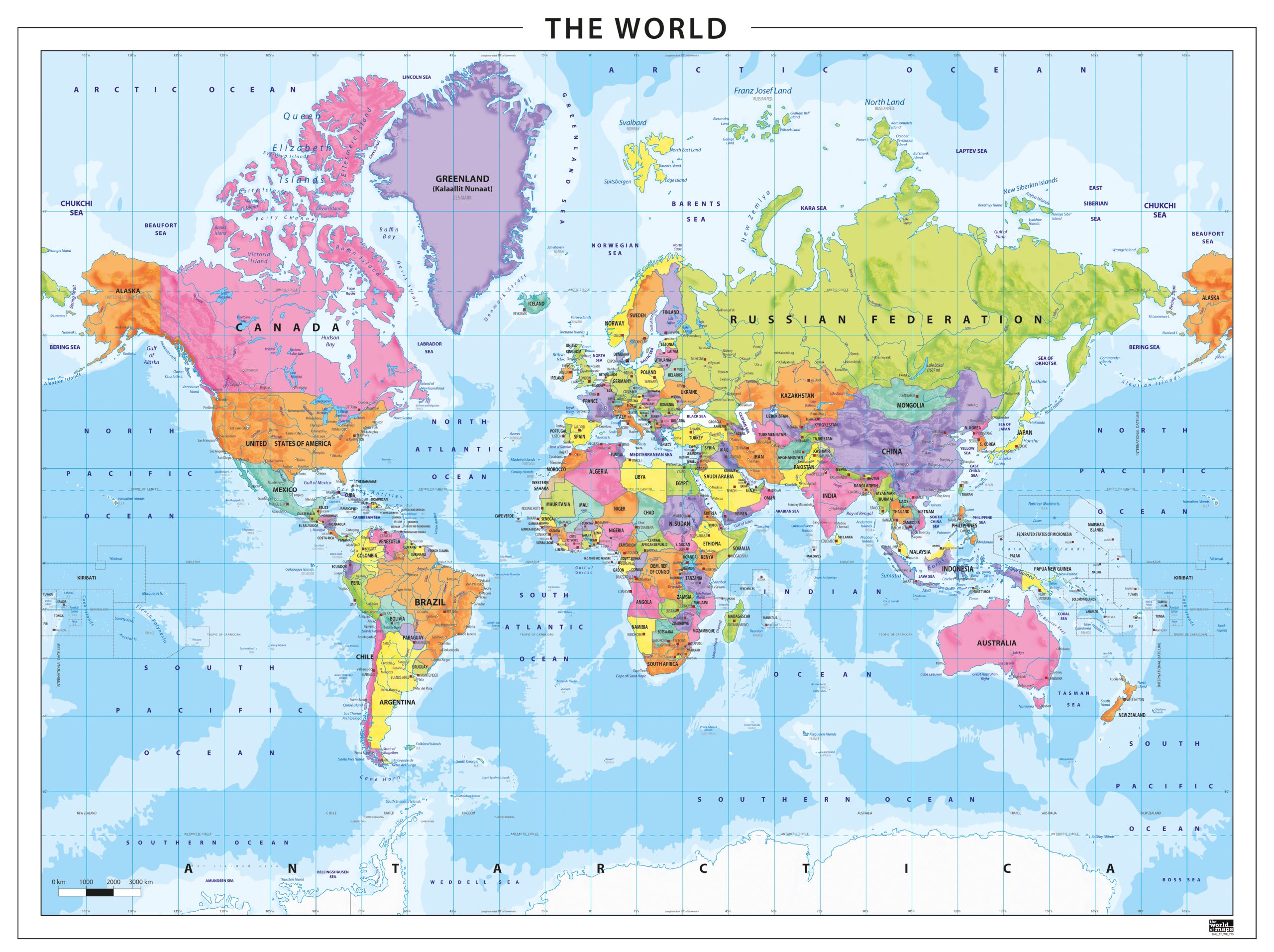
Political World Maps – Countries, borders and states displayed clearly for presentations, education and reference use.
-
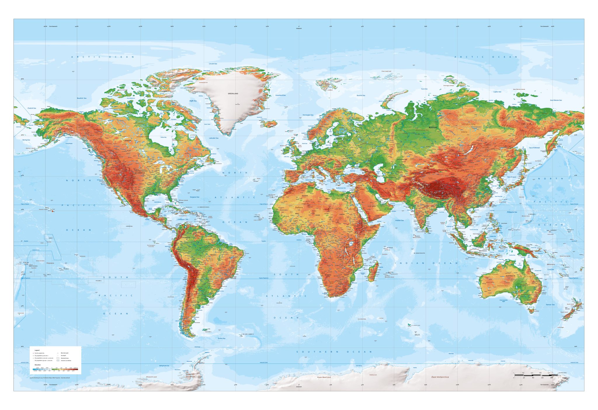
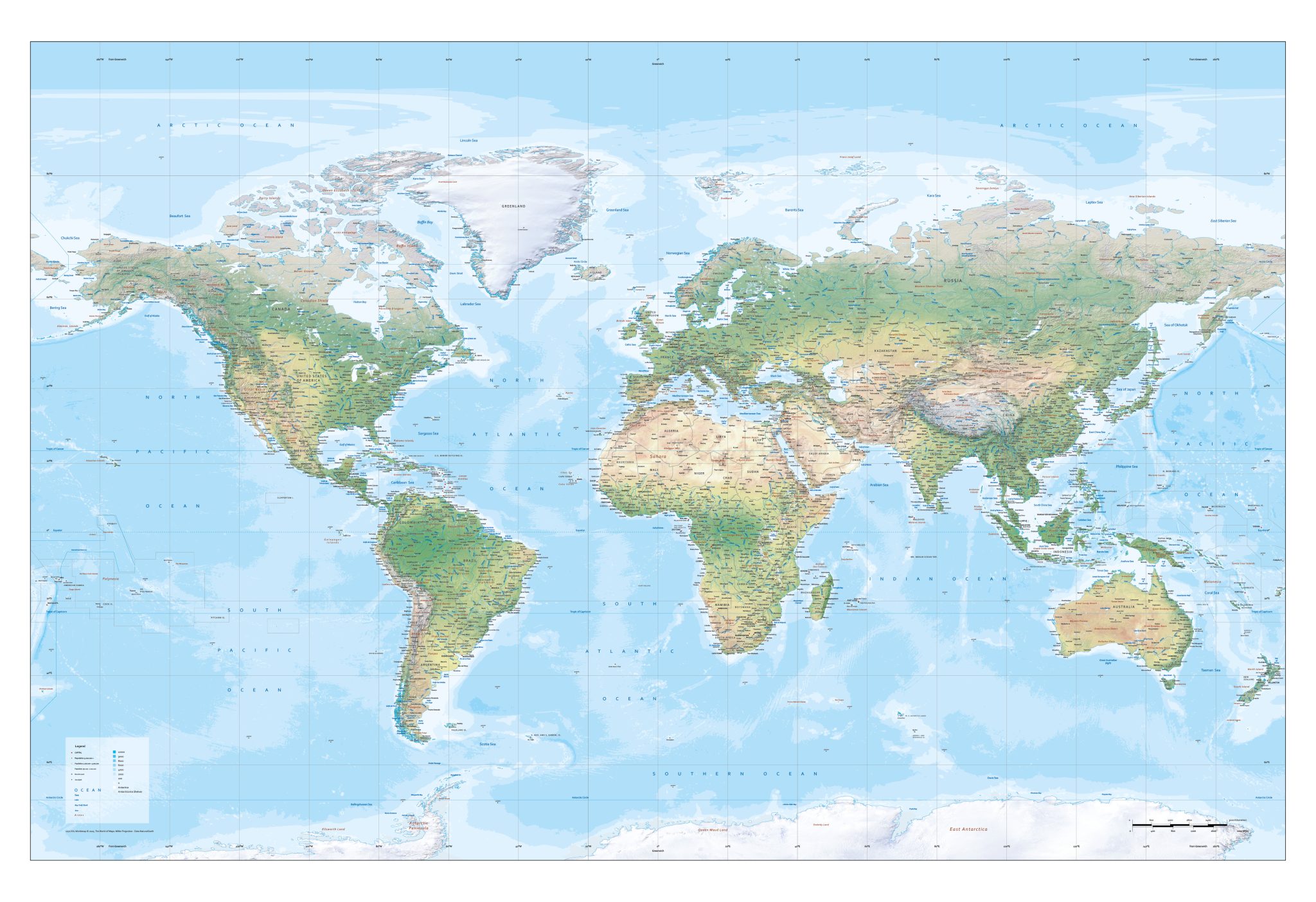
Physical / Natural World Maps – Terrain, relief, rivers and landscapes shown with precise detail.
-
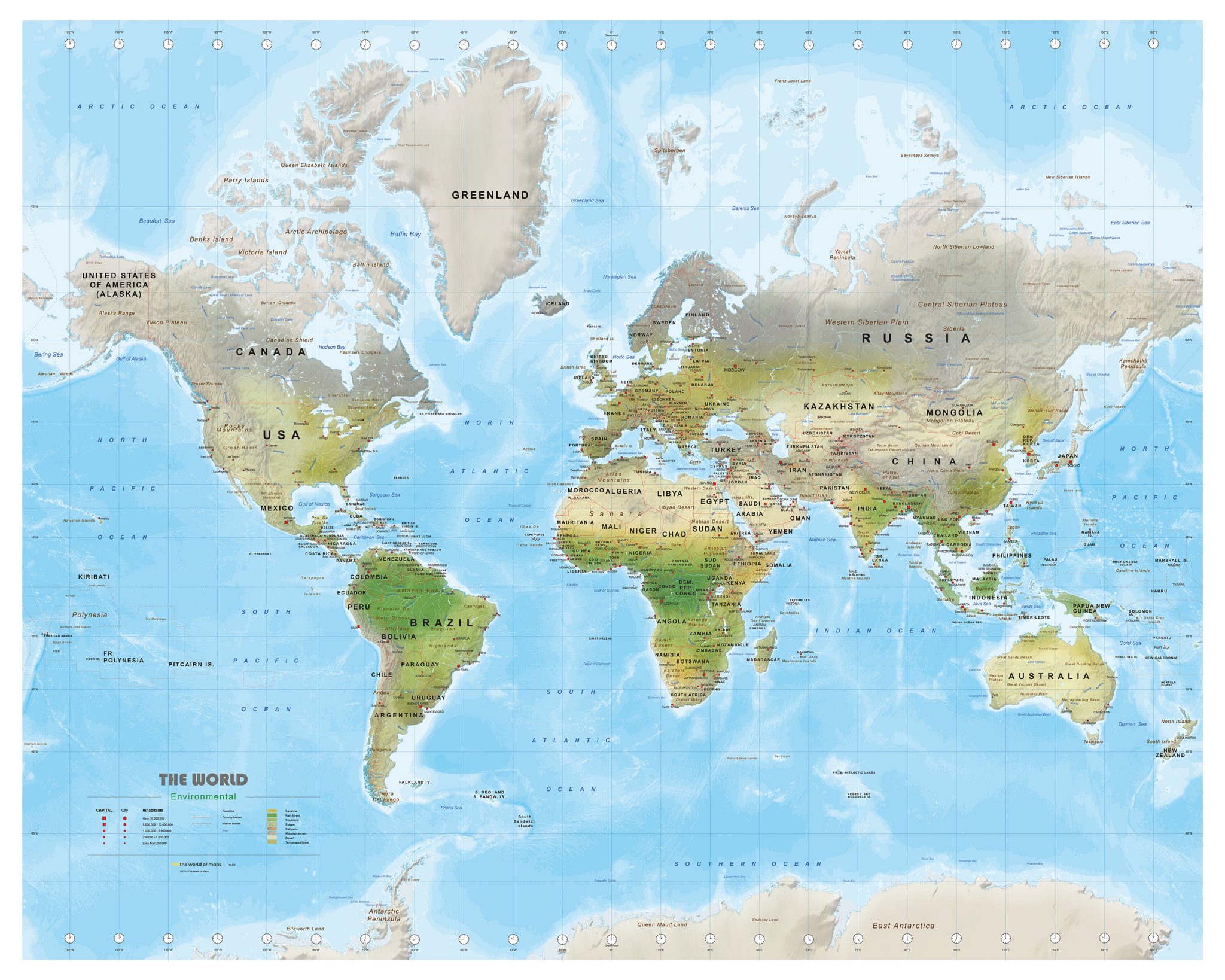
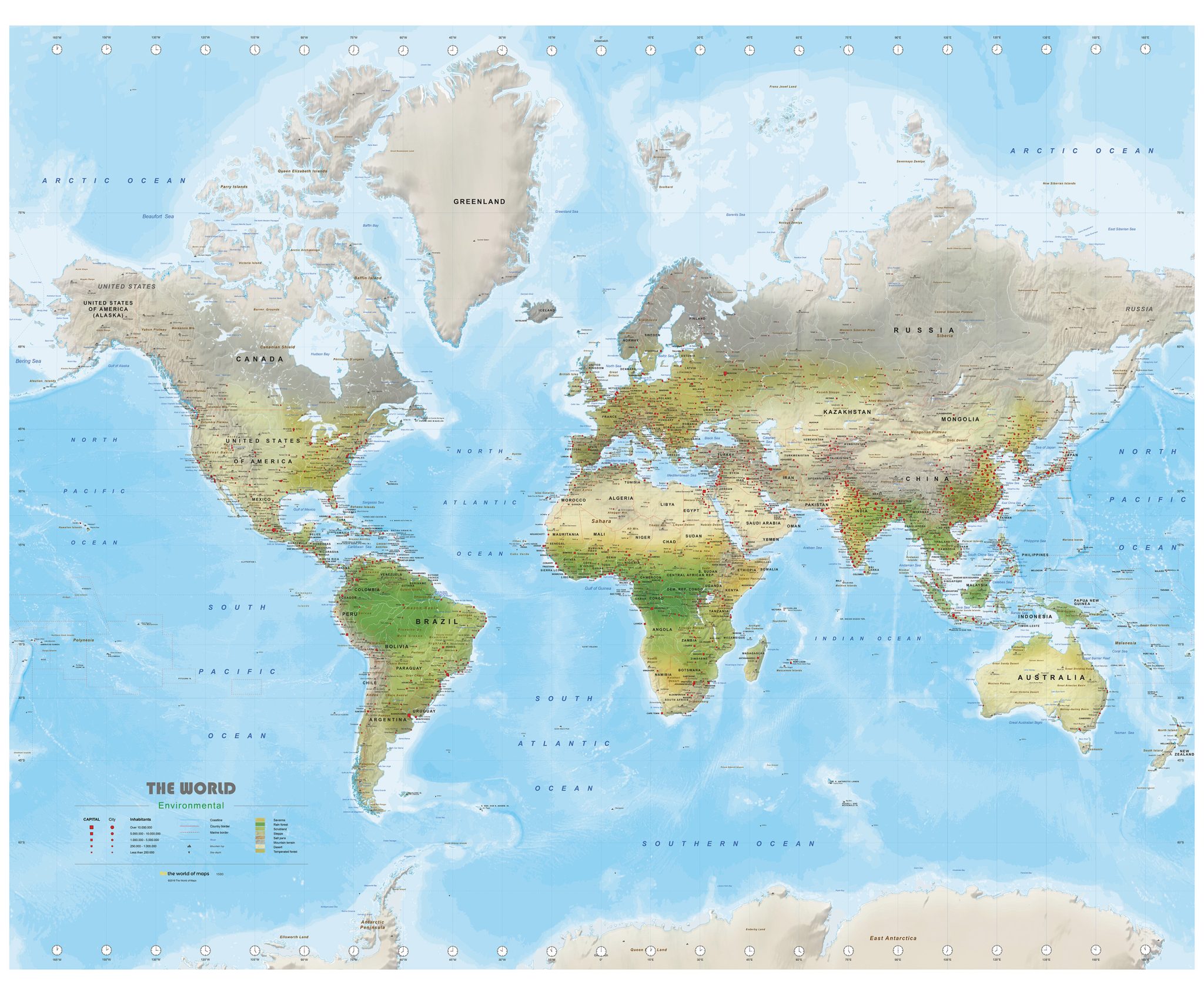
Environmental / Hypsometric Maps – Height and terrain visualised through colour gradients.
Each map is available in multiple sizes and visual editions, so you can easily select the style that best fits your purpose.
Flexible and Professional Vector Files
All maps are supplied as EPS & JPG files, ensuring maximum flexibility:
-
scalable without loss of quality
-
suitable for large-format printing
-
perfect for graphic design and editorial use
-
compatible with Adobe Illustrator, Photoshop and most design tools
Accurate Projections for Every Need
Our world maps use internationally recognised map projections, including:
-
Mercator – popular for navigation and general reference
-
Robinson – balanced and visually appealing for educational use
-
WGS84 – the global standard used in GIS applications
Each projection offers its own benefits depending on your project requirements.
Custom Adjustments Available
If you need a world map with specific colours, labels, languages or custom details, we can create a tailored version for you. Simply contact us at info@theworldofmaps.com
Why Choose The World of Maps
✔ High-quality EPS & JPG vector downloads
✔ Suitable for print, design and education
✔ Multiple styles, projections and detail levels
✔ More than 30 years of cartographic expertise
✔ Custom modifications available on request