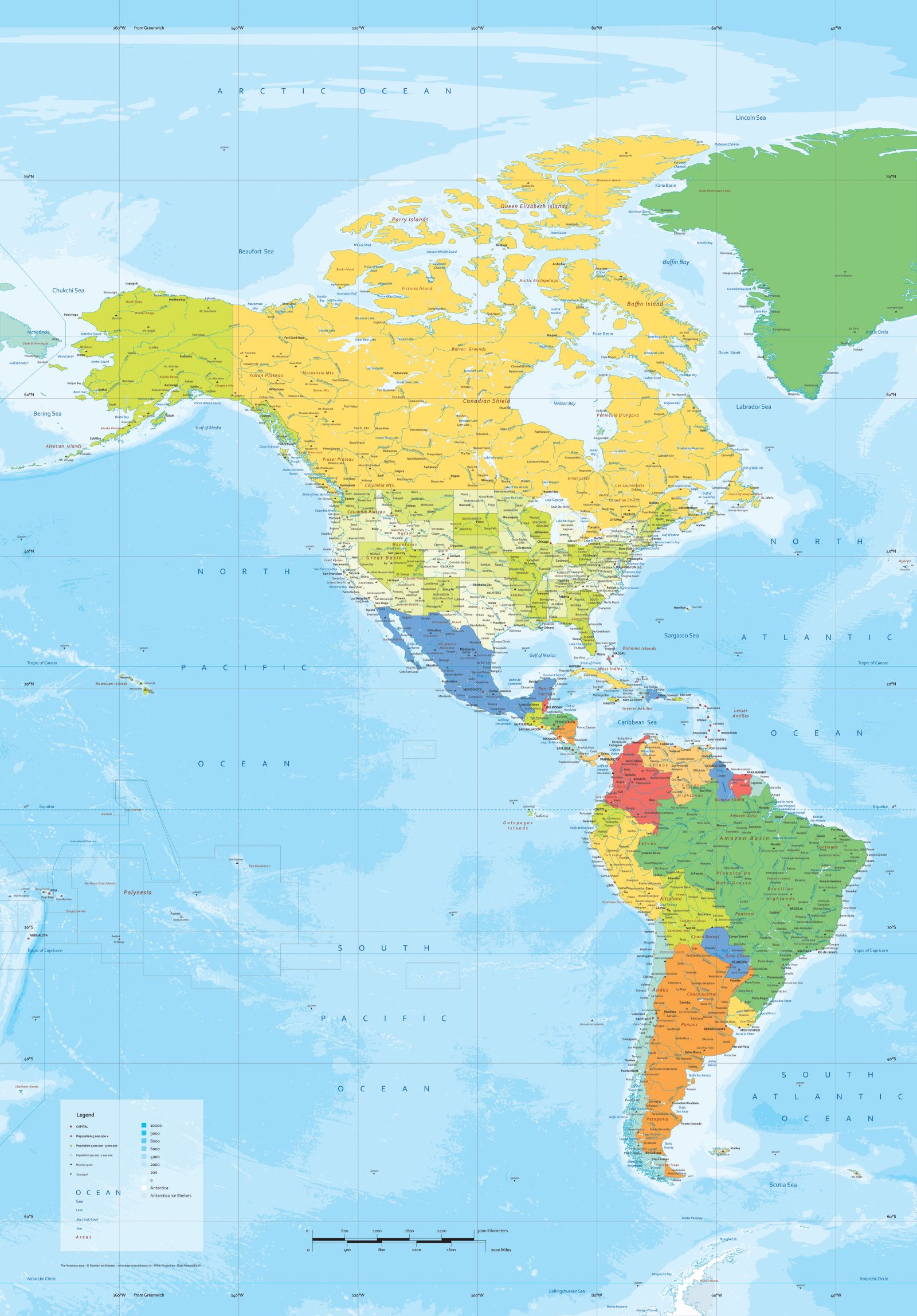
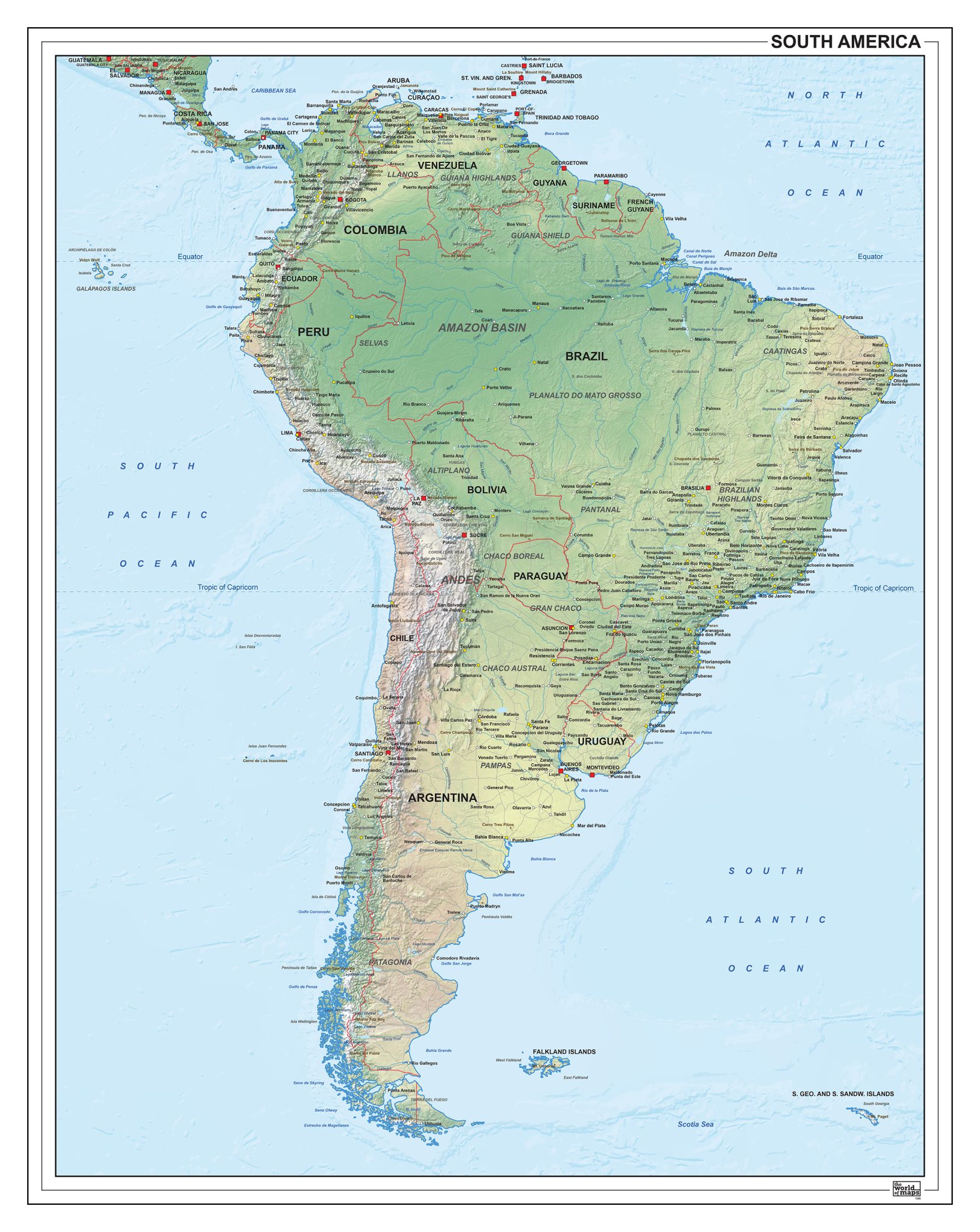
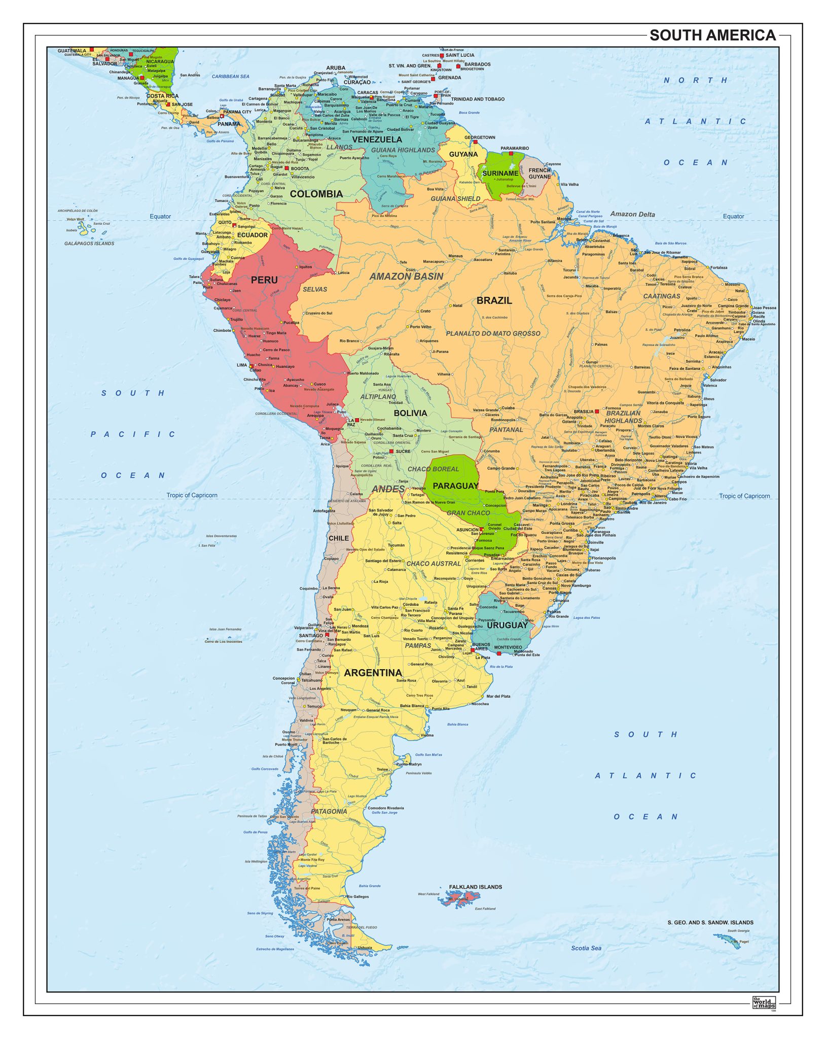
This collection presents a wide selection of maps covering South America in both political and physical styles. Political editions focus on national boundaries and country divisions, while physical maps emphasise terrain, river systems and key natural features.
The range includes clear, simplified layouts as well as highly detailed map designs, allowing for different levels of geographic insight. Various visual styles and map formats are available, making this selection suitable for reference, study and visual presentation purposes.