- Delivered as EPS & JPG
- High-quality downloads
- Over 30 years of experience
✅ Diverse formaten
✅ Niet goed, geld terug
✅ Meer dan 30 jaar ervaring
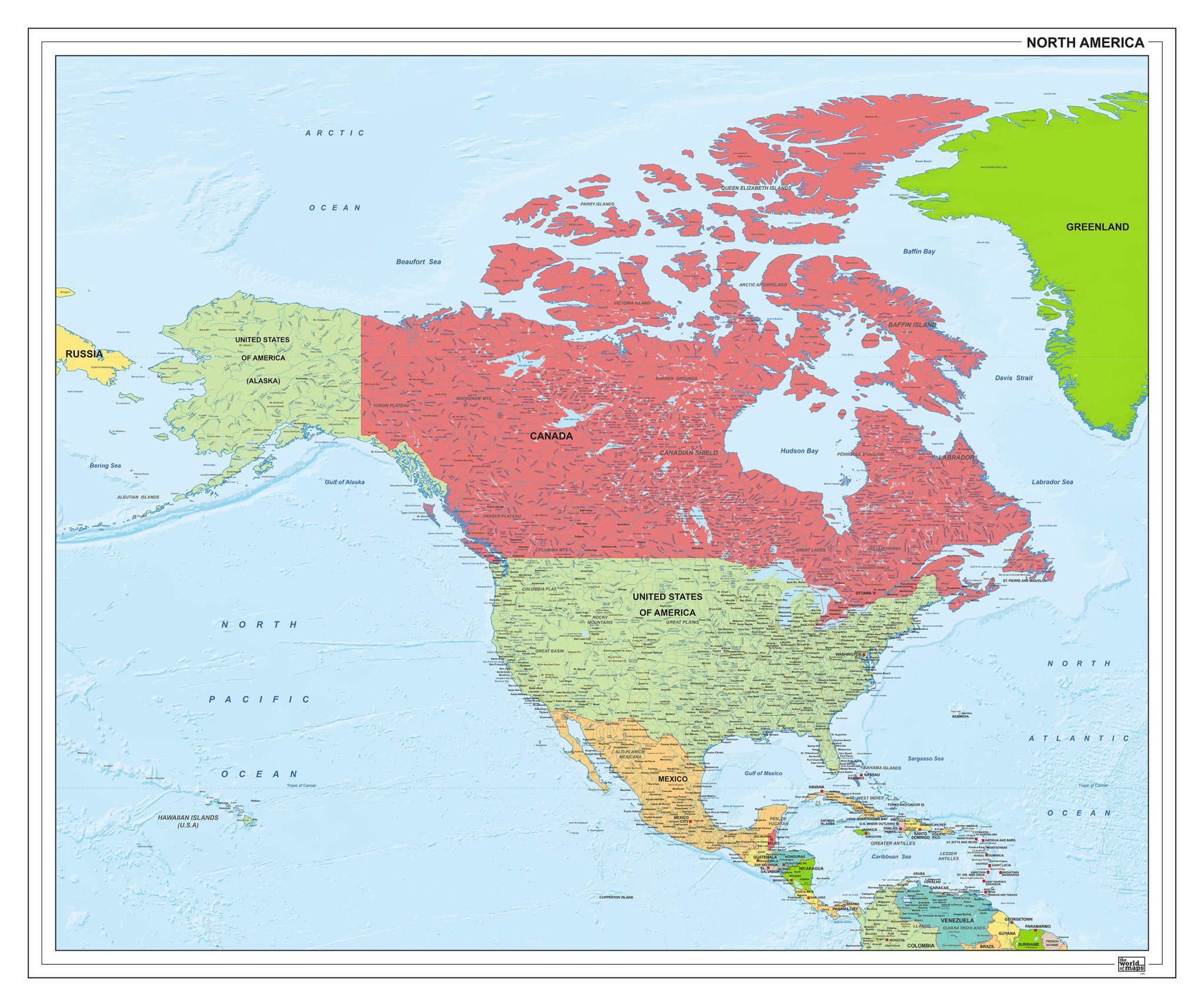
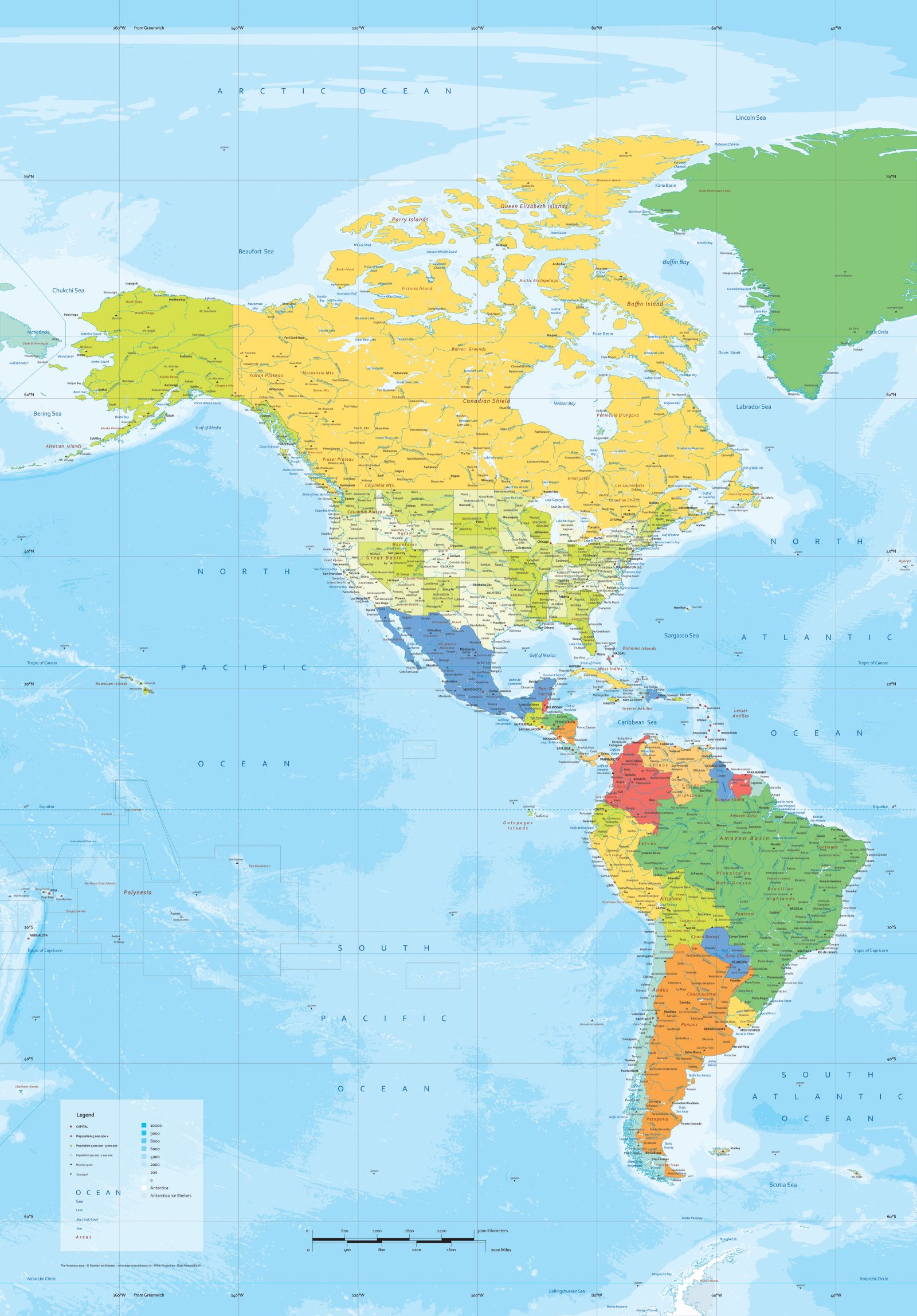
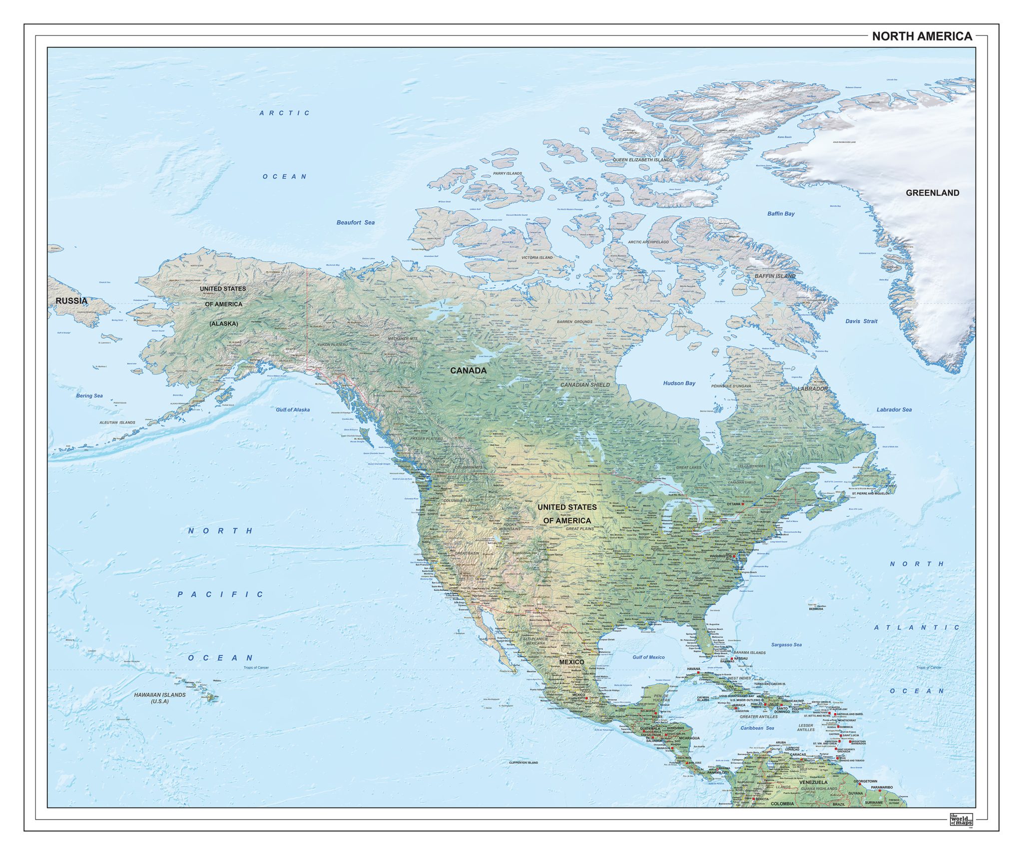
This section features a broad range of maps focused on North America, from full continental overviews to detailed maps of the United States. Political maps clearly present countries, borders and administrative divisions, while physical maps highlight relief, terrain and major landscape features.
In addition to continent-wide maps, the collection includes dedicated USA maps with clear representation of states and regional structure. The variety of styles and levels of detail makes these maps suitable for reference, analysis and visual presentation.
Professional, high-resolution vector files (EPS & JPG)
Accurate cartography across multiple projections
Suitable for education, publishing, design and research
Available in various styles: detailed, pastel, modern, scientific
More than 30 years of experience in cartographic production
Custom modifications available
If you need a map with specific colours, labels, languages or custom details, feel free to contact us at info@theworldofmaps.com — we’re happy to help.