- Delivered as EPS & JPG
- High-quality downloads
- Over 30 years of experience
✅ Diverse formaten
✅ Niet goed, geld terug
✅ Meer dan 30 jaar ervaring
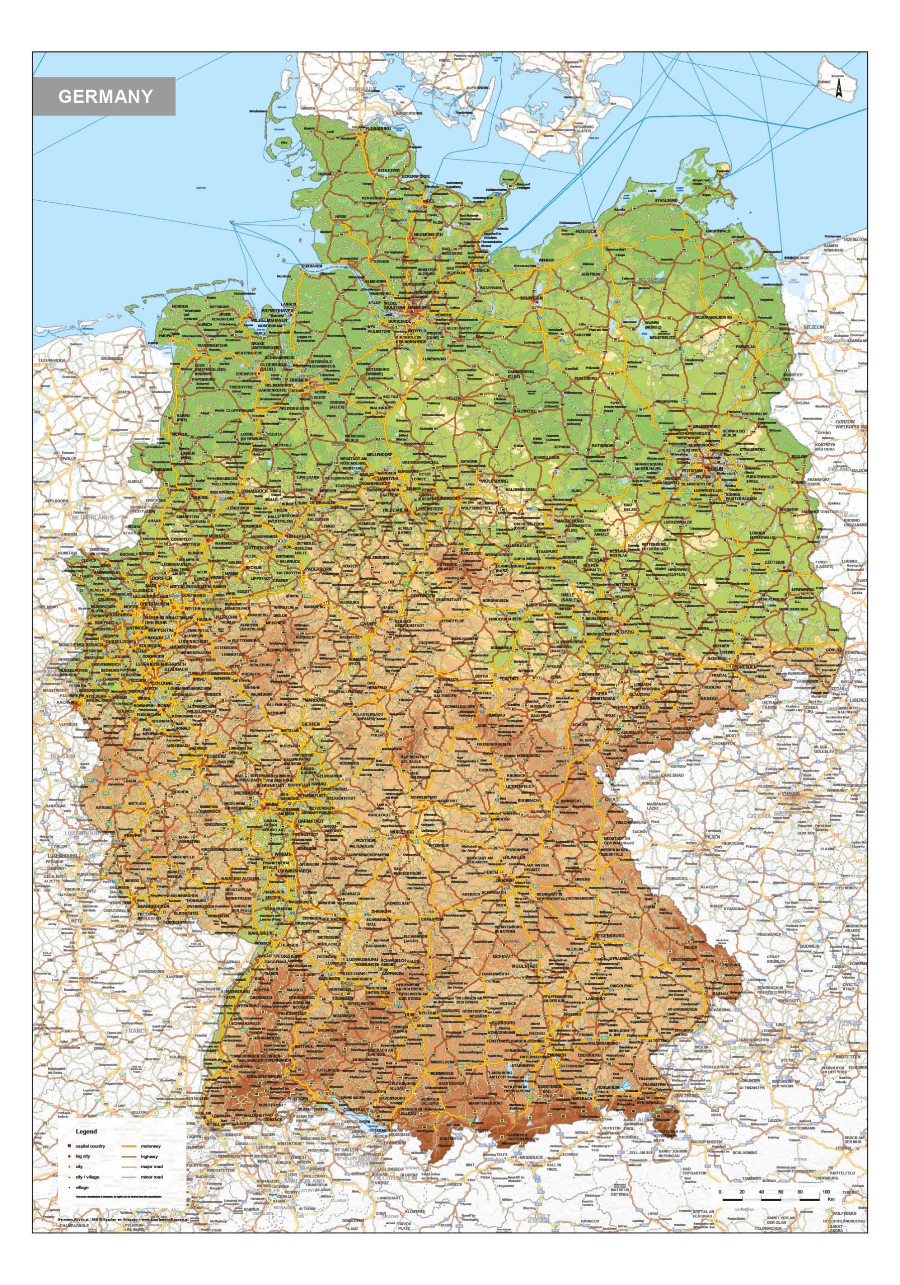
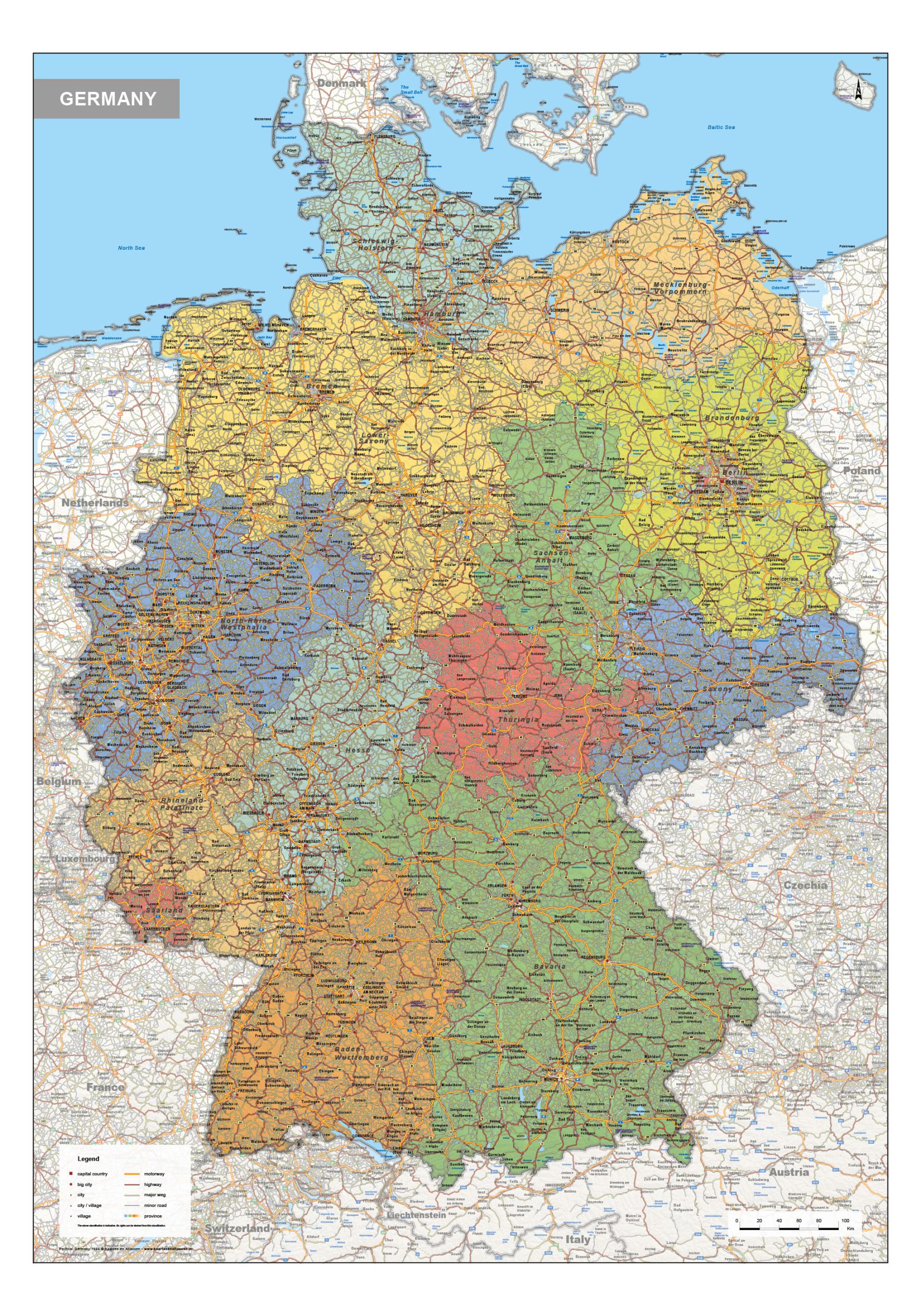
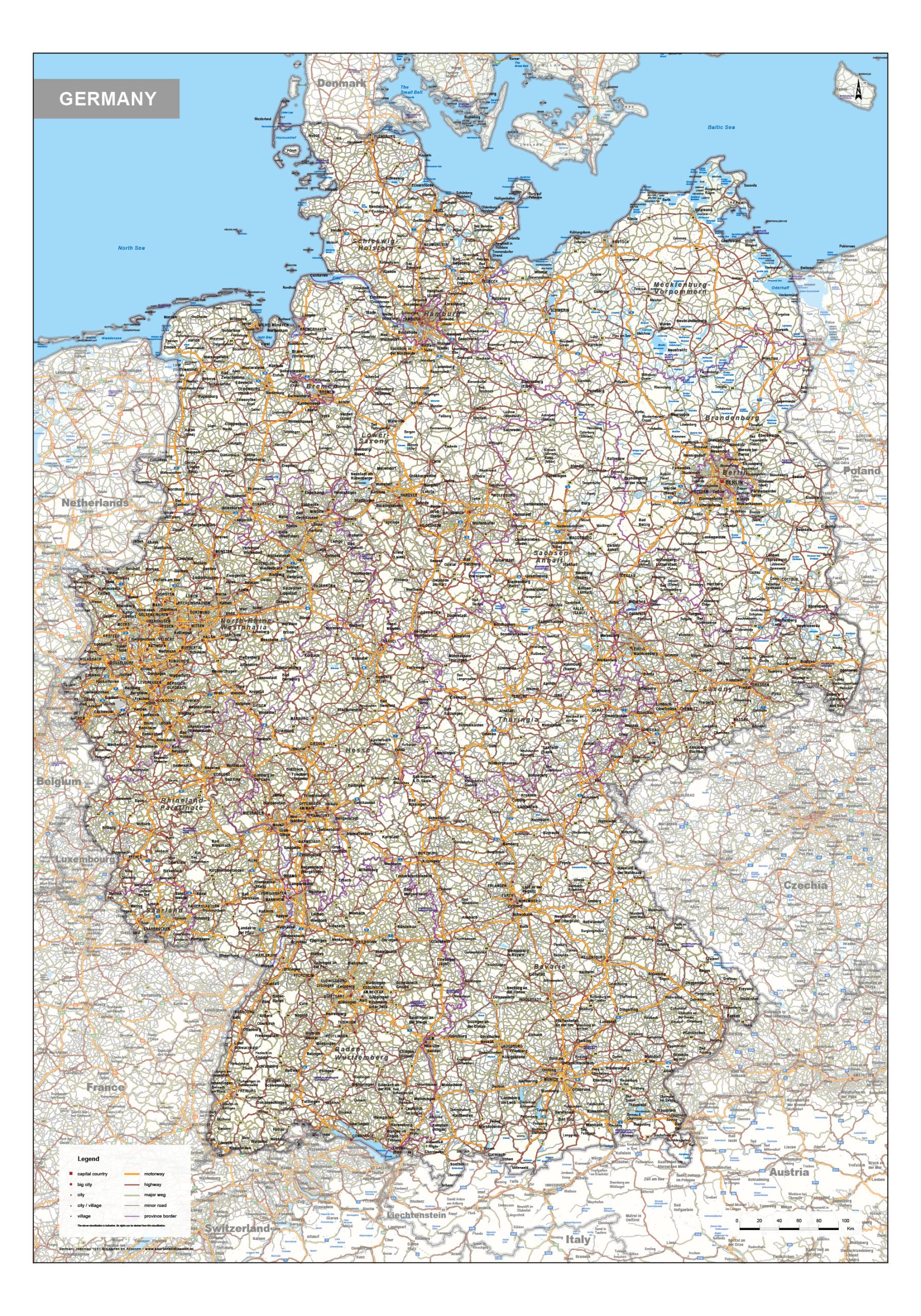
This category features a comprehensive selection of maps of Germany, including political, physical and road map editions. Political maps clearly present national and federal state boundaries, offering insight into Germany’s administrative structure. Physical maps focus on terrain and natural features such as mountain ranges, river systems and lowland areas. Road maps provide a detailed view of highways, major routes and regional connections, with many cities and transport corridors clearly shown.
Together, these maps offer a structured and reliable overview of Germany’s geography, supporting professional, educational and analytical use where clarity and accuracy are essential.
Professional, high-resolution vector files (EPS & JPG)
Accurate cartography across multiple projections
Suitable for education, publishing, design and research
Available in various styles: detailed, pastel, modern, scientific
More than 30 years of experience in cartographic production
Custom modifications available
If you need a map with specific colours, labels, languages or custom details, feel free to contact us at info@theworldofmaps.com — we’re happy to help.