High-quality vector downloads (EPS & JPG) for professional use
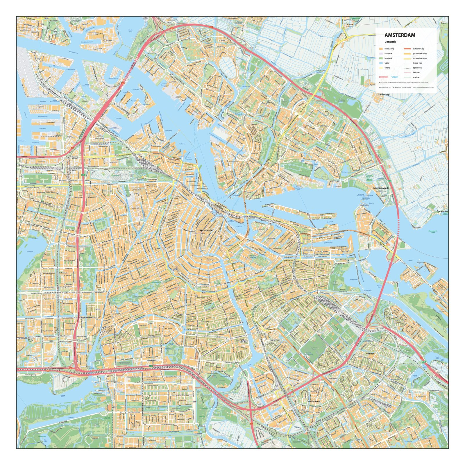
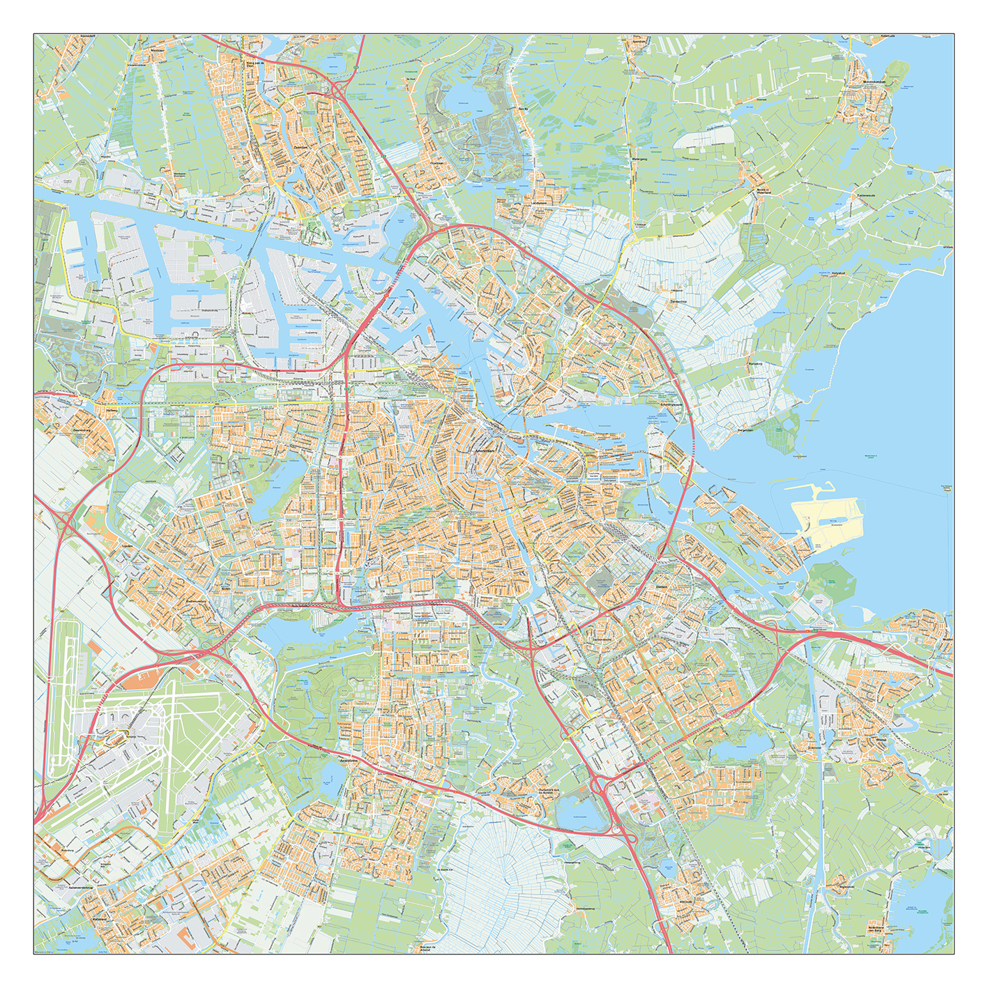
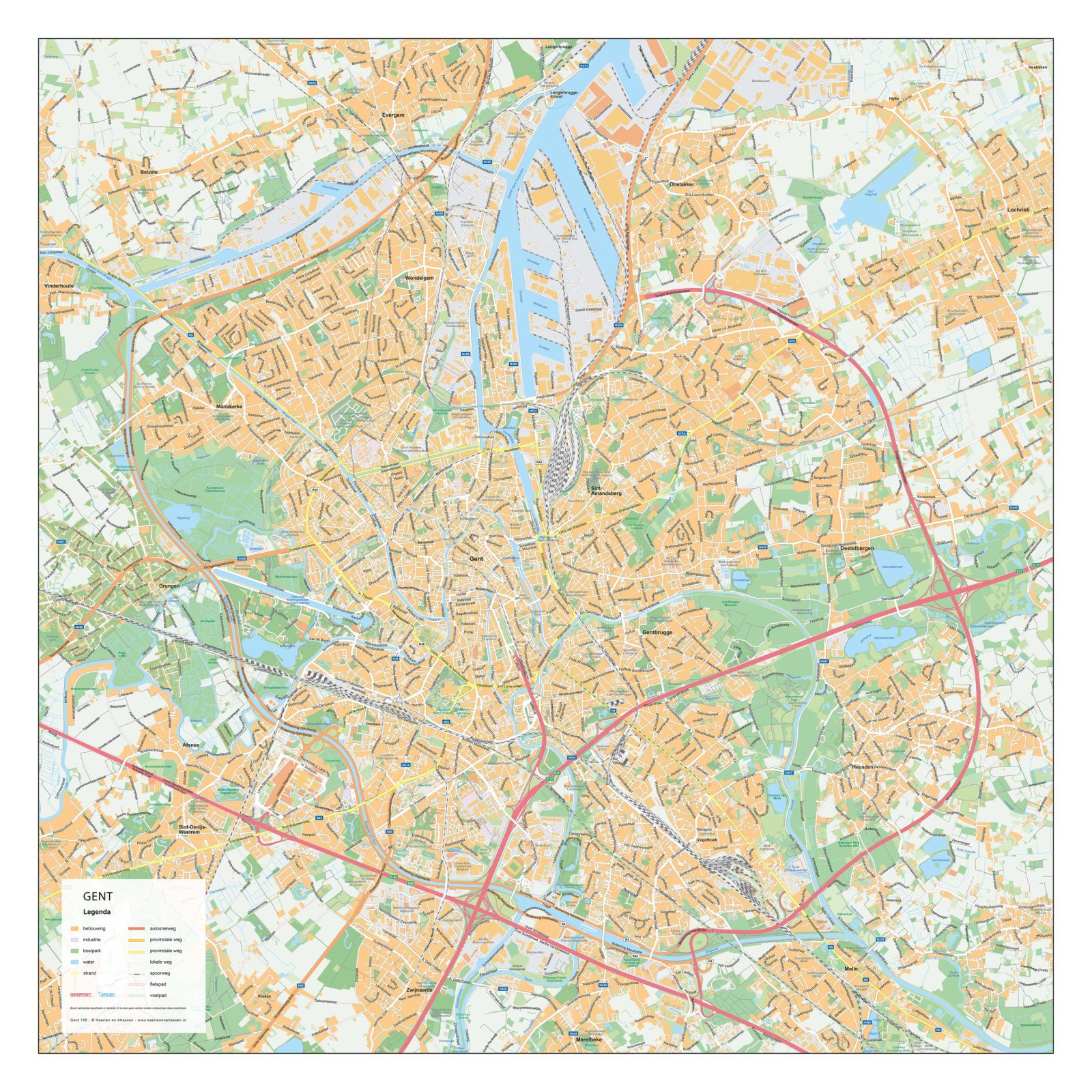
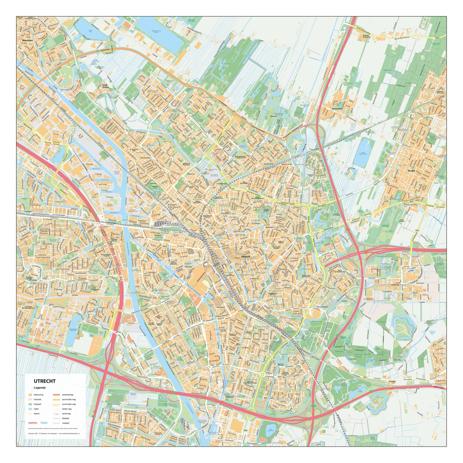
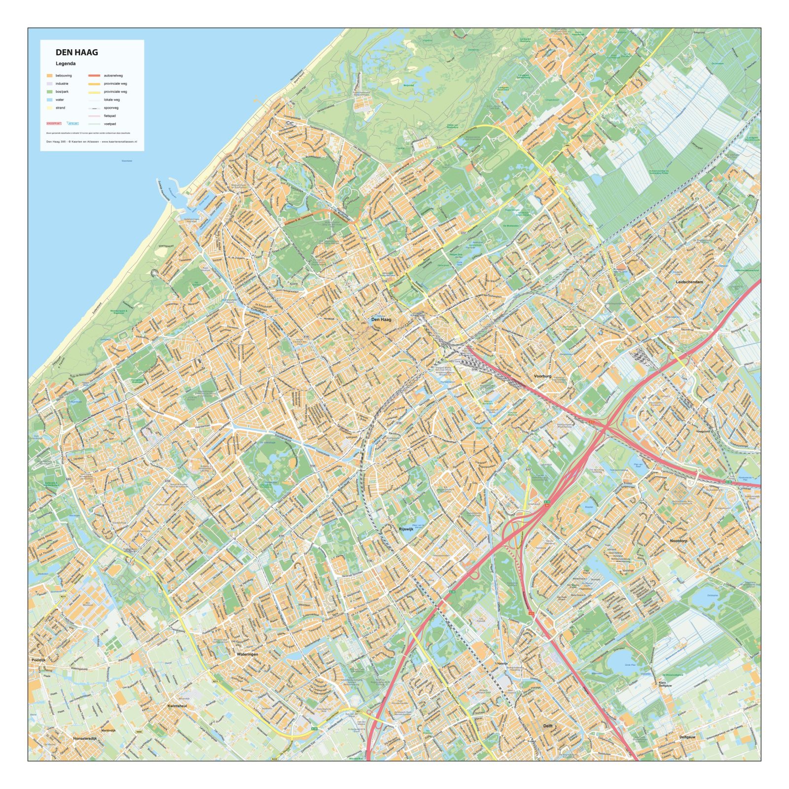
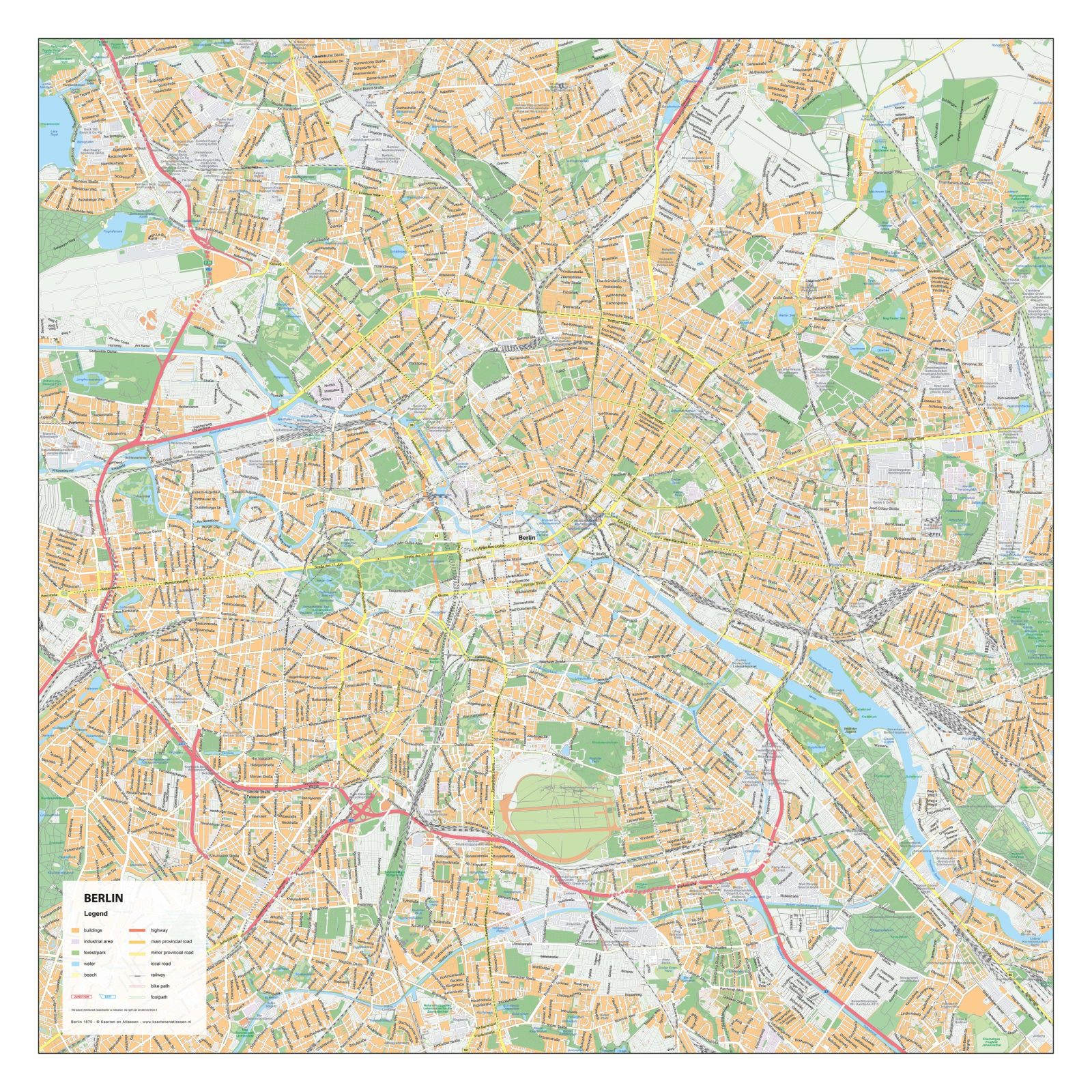
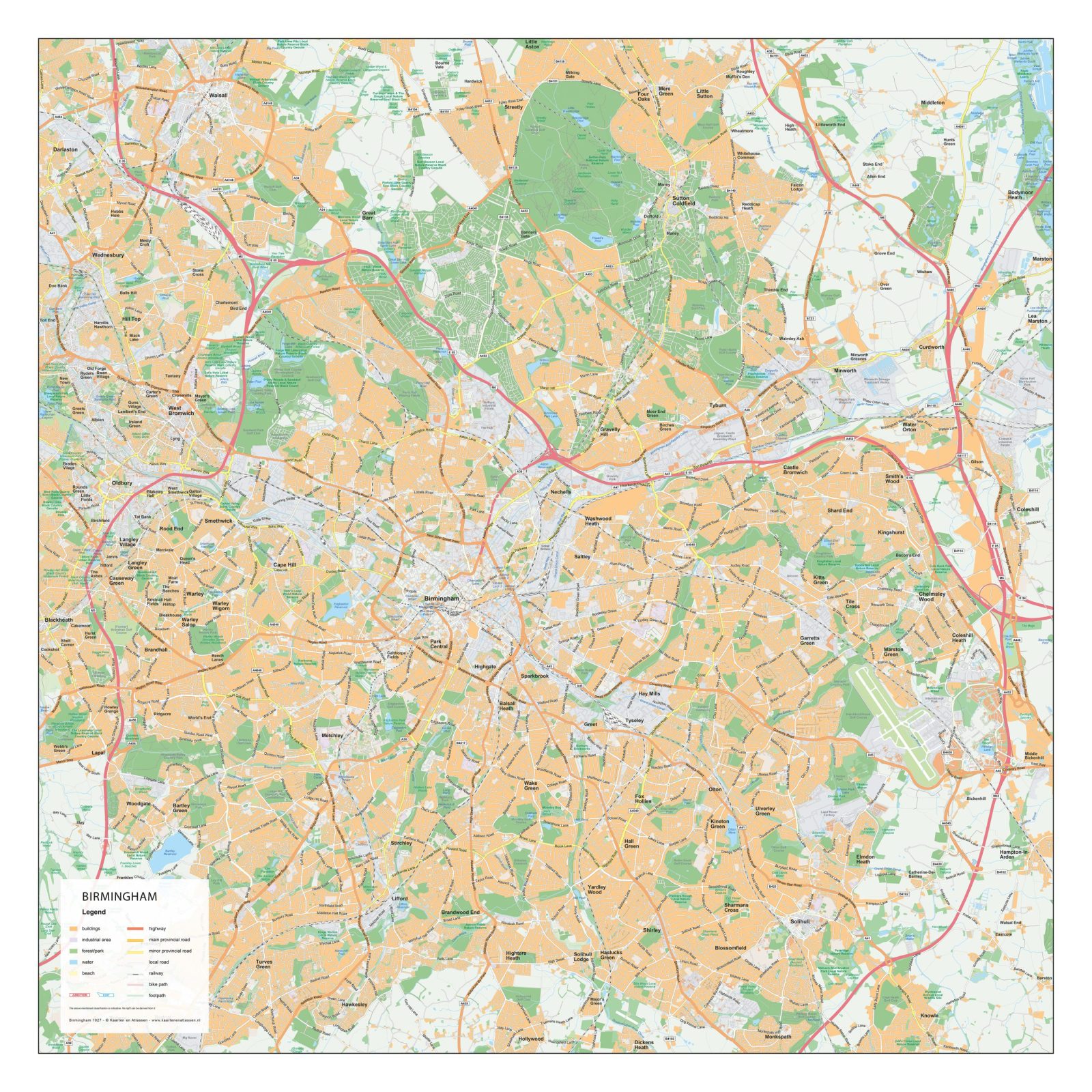
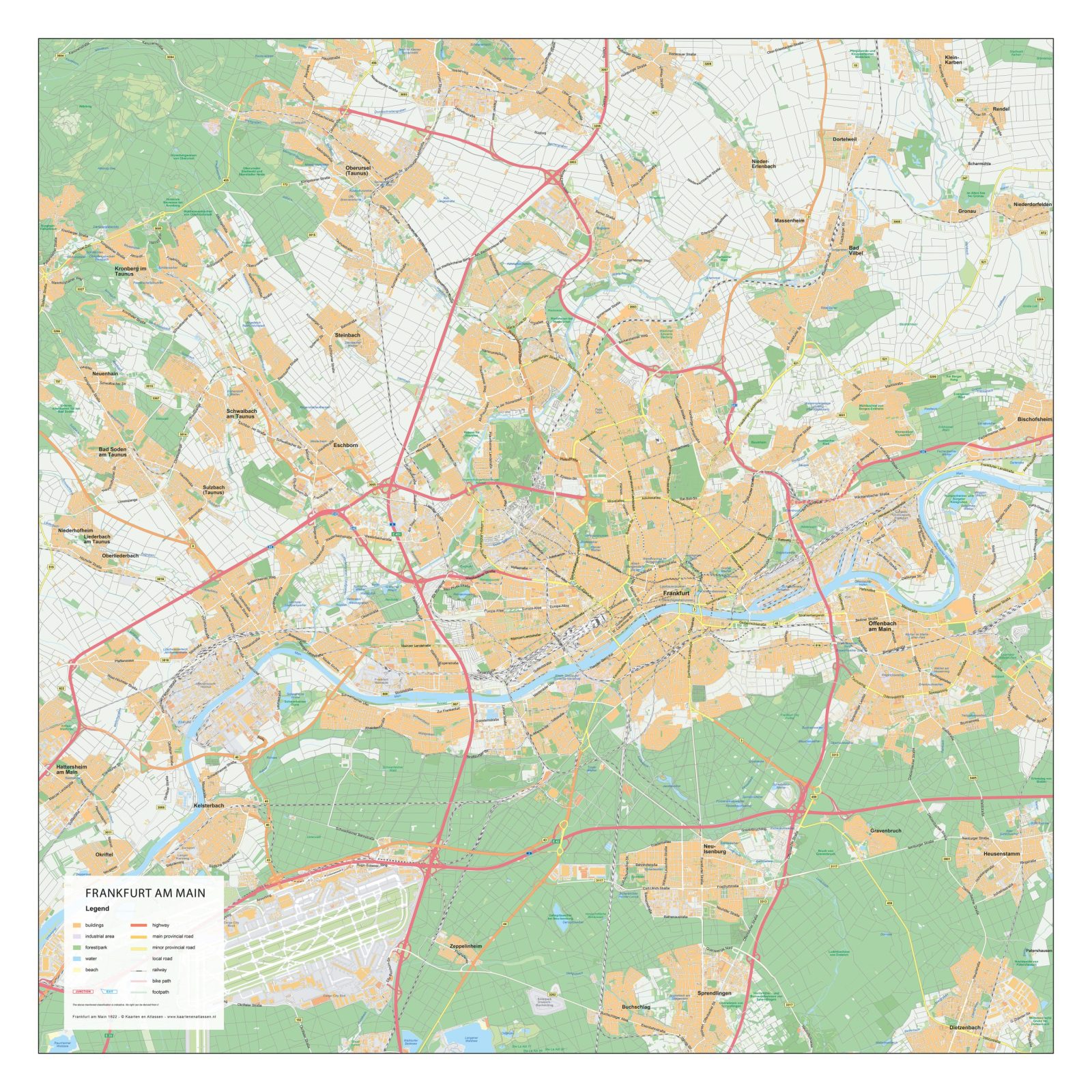
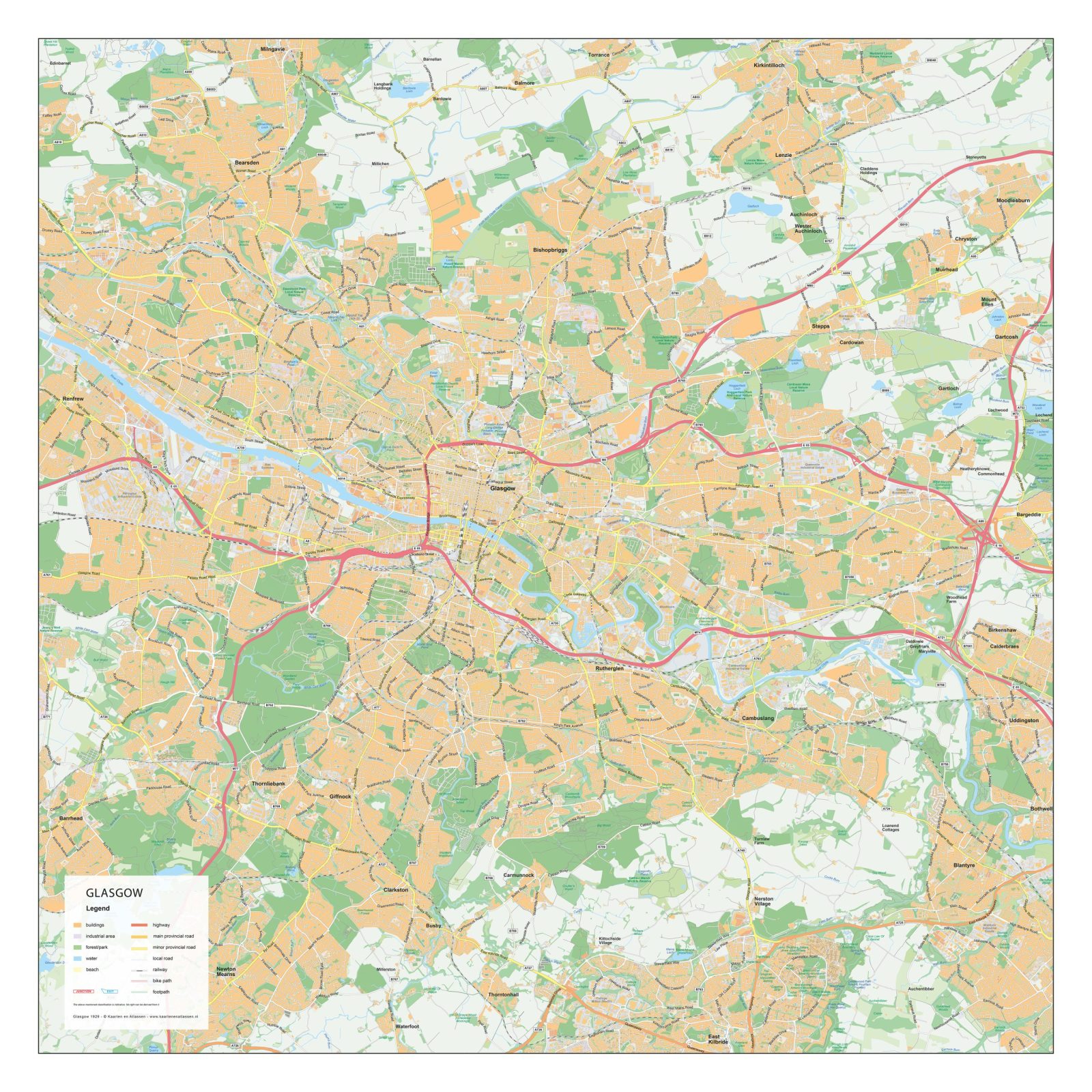
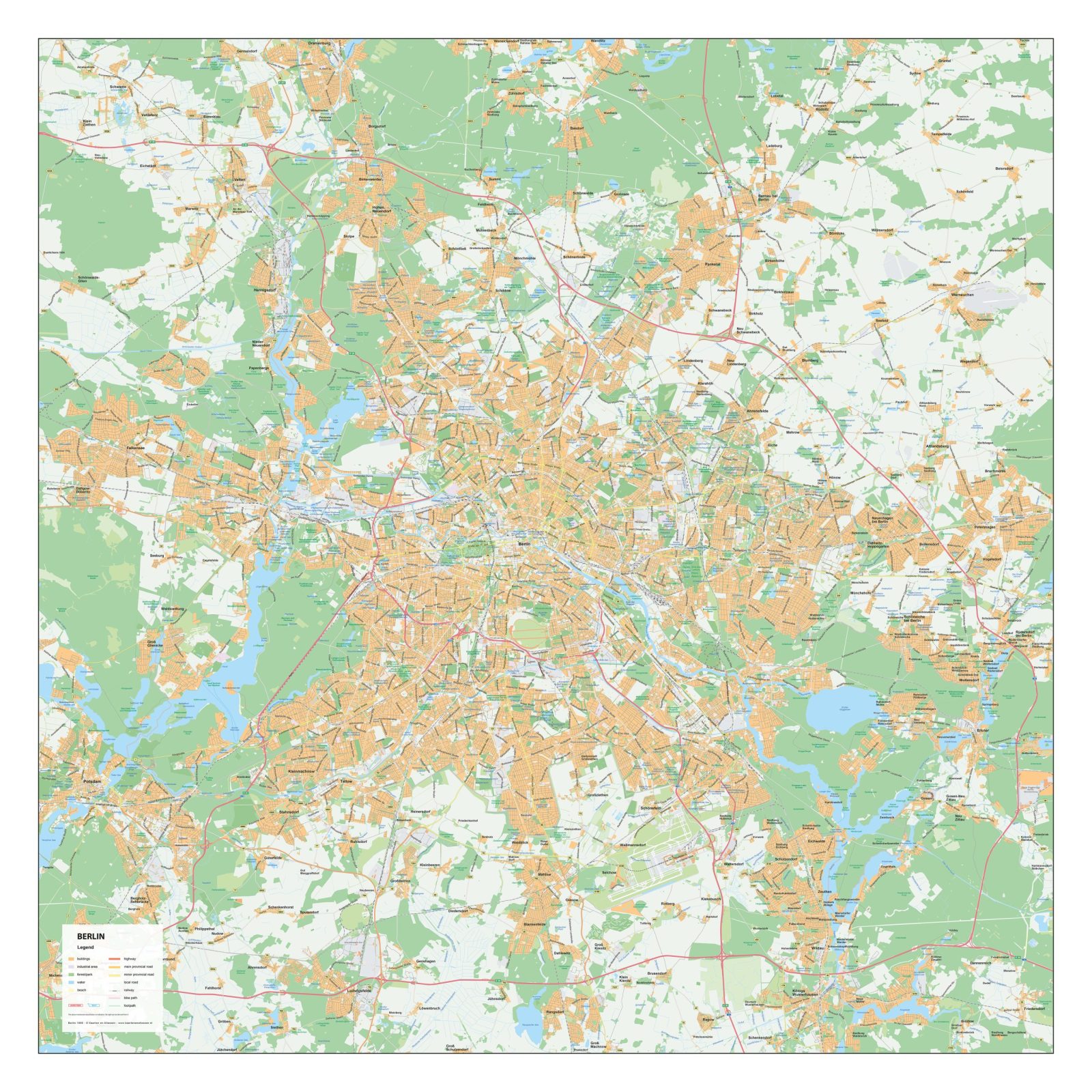
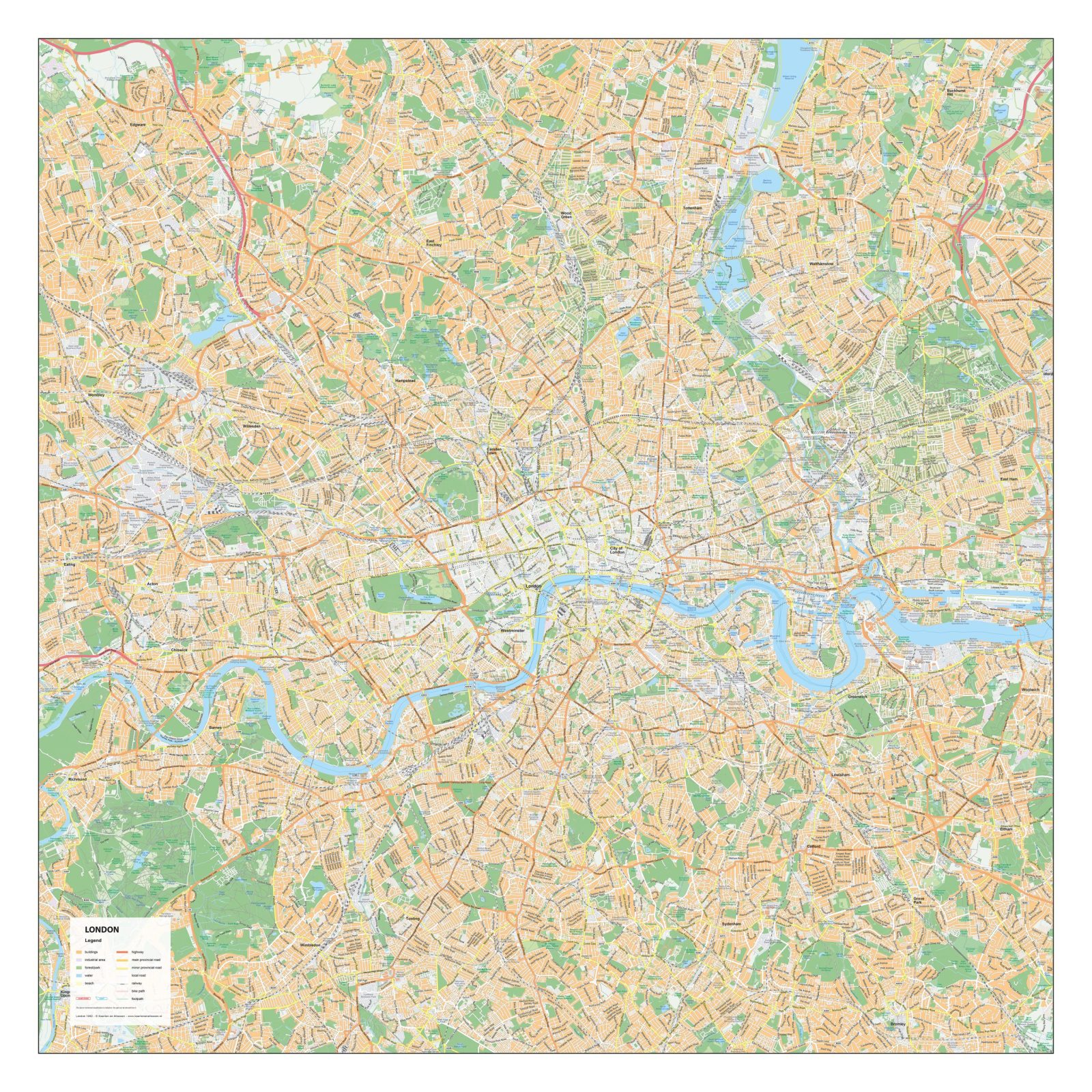
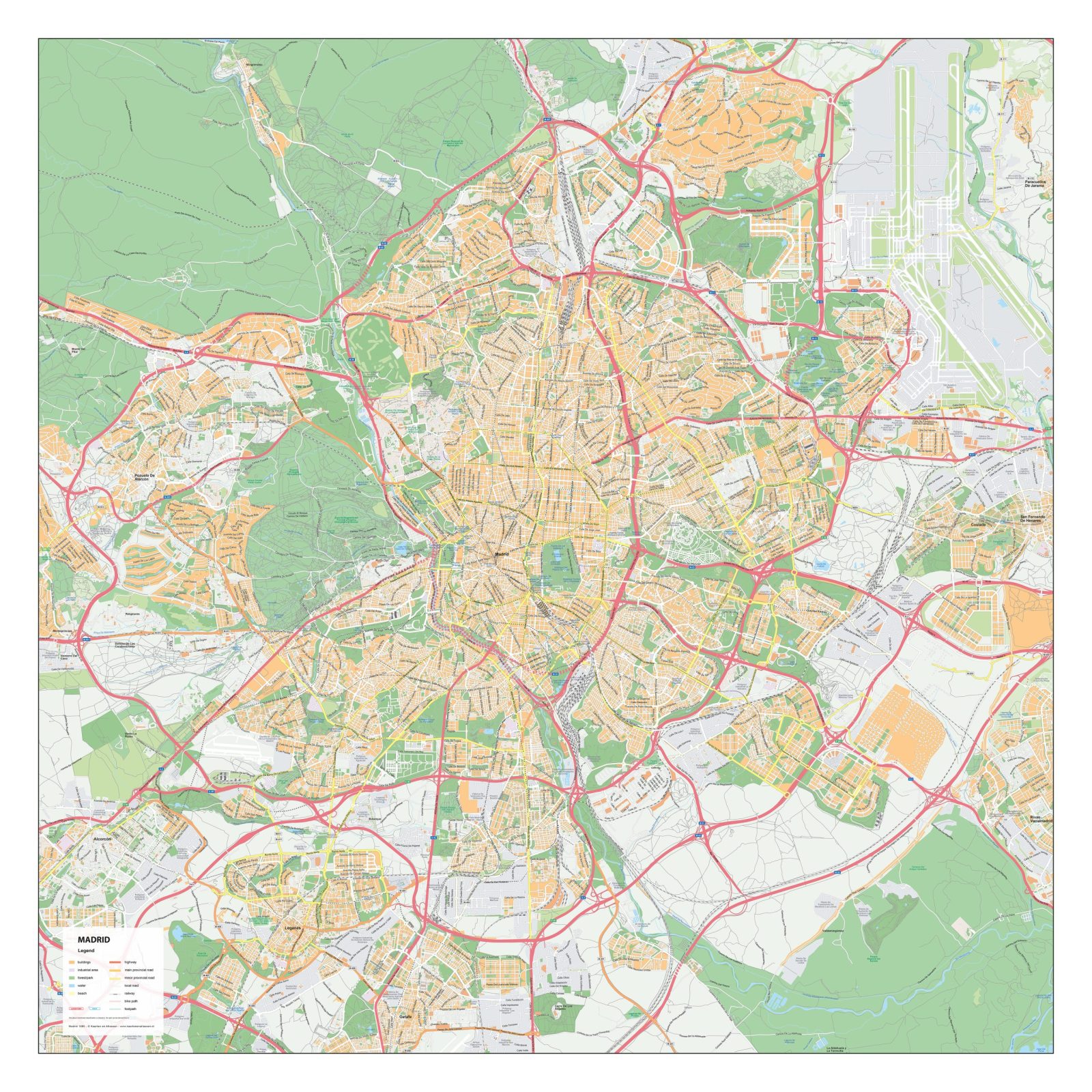
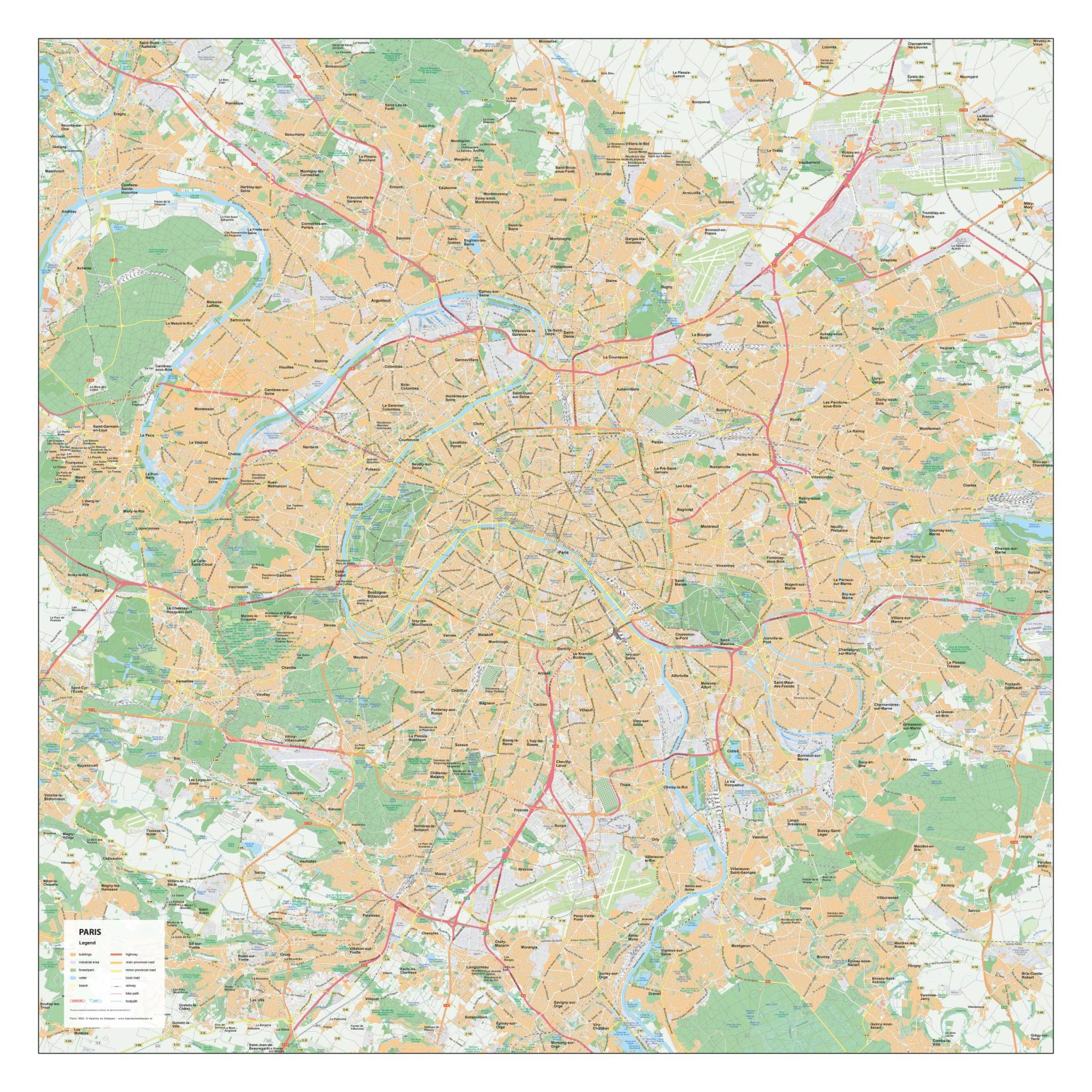
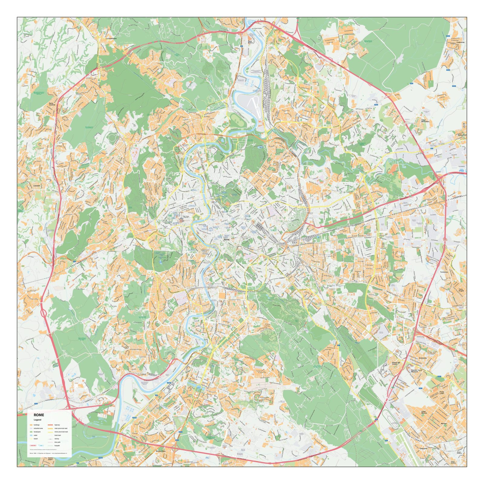
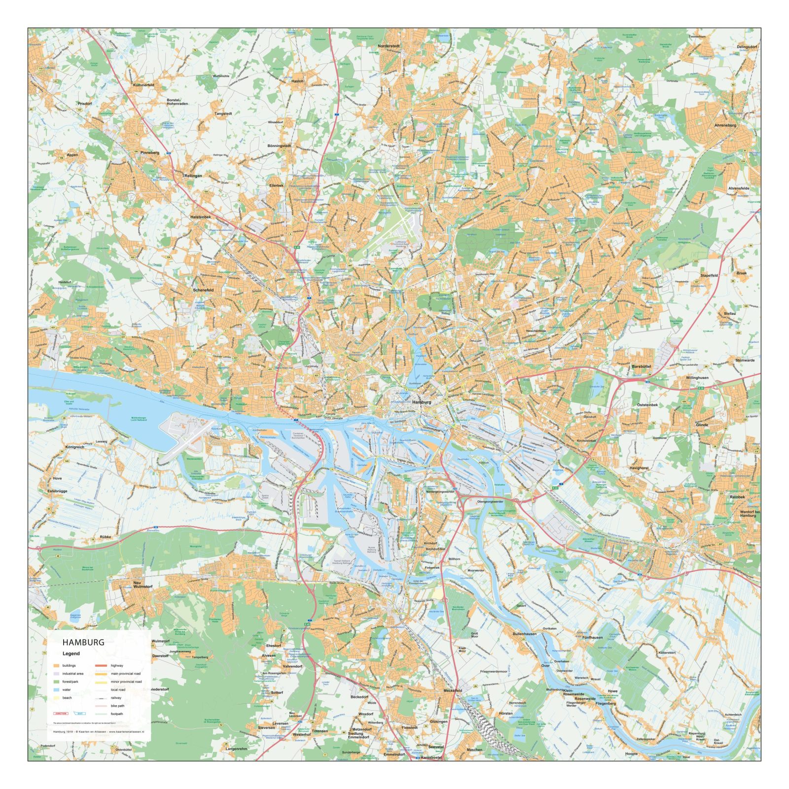
Detailed Street Maps of Major Cities. Our collection of city maps offers detailed layouts of streets, neighbourhoods, waterways and key urban features. Most maps focus on cities in the Netherlands and Belgium, but additional international cities are available as well. Each map provides a clear and accurate representation of the urban structure, suitable for design, publishing, education and professional use.
All maps are available as high-quality EPS & JPG vector downloads and can be customised on request.