- Delivered as EPS & JPG
- High-quality downloads
- Over 30 years of experience
✅ Diverse formaten
✅ Niet goed, geld terug
✅ Meer dan 30 jaar ervaring
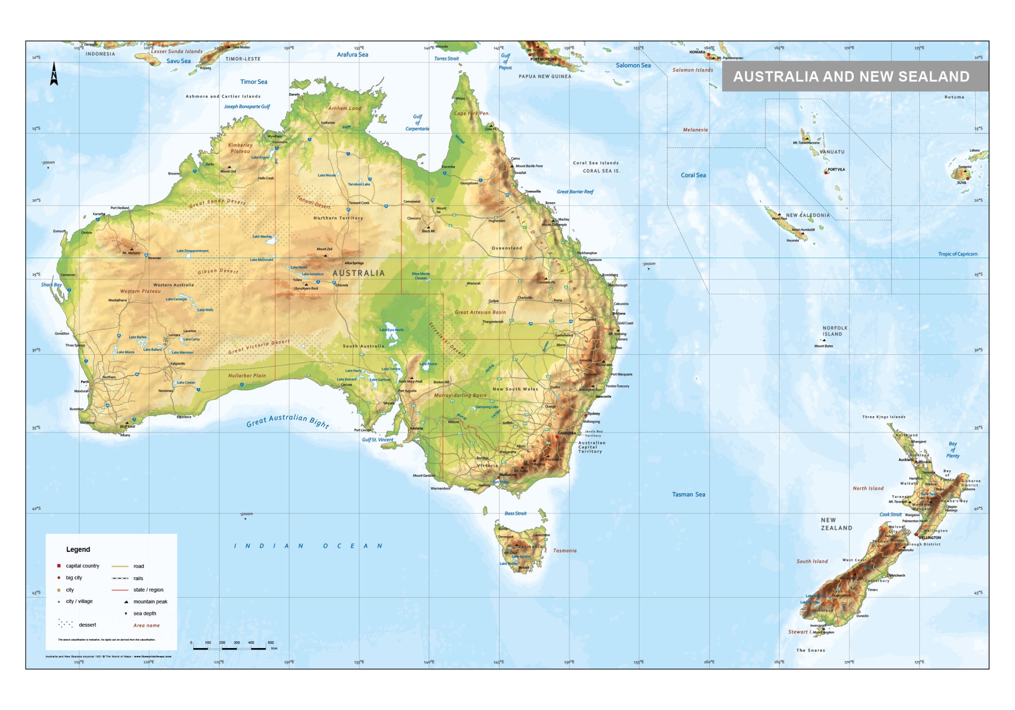
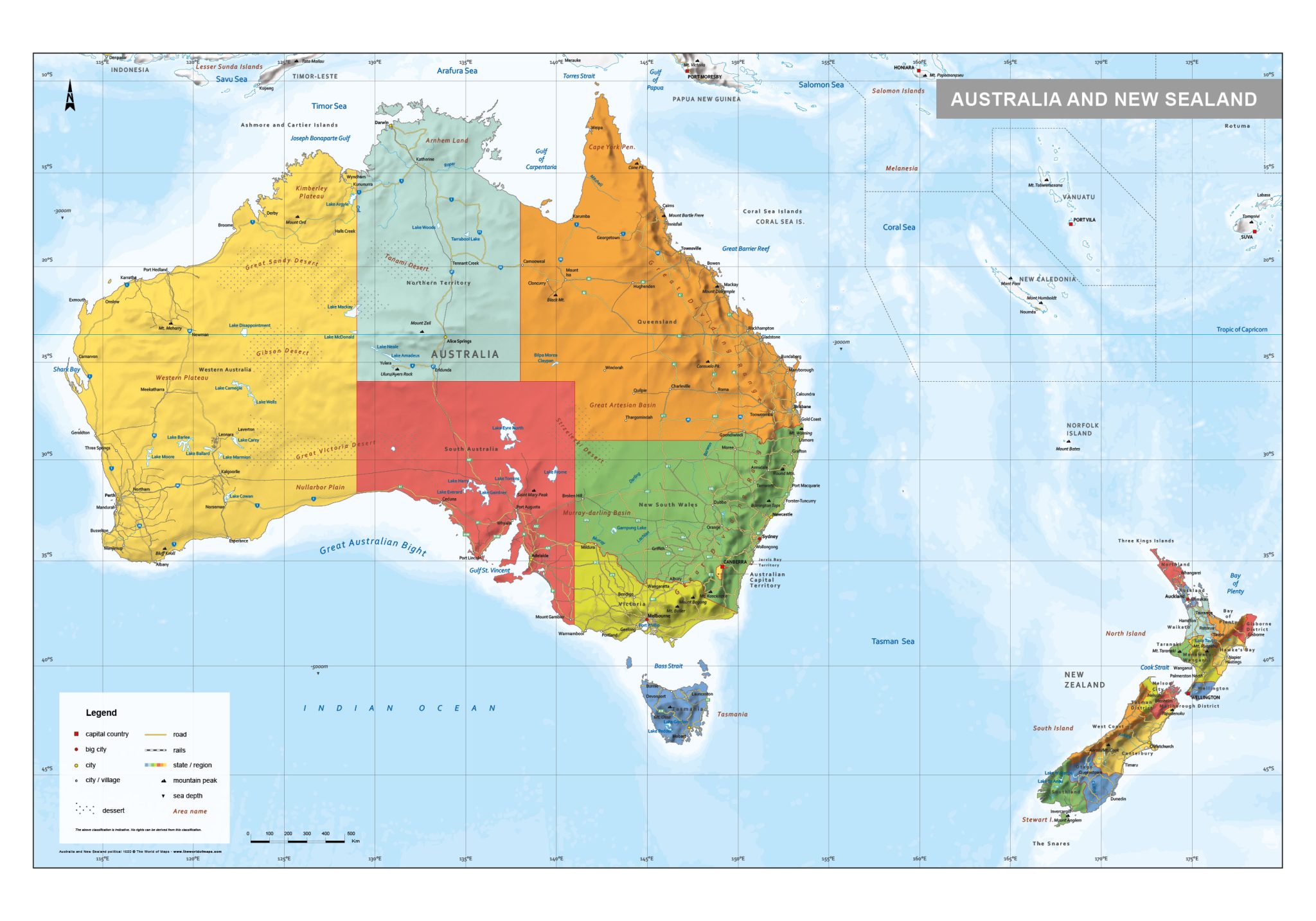
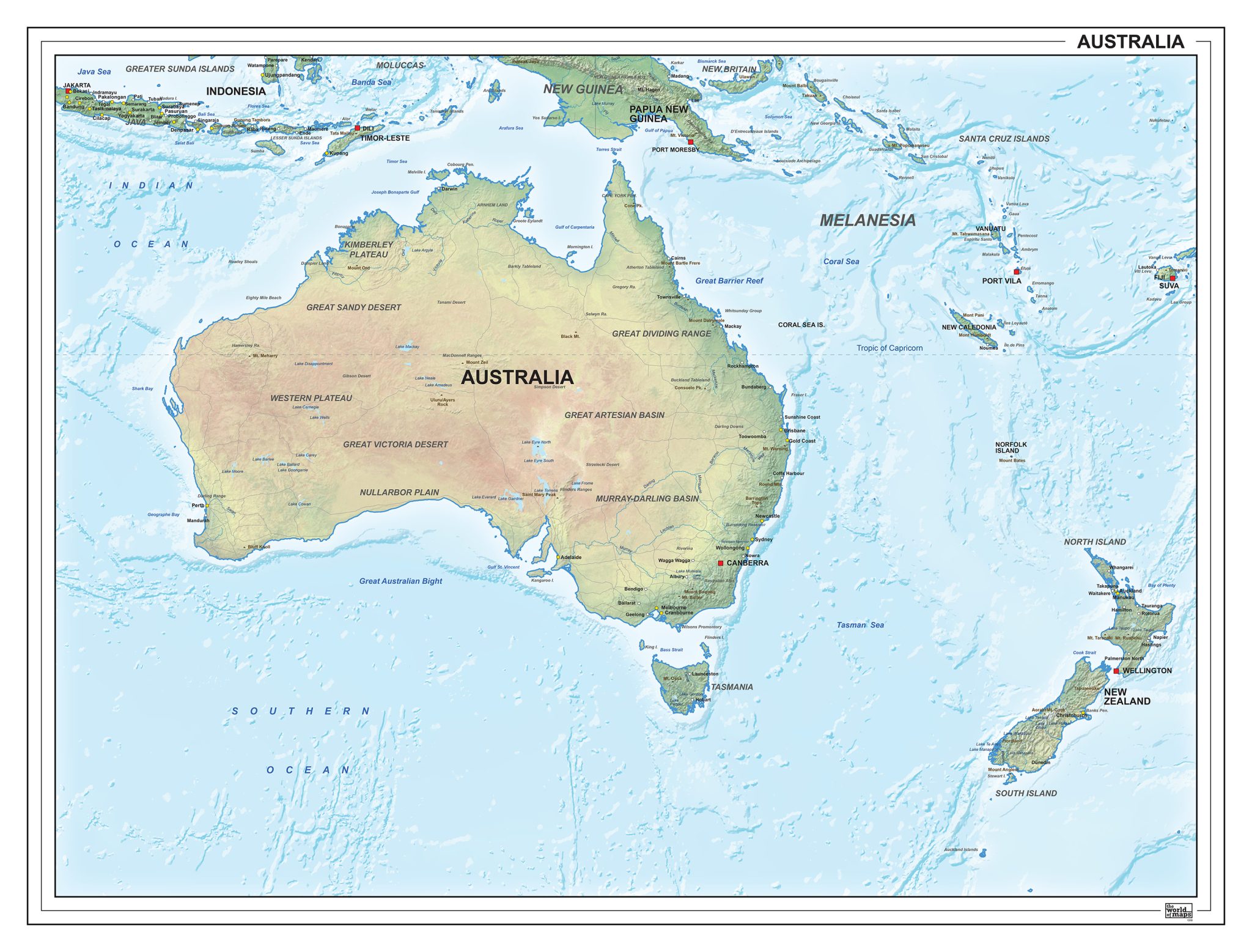
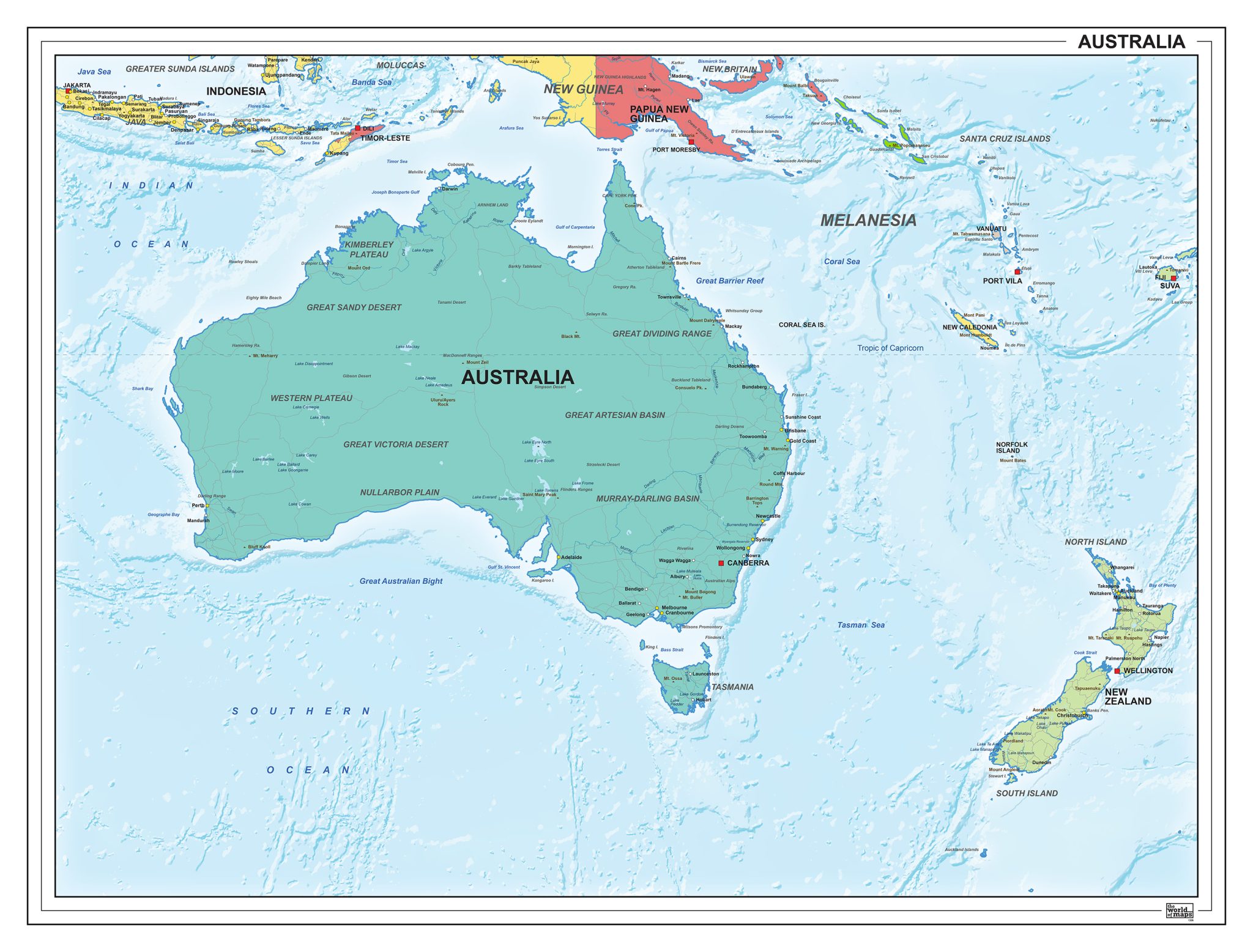
This section features maps of the Oceania region, including Australia and New Zealand. The collection includes political maps that clearly show countries and boundaries, as well as physical maps highlighting landscapes, terrain and relief.
In addition to continental overviews, there are more detailed maps focusing specifically on Australia or New Zealand. The selection offers a variety of map styles and detail levels, suitable for both broad regional insight and country-specific reference.
Professional, high-resolution vector files (EPS & JPG)
Accurate cartography across multiple projections
Suitable for education, publishing, design and research
Available in various styles: detailed, pastel, modern, scientific
More than 30 years of experience in cartographic production
Custom modifications available
If you need a map with specific colours, labels, languages or custom details, feel free to contact us at info@theworldofmaps.com — we’re happy to help.