- Delivered as EPS & JPG
- High-quality downloads
- Over 30 years of experience
✅ Diverse formaten
✅ Niet goed, geld terug
✅ Meer dan 30 jaar ervaring

There are many different types of maps, and not all of them serve the same purpose. Depending on context, a map may be intended for reference, education or geographic analysis. Some maps are designed to provide a clear overview, while others focus on detailed or thematic information. In this overview, the main map types are discussed, along with key aspects to consider when selecting the most suitable map for a specific use.
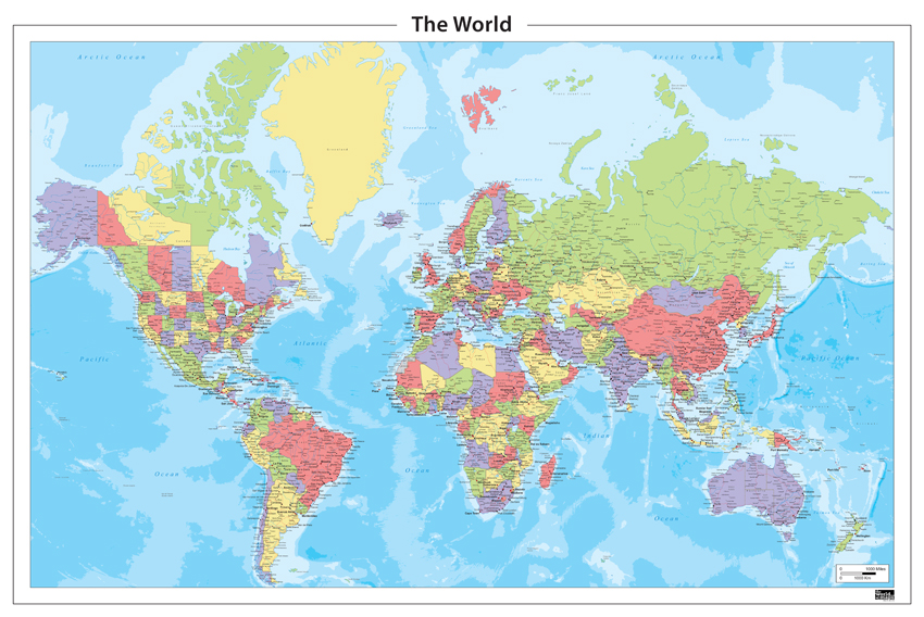
Political maps show national borders, country names, capital cities and, in many cases, major urban centres. They are commonly used in educational contexts as well as in professional environments where international orientation is important.
By focusing on administrative divisions and clearly labelled locations, political maps provide a structured overview that supports geographic understanding and comparison across regions.
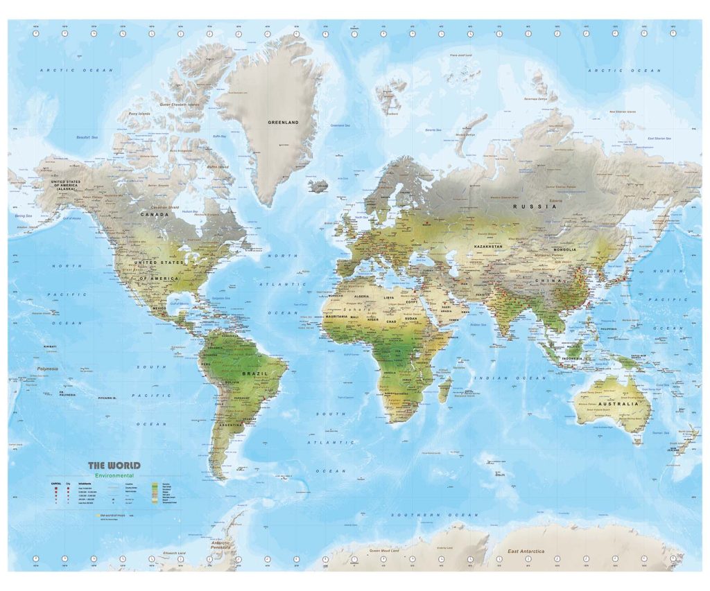
Physical maps focus on the natural and environmental features of a region, such as mountains, rivers, elevation and lowland areas. Colour shading is commonly used to indicate differences in height and terrain.
These maps are widely used in educational contexts and as a supporting resource for geographic learning and spatial understanding.
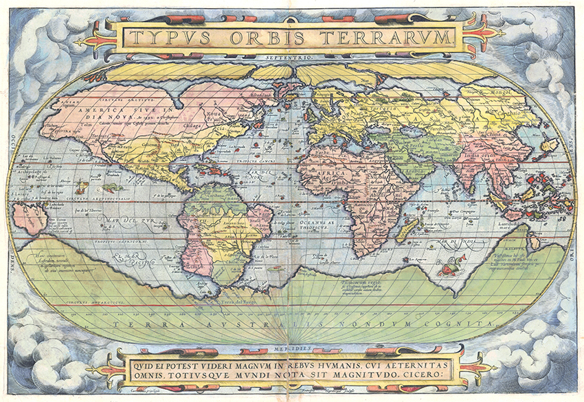
Historical maps show how regions were understood and depicted in earlier periods. They can illustrate shifting borders, such as Europe on the eve of the First World War, or visualise trade routes from the medieval era. These maps provide insight into how geography, politics and commerce were interpreted at different moments in history.
Beyond their historical value, world maps from earlier centuries are also appreciated for their visual character. The combination of period-specific cartography, typography and colouring gives historical maps a strong decorative quality, while still offering meaningful geographic context and are all available in high resolution JPG format.