High-quality vector downloads (EPS & JPG) for professional use
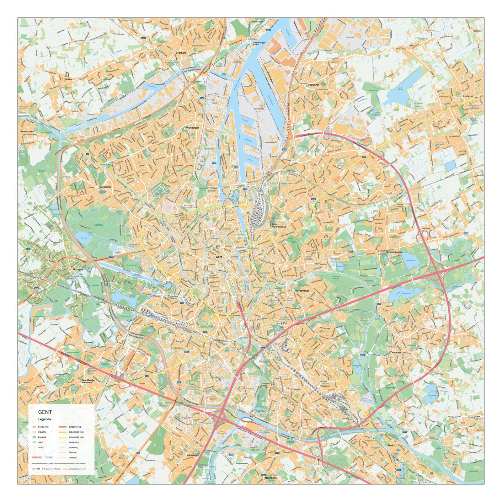
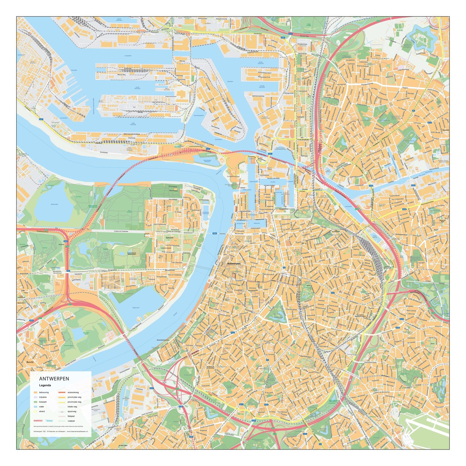
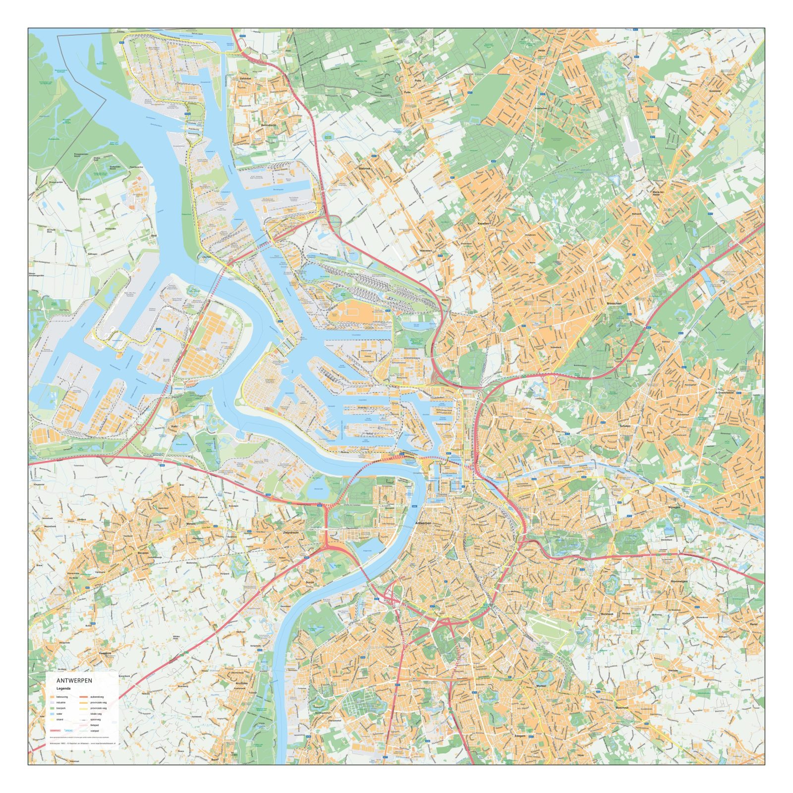
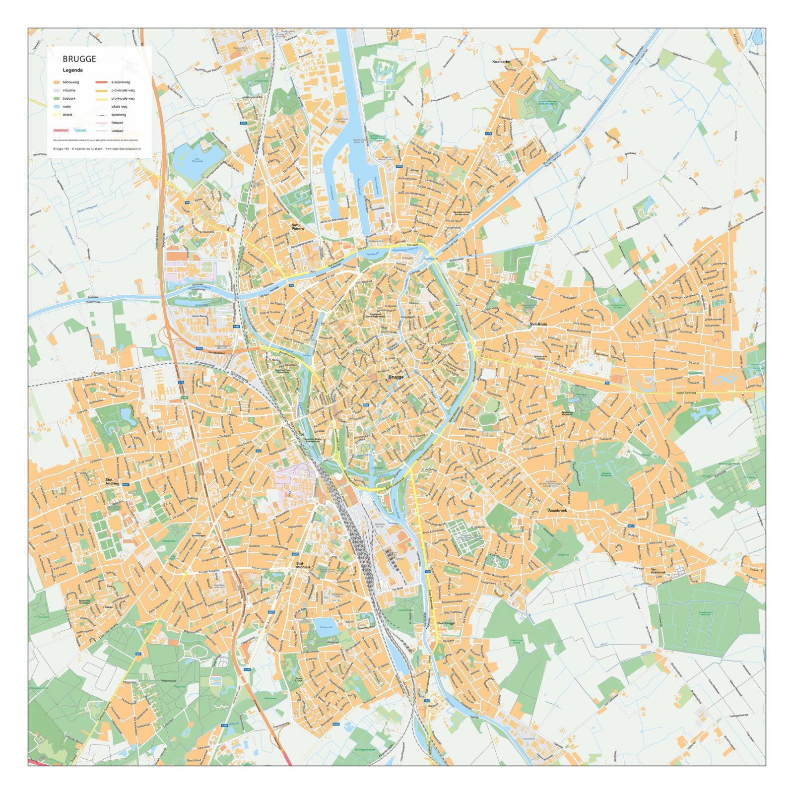
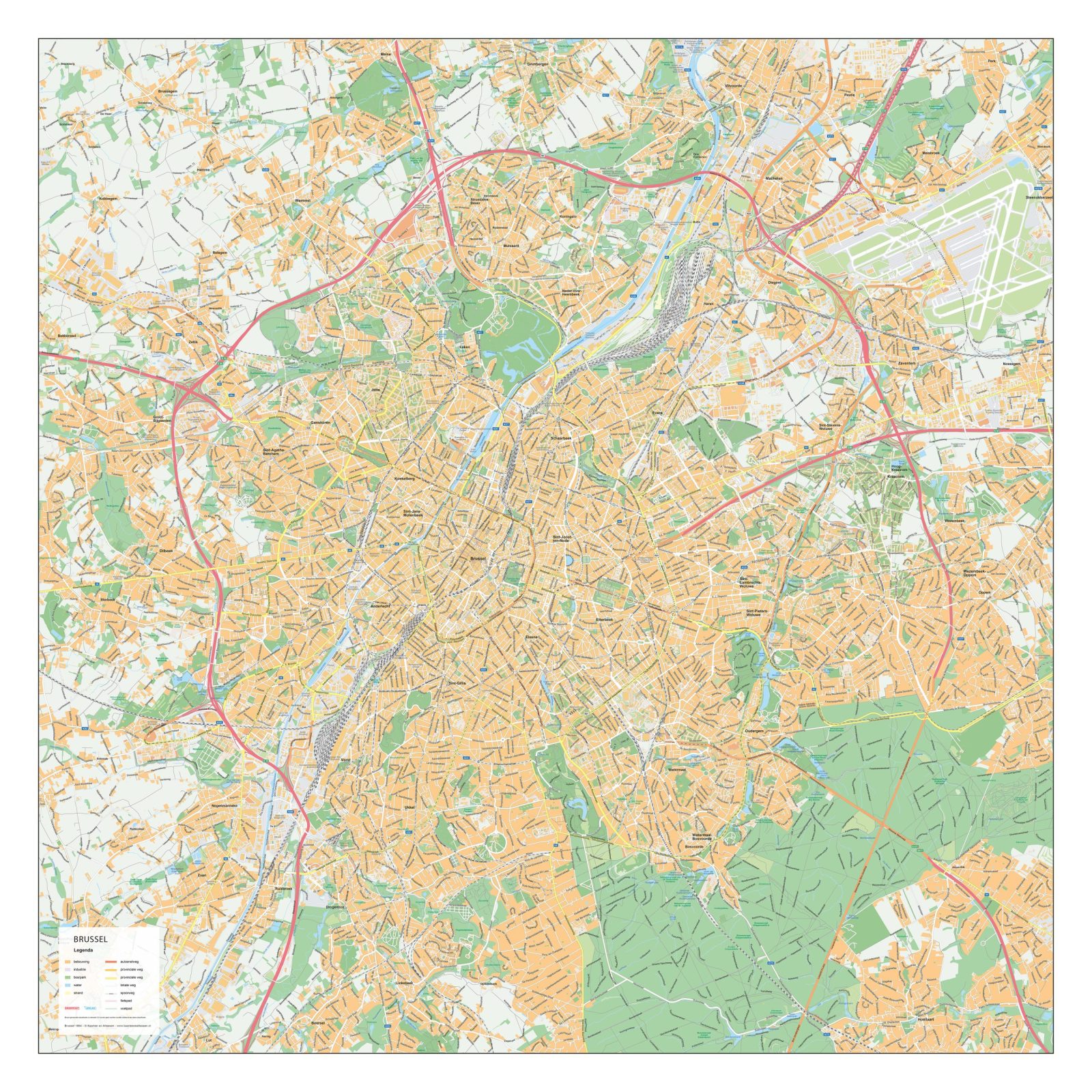
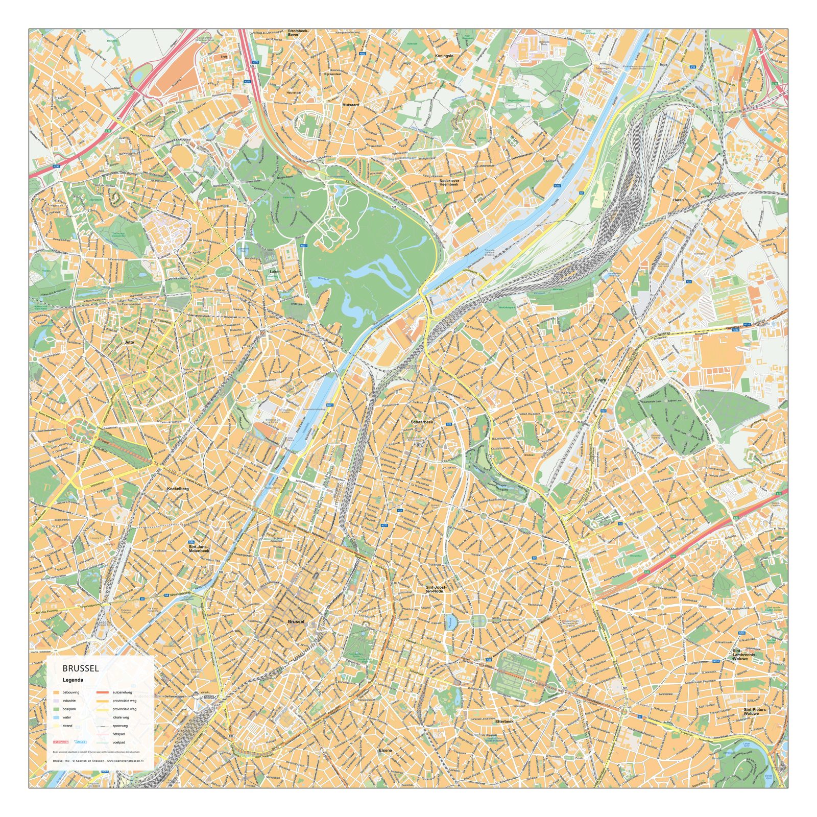
This collection focuses on detailed city maps of Belgian cities, including both historic city centres and surrounding urban areas. The maps clearly display street networks, waterways, parks and built-up areas, providing an accurate overview of each city’s structure and layout.
These Belgian city plans are designed for clarity and readability, making them suitable for professional reference, education and visual presentation. Depending on the city, the maps highlight key urban features such as historic cores, modern districts and green spaces, offering a well-balanced representation of the urban landscape.
Suitable for education, publishing, design and research
Available in various styles: detailed, pastel, modern, scientific
More than 30 years of experience in cartographic production
Custom modifications available
Need a Custom Map?
If you need a map with specific colours, labels, languages or custom details, feel free to contact us at info@theworldofmaps.com — we’re happy to help.