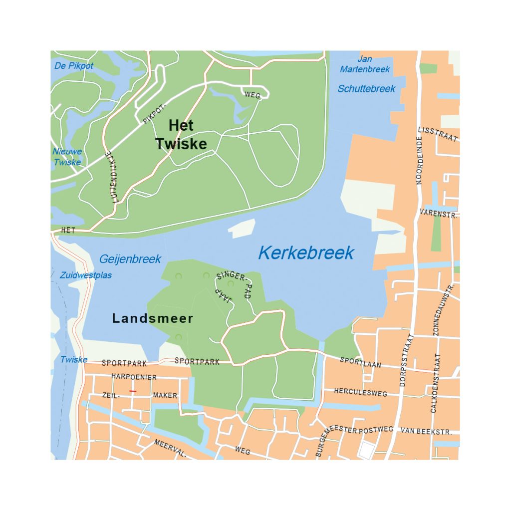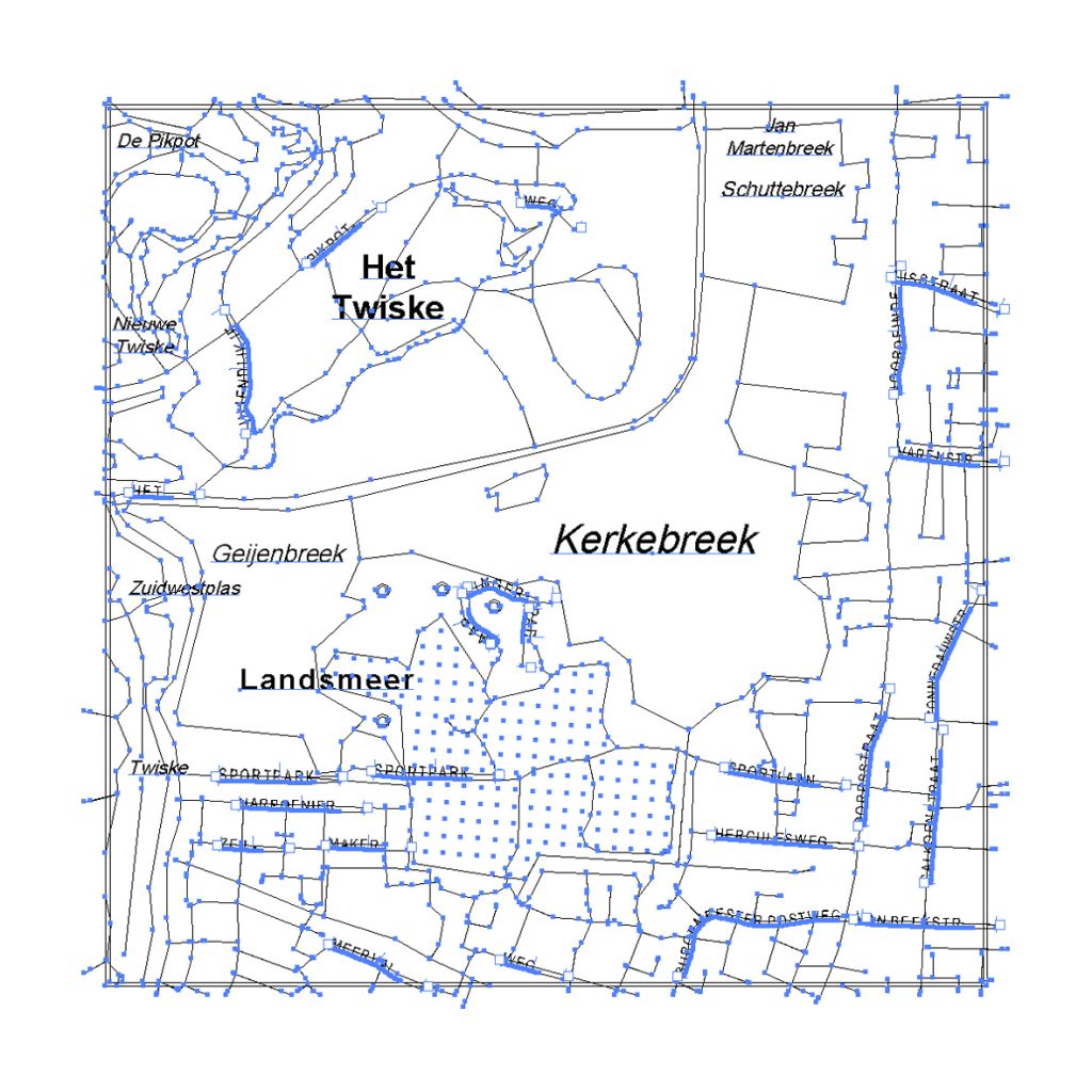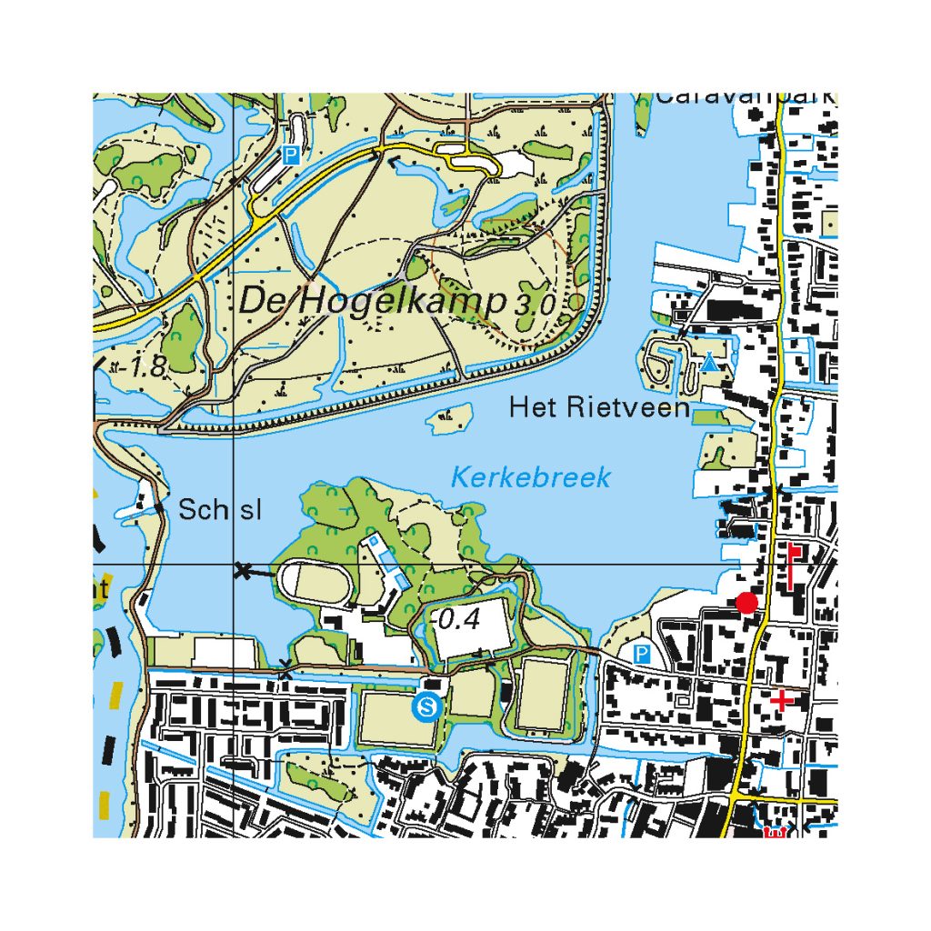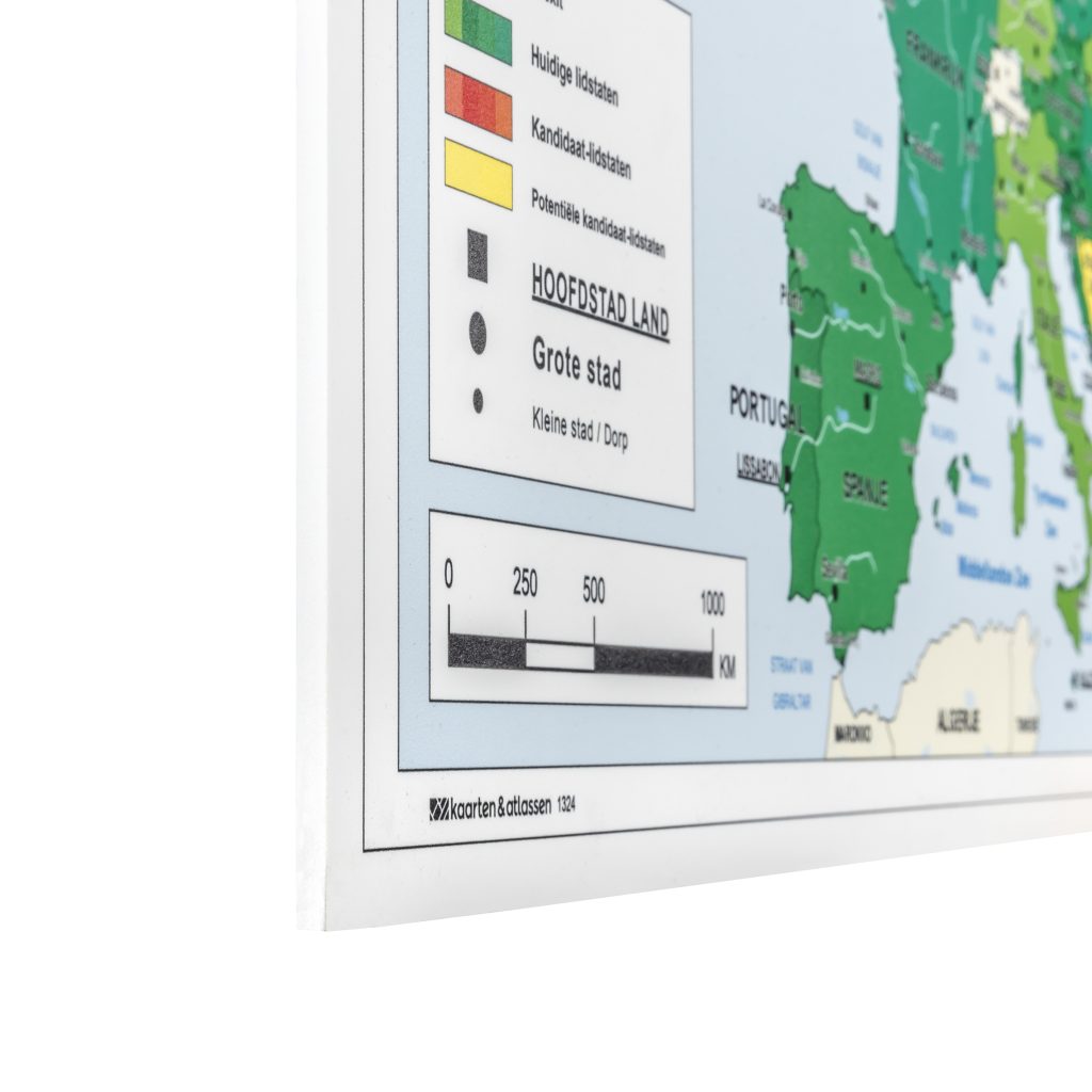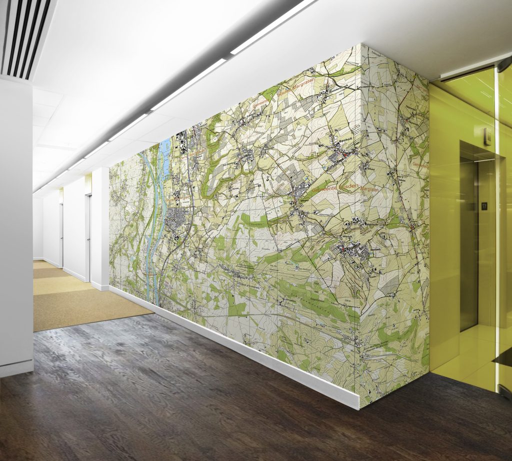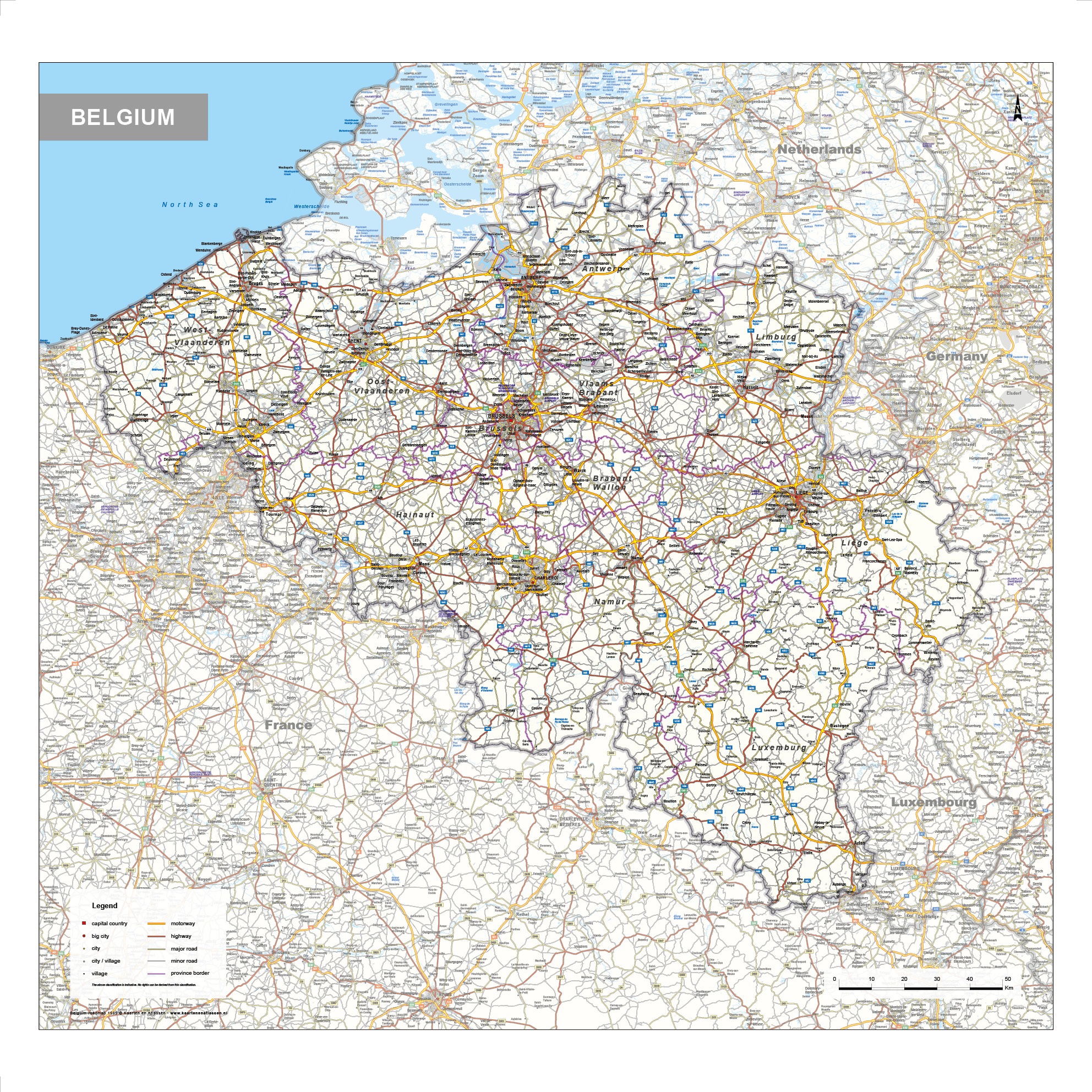
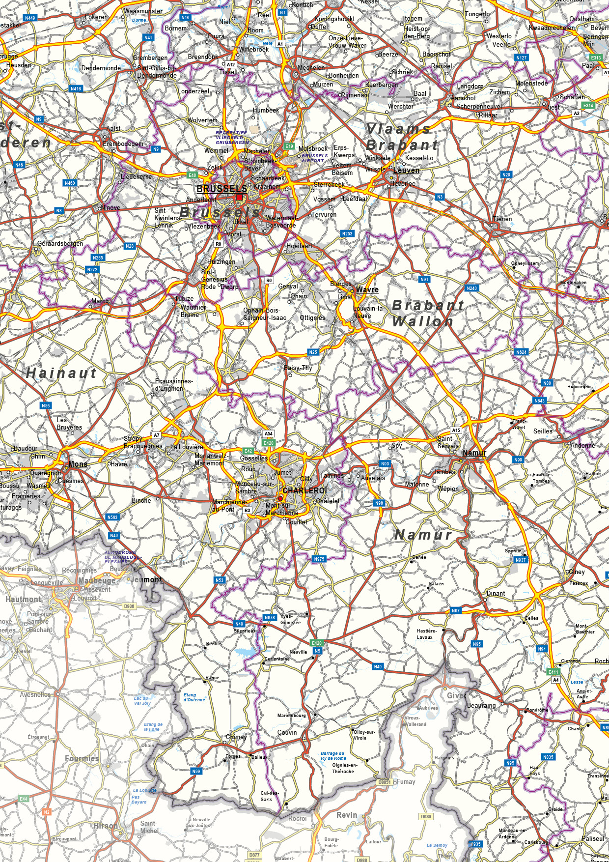
This detailed road map of Belgium provides a clear overview of the country’s infrastructure and geography. A wide range of cities and towns is shown, alongside highways, secondary roads, railways and waterways. Road numbers are clearly marked, allowing the transport network to be read efficiently. Provincial boundaries are included to add geographic context, while the overall layout remains balanced and well structured. The map combines clarity with a high level of information, making it suitable for reference, planning and professional use.
We also have a Political Map and a Physical Map available of Belgium.
Key Features
High-quality digital download (AI, EPS, SVG, PDF)
Fully editable vector layers
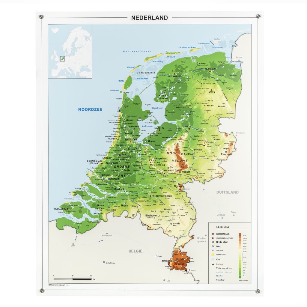
Detailed map with elevation / political borders
Professional color palette
Ideal for print and digital use
Scales without losing quality
Royalty-free use included (non-exclusive license)