- Delivered as EPS & JPG
- High-quality downloads
- Over 30 years of experience
✅ Diverse formaten
✅ Niet goed, geld terug
✅ Meer dan 30 jaar ervaring
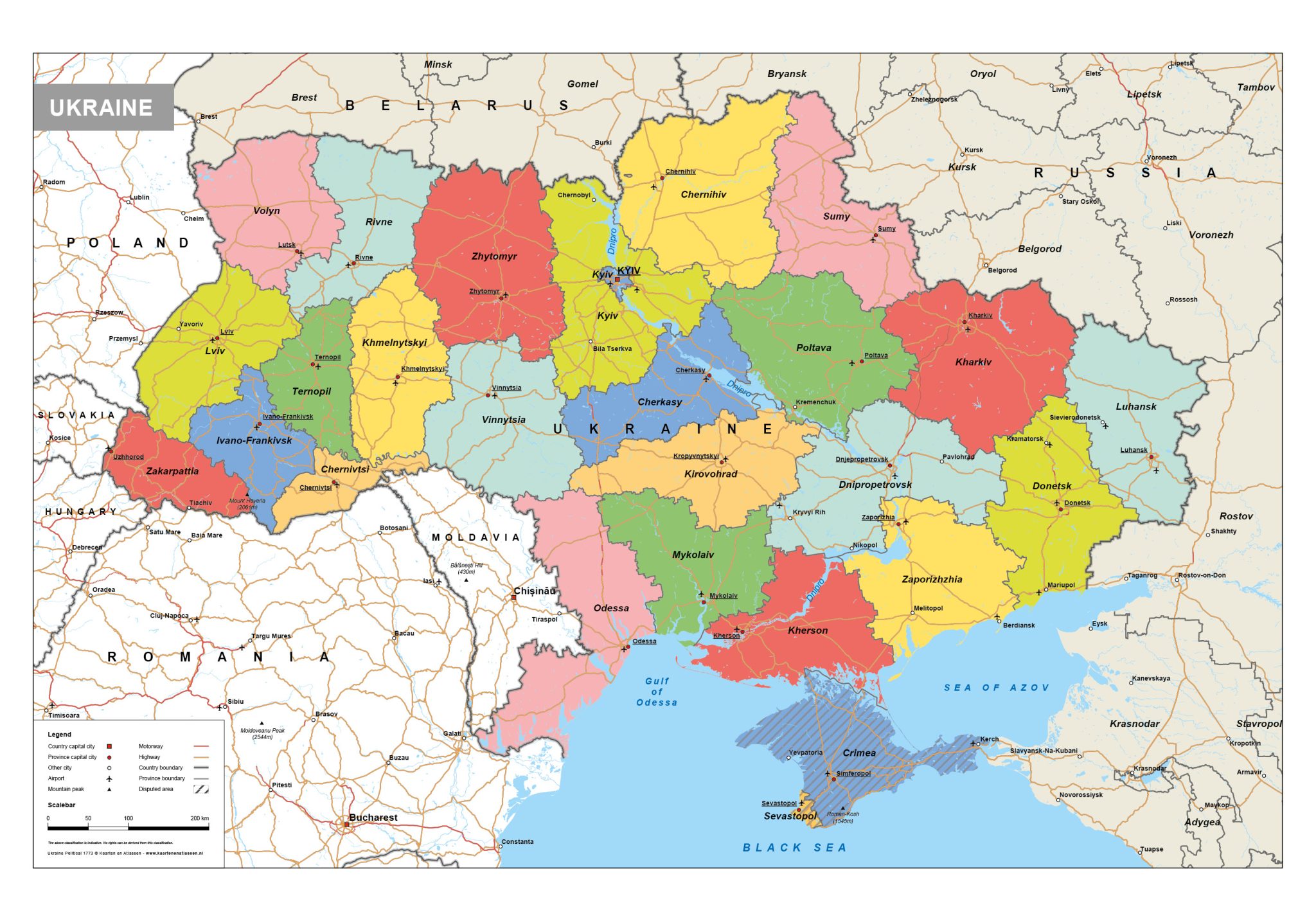
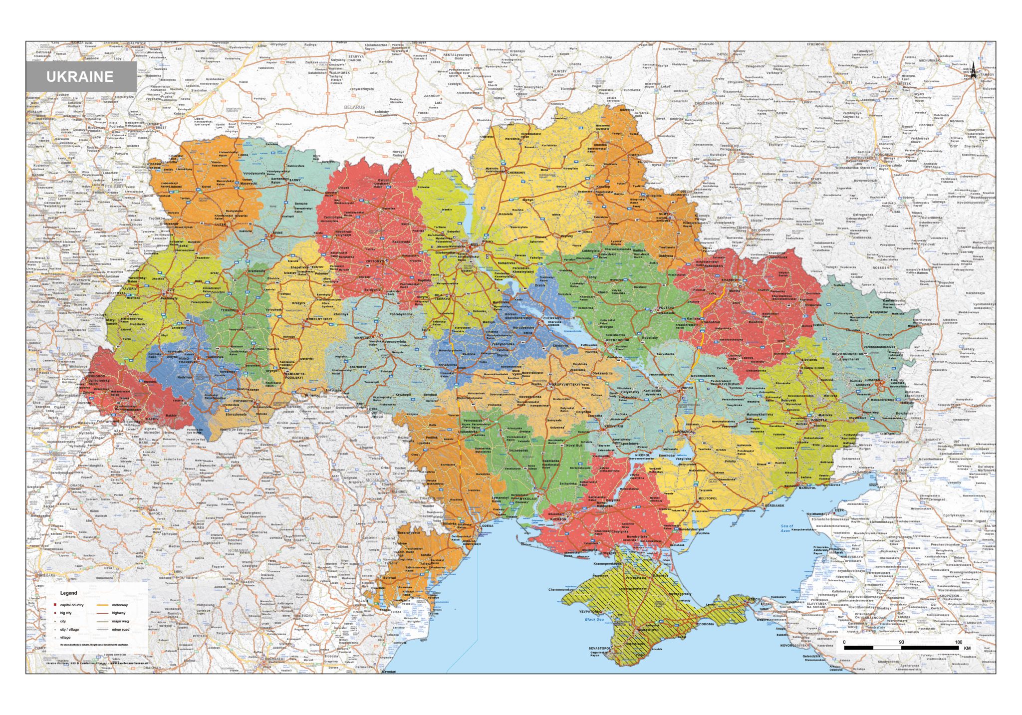
This category presents a detailed range of maps of Ukraine, covering political, physical and road-based perspectives. Political maps clearly show national borders and internal administrative divisions, providing insight into the country’s territorial structure. Physical maps emphasise landscape features such as plains, river systems and elevation differences across the region. Road maps focus on major highways, regional routes and transport links connecting cities and neighbouring areas.
Combined, these maps offer a comprehensive geographic overview of Ukraine, suitable for reference, analysis and educational use where accuracy and clarity are important.
Professional, high-resolution vector files (EPS & JPG)
Accurate cartography across multiple projections
Suitable for education, publishing, design and research
Available in various styles: detailed, pastel, modern, scientific
More than 30 years of experience in cartographic production
Custom modifications available
If you need a map with specific colours, labels, languages or custom details, feel free to contact us at info@theworldofmaps.com — we’re happy to help.